Cafayate
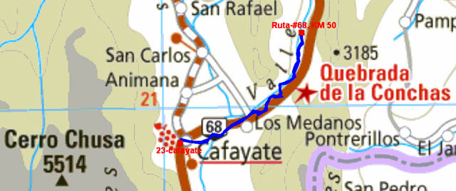
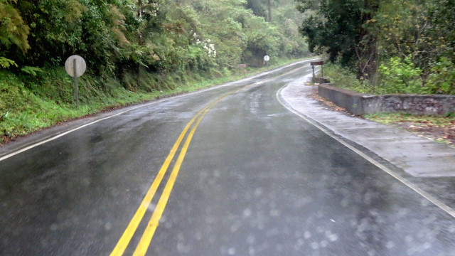
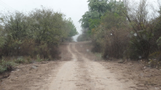
On Monday, August 29th I traversed the ruta-#68 towards Salta up to
50 km in Quebrada de Cafayate to see the most significant natural
monuments cut by the million-year erosion. It rained in the night
and the surrounding tops were snow caped. In the chronological
order, Los Castillos, El Obelisco, El Fraile, El Sapo, El Anfiteatro
and El Gargantua del Diablo. I present also two videos, the first
shows part of the ruta-#68, the second is a panoramic vision of the
amphitheater. I returned after lunching to the bivouac in front of
the always closed municipal camping.
|
|
| Quebrada de Cafayate, ruta-#68 |
Quebrada de Cafayate, click the picture
|
|
| Quebrada de Cafayate, El Anfiteatro |
On Tuesday, August 30th after having made supply I left Cafayate to
go to Qilmes. But passing in front of the camping Luz y Fuerza, open,
I decided to stay here to have rest and take a good hot shower…
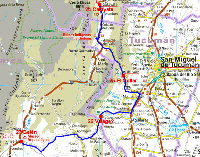
The GPS road tacklog
from Cafayate to Belén
from 2016/08/31 au 2016/09/03
Lake El Mollar
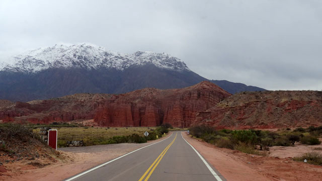
On Wednesday, August 31st the ruta-#40 led me to Qilmes while
crossing vineyards to visit the Pucará dating back to AD 1000
approximately. The fortress covered 30 hectares and housed 5000
inhabitants. The thickness of the walls testifies to the defensive
aspect of constructions. After lunching the ruta-#307 led me to Tafi
del Valle and a little further on at the edge of the lake Mollar at
1900 m high where I bivouacked for two days.
Pucará de los Quilmes, click the picture
Alas on Thursday, September 1st the lake was in the clouds during
all the day with an outside temperature of +3°C, brrr.
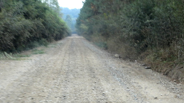
Ruta-#65, village ?
On Friday, September 2d I moved towards Concepción to make supply as
well as the full with diesel fuel. I have a great disappointment my
visa card was not accepted by the terminal, fortunately it remained
me cash, to follow to find ATM! To join the ruta-#40 at Belén I took
the ruta-#65 which was transformed quickly into track, certainly
good, but in serpentine in the mountain and the clouds, with a pass
at +1900m high. While going down again from the pas I found a
bivouac on a football field in a village without name at 1500 m of
altitude.
Belén
On Saturday, September 3rd shortly after 9:00 I left the village
without name with the fall of some snowflakes. On the way the
ruta-#65 then #46 crossed landscapes covered with a fine film of
snow. The ruta-#46 went down in innumerable laces from +1700 m to
700 m at the village Andalgalá testifies to it OSM map with the
track in red calculated by QuoVadis7 and the trace transmitted by
Garmin GPSMap 267C. I lunched on the track-#46 before arriving in
Belén around 15:00. I establish my bivouac on Plaza at approximately
1300 m of altitude. Of course all stores were closed and not hearts
who live in the streets. The temperature was of +2,5°C.
Ruta-#65 & Belén, click the picture
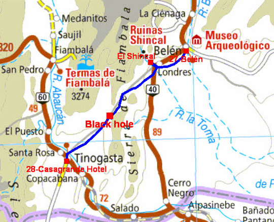
The GPS road tacklog
from Belén to Tinogasta
from 2016/09/04 au 2016/09/04
Tinogasta
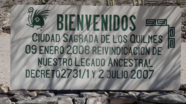
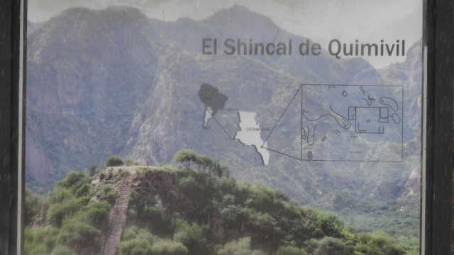
The day of Sunday, September 5th started with a disappointment and
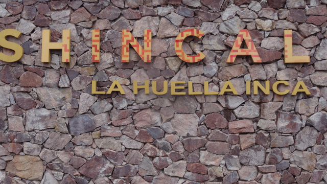
it finished in a black-hole. Indeed at the village of London 21 km
of Belén is the archeological site El Shincal. Alas it was closed
for the day! I continued my progression to go to Termas de Fiambalá
which I did not reach. The road calculated by QuoVadis7 on OSM map
passed by the track RP-3, Cuesta de Zapata, which is very narrow and
curves in the mountain. I followed it without concern although being
alone on this track. But in a turn at 1731m of altitude the track
was concealed under the truck which fell into a hole, It was 13:00.
After examination of the situation I could nothing make alone,
moreover I was at 28 km from Tinogasta. I could not thus go there on
foot. The chance or providence make take my smartphone and I noted
that there was a good signal. I remembered that in America the
emergency call is the 911. I tried my chance by typing this number
directly. Bingo, I have a correspondent speaking of course Spanish.
I explained to him where I was and in which situation. He told me
that he sent a vehicle which arrived approximately an hour-and-half
later with three men. Alas the jack of Mercedes is too small to
raise the truck. The person in charge returned to Tinogasta. But
misfortune there was a fire downtown, he had to take part in its
extinction. Consequence he returned to my truck around 20:00 with a
reinforcement of labor and material. The truck was extracted from
the black-hole around 21:30 and we arrived at Tinogasta around
23:00. The person in charge made me examine by a doctor of the
hospital. All was OK. I then asked to go to a hotel. It was
Casagrande Hotel. The team was made up of voluntary fire station. I
asked for the invoice, I did not have anything to pay. Tinogasta is
at 1220 m of altitude. The Wifi connection of the hotel was slow and
asthmatic. I discovered a cybercafé on Plaza with a good connection.
I decided to leave the hotel and to remain in Tinogasta to publish
my site.
 |
 |
| Closed on Sunday |
Black hole, click the picture