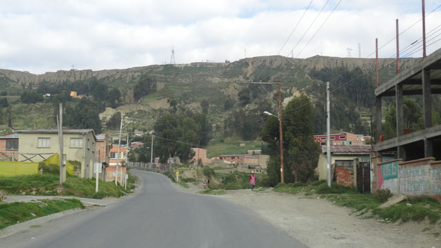
Oruro, Obrajes
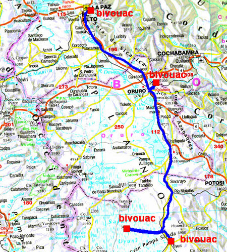
On Sunday, January 24th the departure was at 7:00 to join Oruro
(Obrajes) where there is a spa. But it was Sunday and the crowd was
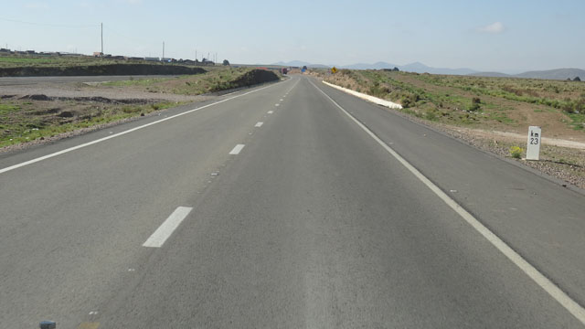
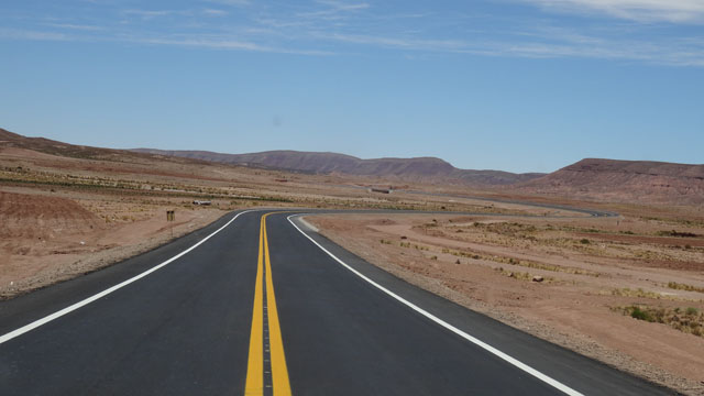
compact. I went my way to bivouac in nature. The national ruta #1
(F1) from Paz to Oruro is with twice two lanes and without topes in
spite of the crossing of villages, what happiness.
Obrajès
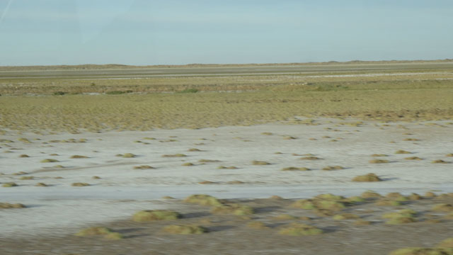
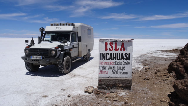
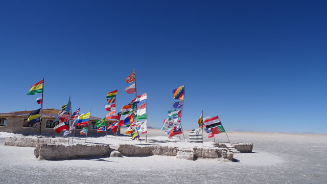
Salar de Uyuni
On Monday, January 25th I left before the daybreak to
go to Salar de
Uyuni after 380 km of a good road except approximately 10 km to
connect the two lately finished sections of the ruta #30 from
Challapata to Uyuni. I wanted to see this famous largest Salar
in the world. Admittedly it is very white like a snowfield. It is
the happiness of the tourist hordes and in particular the Asian
ones. I bivouacked on the spot away from Isla, private property.
Isla Inkahuasi, click the picture
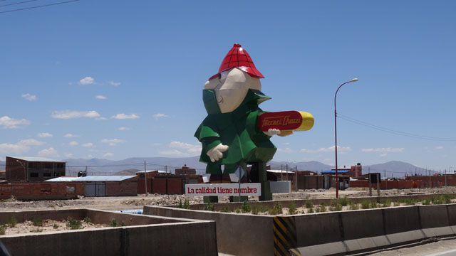
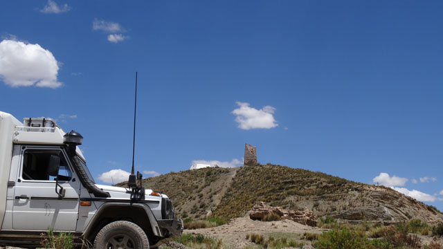
Uyuni
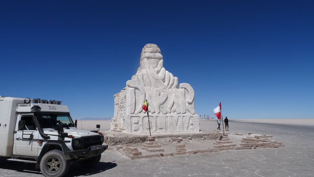
On Tuesday, January 26th I gave up Salar de Uyuni without regret by
drawing straight on Colchani, certainly while following the black
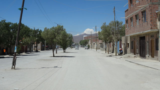
traces left by the tires on white salt. While entering Uyuni I made
wash the truck to remove it from salt. I sought Direccion de
Turismo, closed of 12 at 14:30. The afternoon was devoted in looking
for a laundry, a cybercafé and drinking water for the tanks. A
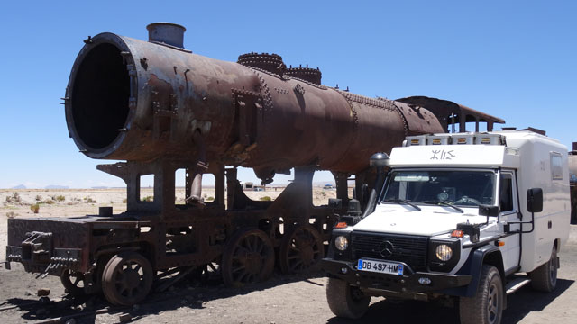
afternoon quite ordinary. Then I visited Cementerio de Trenes where
I establish my bivouac. Tomorrow I will use information previously
obtained.
Salara Uyuni
 |
 |
| Dakar 2016 |
Uyuni
On Wednesday, January 27th while waiting for the delivery of my linen
by the laundry, I did administrative jobs, the preparation of the
continuation of the journey in Bolivia as well as the reading of my
mailbox at the cybercafé. In the evening back to my bivouac at
Cementerio de Trenes, I have the pleasant surprised to find my
Swiss friends Renate & Bruno who again invited me to dine.
 |
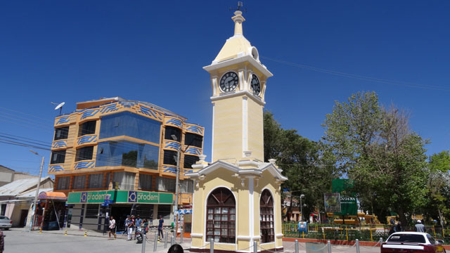 |
| Entrance of Uyuni |
Clock Tower |
 |
 |
| Cementerio de Trenes & Bivouac |
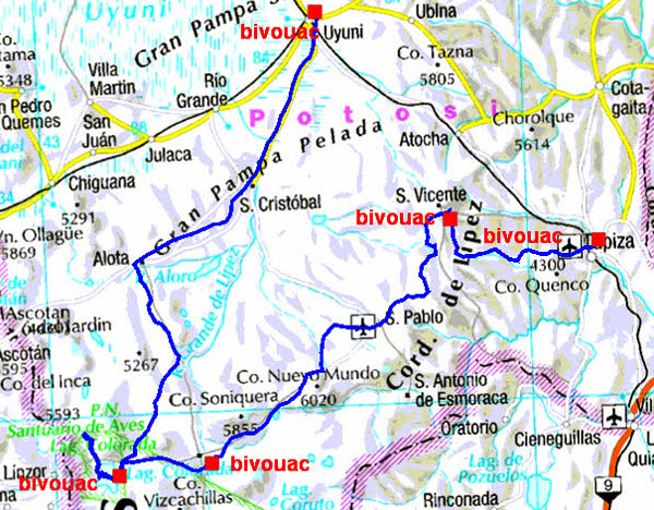
The GPS road tacklog
from Uyuni to Tupiza
from 2016/01/24 au 2016/01/27
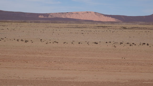
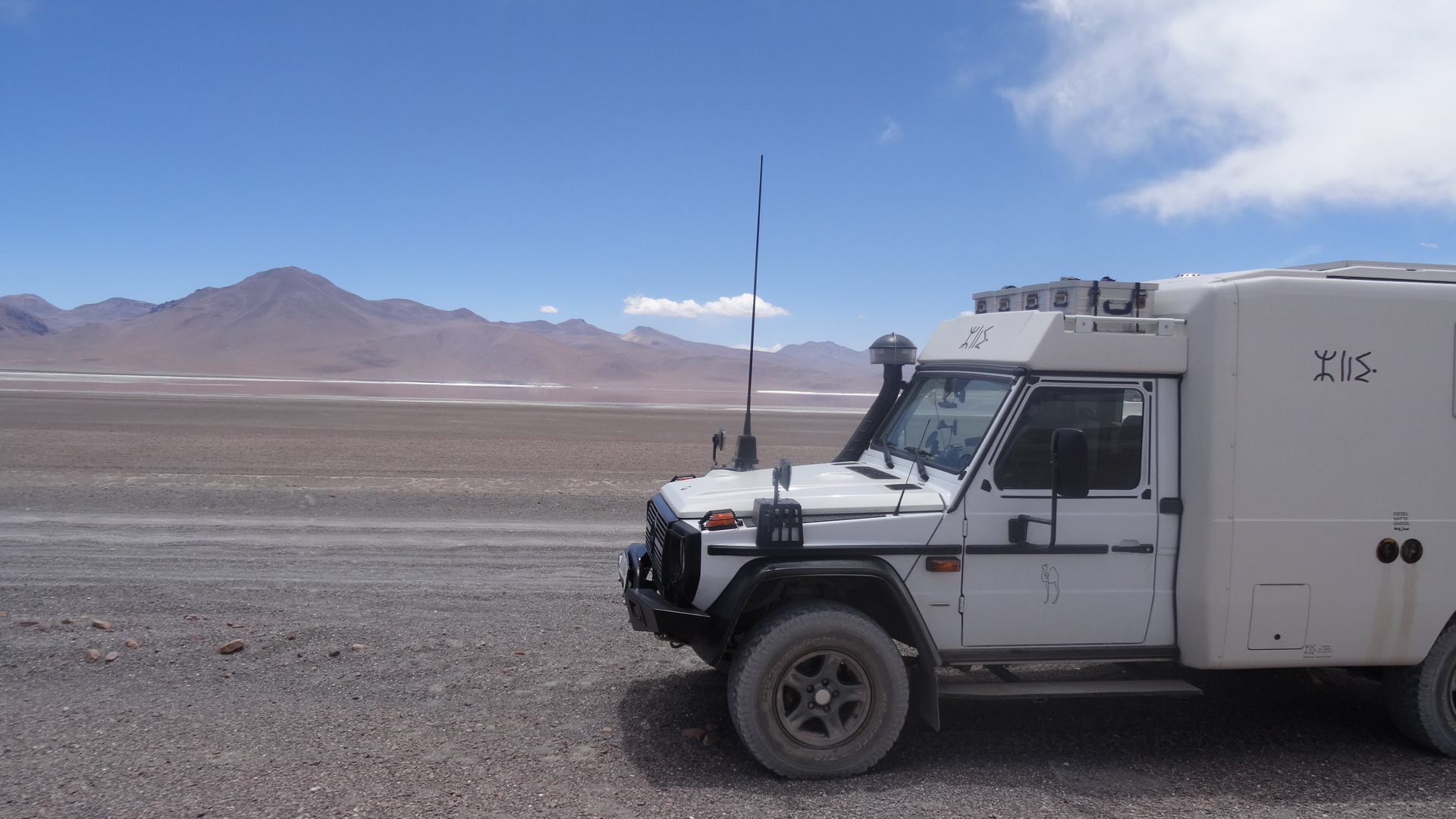
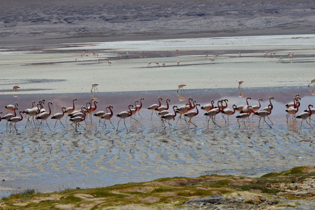
Laguna Colorada
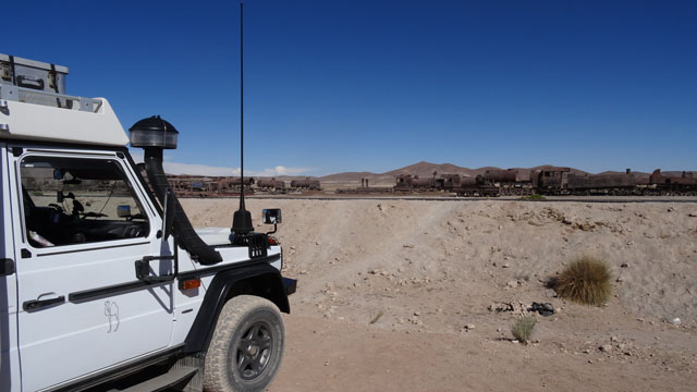
On Thursday, January 28th I left as of early dawn, after a photograph
of the sunrise on Cementerio de Trenes, because the way from Uyuni to
Laguna Colorada is a rather travelling ground track of 260 km up to
Villa Alota then in bad condition until Laguna via a toll at the
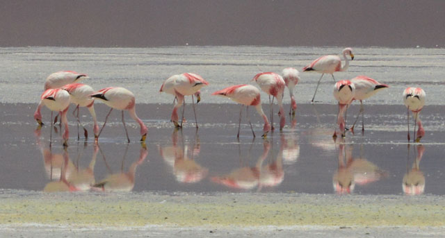
entrance of Reserva Nacional de Fauna Andina Eduardo Avaroa. Laguna
Colorada has a area about 60 km ² and an average depth
of 45 cm. Its red brick color changing during the day due to
microscopic algae. It is the biotope of three Flemish species of the
Andes. The access with vehicle to the lagoon is prohibited,
moreover Flamencos are very far away from accessible bank on foot.
Finally I am equipped only with a 200mm teleobjective.
Consequently the photographs of the Flamencos gallery were largely
framing then increasing to the maximum. Admittedly the result is
not brilliant. But finally… for the faultfinders there is certainly
a GEO issue on Bolivia. I bivouacked on the spot on the side of
the road with 4310m of altitude.
Ruta a Laguna Colorada, click the picture
Laguna Colorada, Flamencos, click the picture
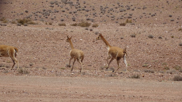
Quetena
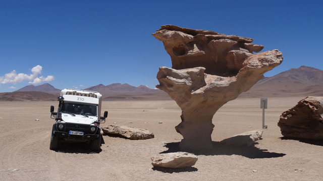
The
target of the Friday, January 29th was to go to see Arbol de
Piedra located on the western track of Laguna Colorada at the
waypoint: S 22° 03.125 ' W 067° 53.004 ' While passing on this
western face of the lake I discovered a watch carpark, at the
waypoint: S 22° 12.781 ' W 067° 47.950 ' overhanging it with a
descent towards the bank. The photographs published by the Gallery
below are neither framing and nor increasing. The duration of the visa, 30 days
extensible, as well as the way towards the French Guiana did not
enable me to go to see again Licancabur of which I had climbed in
August 2002,
here.
Then I returned from where I came to go to bivouac close
to Quetena in the direction of Tupiza. I then cross to date the highest
pass at 4850m high. I hastened to go down not to remain
at this altitude. The bivouac is only at 4250m high.
Ruta a Arbol de Pierdra & a Quetena, click the
picture
Flamencos de nuevo, click la photo
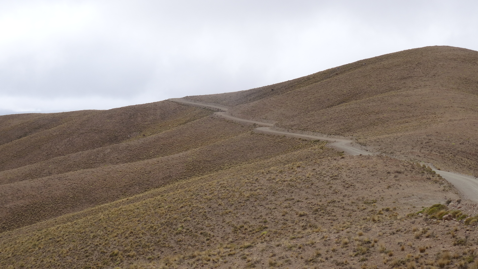
En route Tupiza
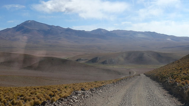
Saturday, January 30th was still a long day on ground track with
much of corrugated iron in dramatic landscapes. I left the national
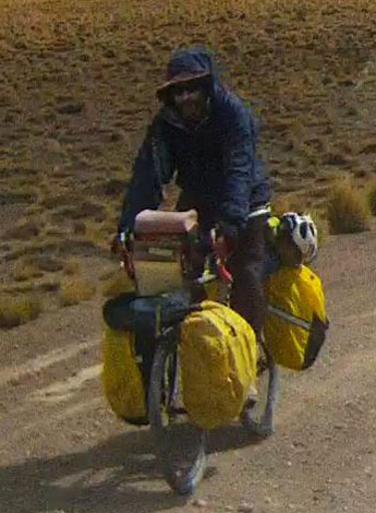
reserve by presenting the entrance ticket. On my way I met two
cyclists, a young couple coming from Quebec, we exchanged some
words. They traverse on average 50 km per day, What a courage!
Further on I climbed a pass at 5000 meters high, but in my camper.
San Antonio de Lipez is a village in ruin. I had the lunch on the
place of the church of San Pablo de Lipez. I had then traversed 126
km in four hours. Then I continued towards Tupiza by stopping on the
edge of the track to bivouac.
La ruta-1, click the picture
Exit Tupiza
On Sunday, January 31th I took again the road for Tupiza in the
clouds. I traversed the distance of 105 km in four hours in imposing
landscapes at the approach of Tupiza in the descent of a quebrada,
gullies, with the colors of the rainbow. In Tupiza it was market day
in the blocked main street. I should make a detour by tortuous and
muddy lanes to find the ruta Panamericana towards Potosi. I
bivouacked on the heights on roadside.
La ruta-2, click the picture