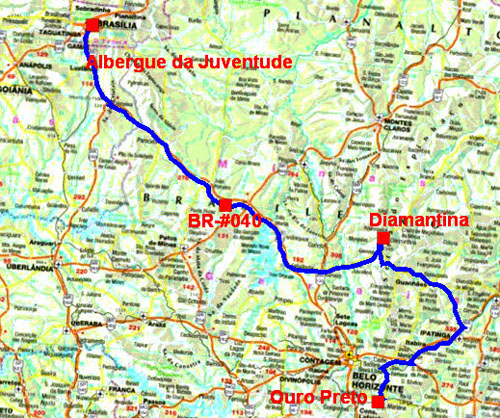
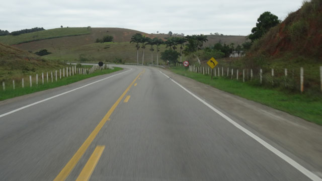
BR-#040, Joao Pinheiro / Luislândia
I left Brasilia on Monday, June 6th around 8:00 towards Rio Janeiro
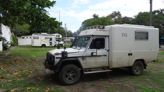
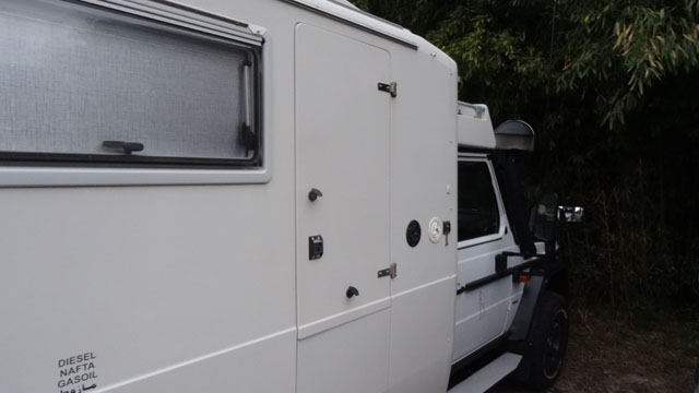
while playing truant. On the way I warned a station of washing with
a pit to wash the truck and his hidden parts. Indeed its last
washing went back to Cayenne! It still carried the marks of
stagnation at the time of the passage in barge from Guyana to Brazil
then muddy tracks to join Sao Luis. I found a bivouac in a gas
station on the BR-#040 between Joao Pinheiro and Luislândia,
peaceful night.
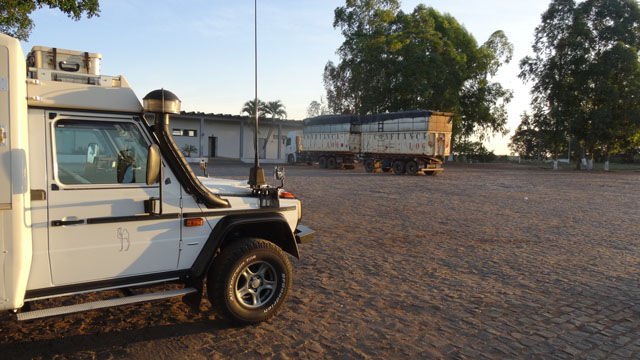
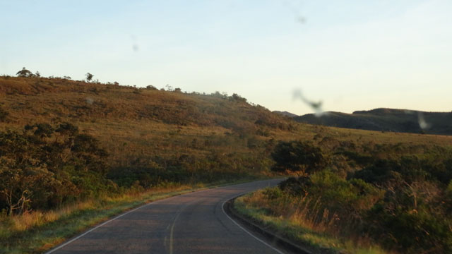
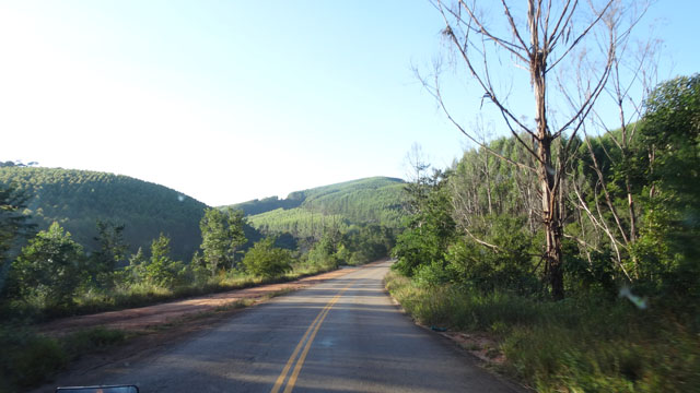
BR-#259, Diamantina
The objective of the Tuesday, June 7th was of going in the mountains
towards Diamantina. Maximum altitude reached was of 1430 meters.
After a fast tour in the city I returned to the BR-#259 to bivouac
on a vast ground on the road to the airport.
BR-#259, click the picture
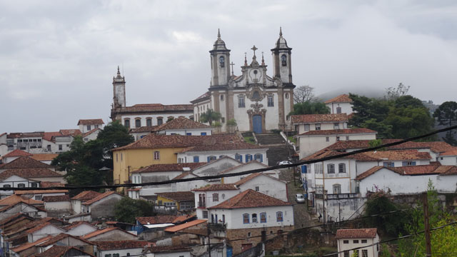
Ouro Preto
On Wednesday, June 8th I strolled in the mountains towards Ipatinga,
localization of the HF relay used for sending position-reports
[PY4LF.WINLINK, Ipatinga, MG - 7040.0 7040.0# 14113.0 14113.0#
21119.0 21119.0#]. I arrived at Ouro Preto around 17:30 little
before the night to bivouac in front of what was the Youth hostel of
Ouro Preto. I had carried out approximately 520 km of which a
section of track. The town of Ouro Preto is built at mountainside
and dates back from 1698. The streets are inclined paved
irregularly. I found without difficulties the carpark between the
churches Sao Jose and Sao Francisco of Paula where I spent two
nights.
 |
 |
 |
 |
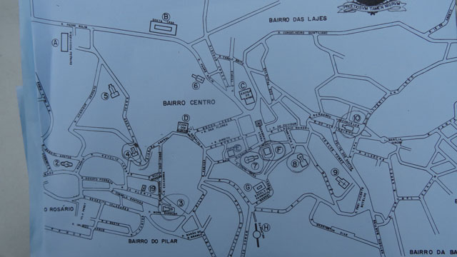
The following day while going down from the carpark I was lucky to
find a bookseller who sold me a city map. I visited only three
churches and the Museu da Inconfidência. Indeed it was a true
martyrdom, the way of cross of penitent so much I suffered from my
physical condition. Moreover at the museum I asked to use the
elevator with a guard. I strongly misadvise to the atheists and
other sectarian of any obedience to visit this city; it is reserved
for the faithful ones. In all the buildings panels mentioned No
Photo. Of course I took some not conceiving legitimate this
prohibition. But alas I was taken in red-handed and marked at my
breeches! By the rua Sao Jose I reached Matrix NS do Pilar whose
ornamentation is covered with 434 kg of gold and silver. Then it was
NS do Carmo. While walking on I reached Museu da Inconfidência where
I was constrained to put my camera in a rack. Damage because it
exhibits true nuggets of sculptures by Ataide and Aléijadinho. Not
far it was Sao Francisco de Assis one of the most important
religious monument in Brazil. Finally Nossa Senhora da Conceicao was
closed under work. To comfort me I lunched in Chafariz recommended
by Lonely Planet; alas the heading was written by an Australian. I
returned to the bivouac around 14:00 to put the photos on my website.
 |
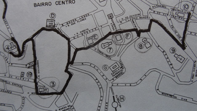 |
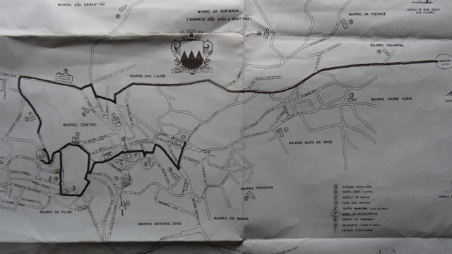
| Citymap with walking streets |
Visite de la ville , click la photo
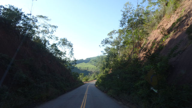
Guarapari
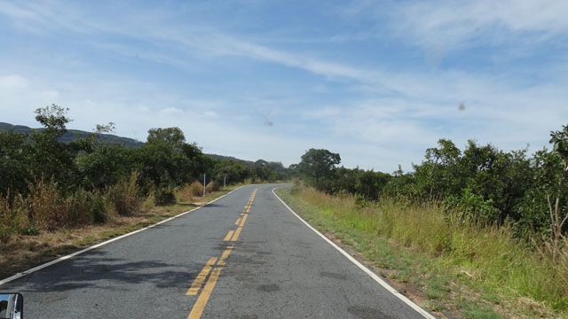
|
| Ouro Preto exit road |
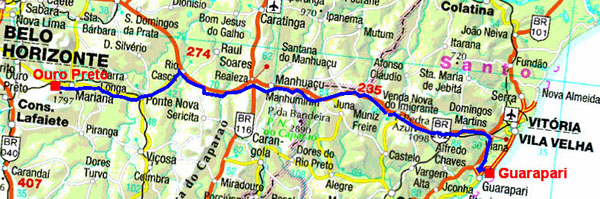
the GPS road tracklog
from Ouro Preto to Guarapari
from 2016/06/10 to 2016/06/10
I left Ouro Preto on Friday, June 10th to the forefront of day. I
had any difficulty for leaving the city in spite of many the topes,
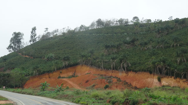
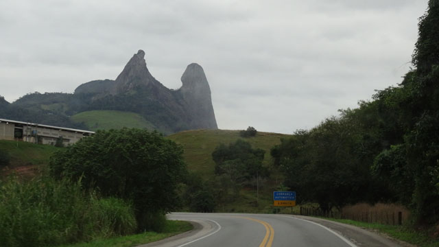
lombadas. The road to Guarapari, BR-#262 curves in the mountains
between 600 and 1100 meters high crossing many villages filled with
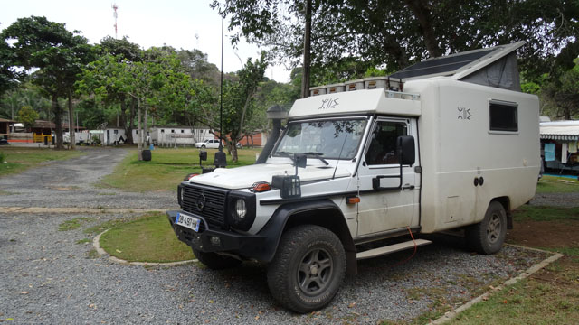
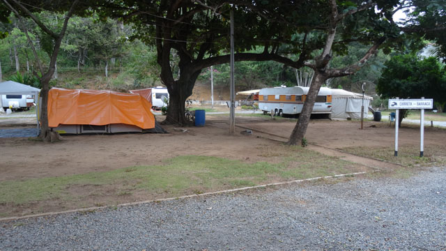
difficulties. I arrived at the Camping Clube do Brasil at Guarapari
around 15:25, located in seaside. I settled there for two days to
prepare my visit of Rio Janeiro.
Cabo Frio
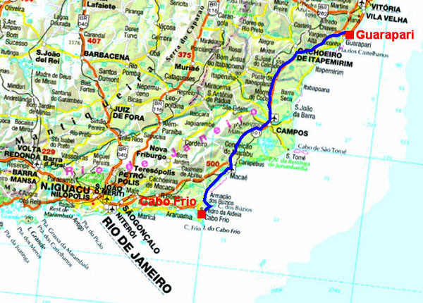
The GPS road tracklog
from Guarapari to Cabo Frio
from 2016/06/12 to 2016/06/12
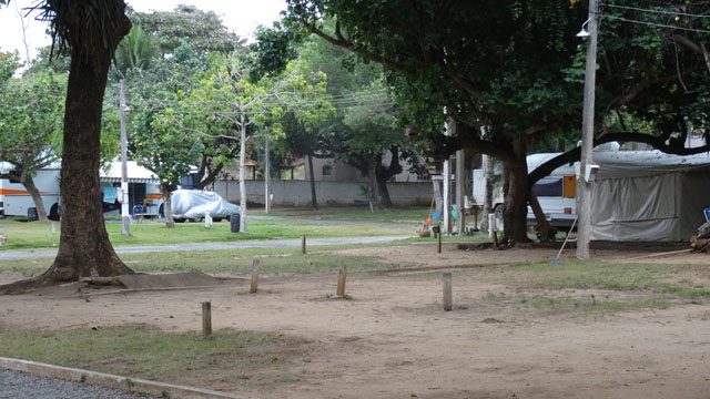
Bingo, the newspaper, found at the CCB of Guarapari, 0 Campista N°
519, Maio de 2016, gives the list of the Camping-Clubes do Brasil.
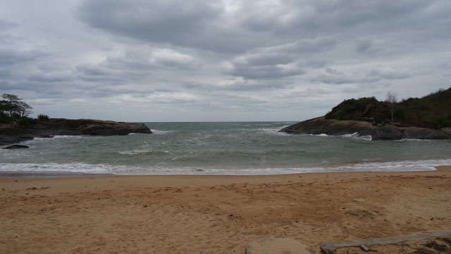
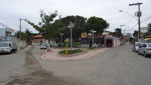
Consequently on Sunday, June 12th I went to the CCB of Cabo Frio.
Well, it is not very exciting but there is a WiFi connection. The
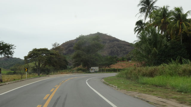
road from Guarapari to Cabo Frio twists in rolling mountains between
20 and 200 meters high with sugar loafs dominating the landscape.
The morning was gloomy with a covered sky and fog.