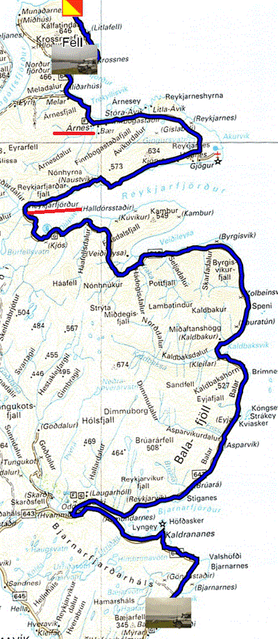
Monday July 5 was another gloomy day with clouds over the mountains. En route the seashores are occupied by huge driftwood from Siberia through the Arctic Ocean. I spotted a pyramid-shaped arrangement. Deep in Reyjarfjördur in Djupavik, a large white building is the ruin of a herring factory closed in 1950. Continuing my way I saw seals sprawled on rocks surrounded by orange kelp. I arrived in Arnes to cross the North Arctic Circle and visit two churches, one old and one new. Alas, I was attacked by terrifying screeching birds that pecked vengefully at my beanie, I pulled my hood down for protection, but the assault persisted, and one dropped droppings on the hood. I abandoned the scene remembering Alfred Hitchcock's film The Birds. My retirement was not glorious. The Strandir coast trail ends at Nordurfjördur with an extension to Fell's farm. I returned to the village to establish my bivouac.

|
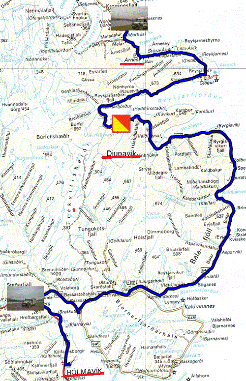
Tuesday July 7th I traveled the Strandir Coast north-south to Hölmavik. In Arnes where I had been attacked by vindictive birds, I stopped, without leaving my vehicle, to take a photo of the sign announcing the birds, of the recent church and in the grass, this type of aggressive birdwith the very sharp beak. The waterfall behind the disused herring factory in Djupavik is a testament to the majesty of Iceland's landscapes. Alas it was another gloomy day without sunshine. I bivouacked at the crossroads of roads 643 and 61.

|
| Djupavik |
On Wednesday July 7, I left the bivouac early in the morning to take route 61 which climbs to an altitude of +400 meters on a plateau streaked with numerous glacier torrents. Both on the way up and down the winding canyons have been carved for millennia by the waters of melting glaciers. I went from one fjord to another to go to the end of Mjoifjördur in Heydalur where I bivouacked as usual at the water's edge, far from the campsites where tourists are side-by-side driven by the gregarious instinct of the Panurge's sheep . Legally, wild camping is prohibited, so far the police aren't omnipresent. Iceland, country blessed by the Viking gods, relaxed police, no crime, no army (NATO ensures its security).
 |
 |
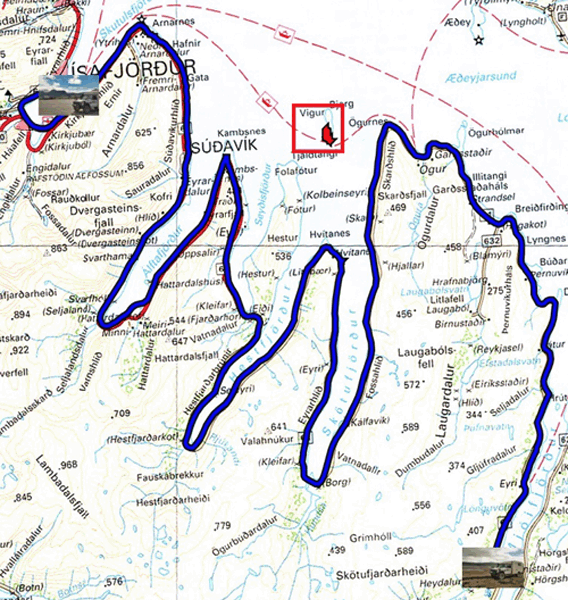
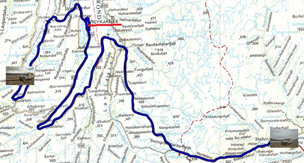
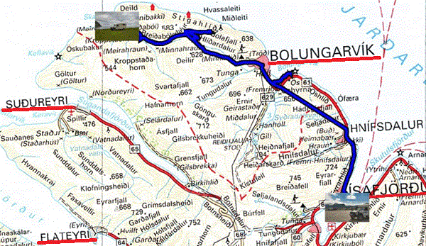
Thursday July 8 I was traveling route 61 on the north-east coast of the Westfjords winding in roller coasters the edge of the ocean from fjord to fjord to reach Isafjördur beyond the arctic circle, 66° North, after having crossed a dug tunnel by hand in 1949. The sky is strange, covered with a black cap interspersed with bands of light blue overlooking the mountains with a cap of white clouds. In Isafjördur I bought a ticket to visit Vigur Island, a small island, inhabited by a family collecting eiderdown, here, whose father served as a very professional and prolific guide. At the end of the visit and the country walk in a violent wind, a snack was offered to us with Icelandic sweets. I had the rare privilege of seeing a shearwater holding in its beak, ... a fish. Left at 2:00 p.m. we were back at the port at 5:00 p.m. I was getting down to the administrative work of maintaining my website bivouacking in the port.

|
| Arctic sky |
Friday July 9 I was going to the edge of Route 630 in Skalavik Cove to the hamlet of Meiribakki. I made a detour up to Bolafjall at the foot of a huge metal ball housing large magnetic ears. As the photo below shows, the environment has been a plateau cut into deep valleys for 30 million years. Iceland is on the rift between the American continent and the Indo-European plain emerging continuously at the rate of 1 mm at Þingvellir National Park to at 18 mm per year. I bivouacked there.

|
| Montagnes tabulaires, Tabular mountains |
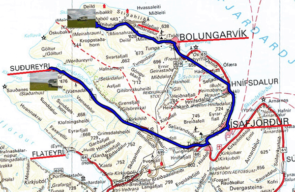
Saturday July 10 was a short day on the road still in dramatic landscapes with an overcast and foggy sky (11 ° C). I stopped in Isafjördur to wash the truck at the N1 service station, free. Then it was a two-way tunnel, one for Sudureyrei and the other for Flateyri. I bivouacked at the end of road 65 in Stadur.
 |
 |
| Sugandafjördur | Stadur |
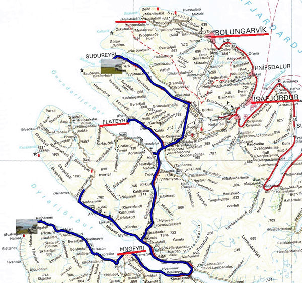
Sunday July 11 began with the visit of Flateyri located at the exit of the tunnel on a strip of land in the middle of the fjord. Some houses are nicely decorated. On the way, I noticed a bird with a long beak perched on a pole which watched me pass. Skrudur is an unlikely botanical garden here. After Þingeyri I took route 622 to the bivouac in a setting of rocks sculpted by erosion for millions of years.
 |
 |