
The GPS road tracklog
from 10-bivouac to Atar
from 2019/12/09 to 2019/12/09
En route to Atar
Monday, December 9 departure at 7:00 for Atar the first 50 km are
painful on a track cut by transverse gullies coming from the
mountain then the track became travelling in a lunar and dusty
landscape. I took my distances with the Ahmed' vehicle. We arrived
little before 15:00 at Atar to fill the tank with diesel fuel as
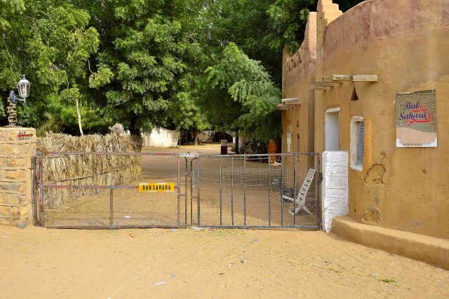
well as purchases. I installed the bivouac in the Bab-Sahara
camp-site to take a tepid shower running with parsimony, but finally
a shower.
click on the pic for opening the gallery
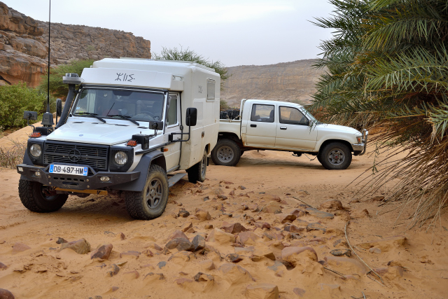
|
| Bab-Sahara camping |
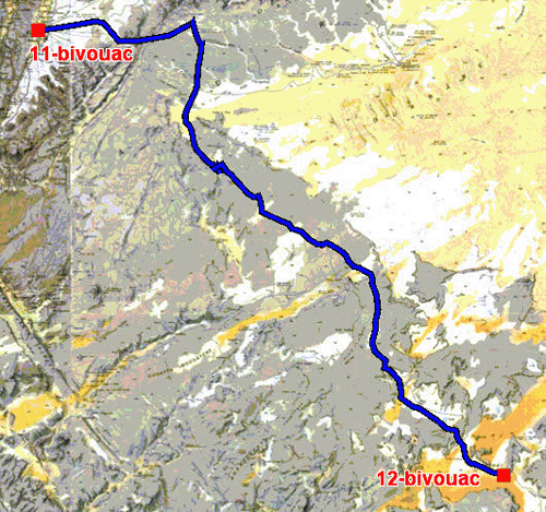
The GPS road tracklog
from Atar to Imechât Gandini H34
from 2019/12/09 au 2019/12/10
En route to Imechât
Tuesday, December 10 the departure from Atar was late due to the
opening hour of the banks after 9:00 and on standby of the reception
of rate of exchange! Finally we left this city without attraction
around 10:30 for a long trip varied of stones, sand and slalom
between the poop decks by keeping the cap. We arrived at the fallen
night, 18:30, close to the bivouac proposed by Gandini, H34. In did
Atar Ahmed took an assistance to cook and the tea?
|
| Lunch pause |
|
| Bivouac |
The GPS road tracklog
from Imechât to Matmâta via Tidjikja
from 2019/12/11 to 2019/12/11
En route vers Matmâta via Tidjikja
Wednesday, December 11 the day was announced radiant. Alas a light
wind shaving the ground rose then became a true sand wind darkening
the view as well of the car of Ahmed as of his traces on the ground.
We took the asphalt road from Atar to Tidjikja to make diesel fuel
then to go to the Guelta Matmâta in order to see, if possible,
crocodiles. The approach of Matmâta is on a very soft sand track. I
deflated the tires and progressed in 2nd reduced to approach the
site of bivouac.
|
| Matmâta |
click on the pic for opening the gallery
|
| Guelta Matmâta |
The GPS road tracklog
from Matmâta to Tmarfiga via Tidjikja
from 2019/12/12 to 2019/12/12
En route vers Tichitt via Tidjikja, Tmarfiga
Thursday, December 12 around 7:00 am we approached prudently and in
silence towards the edge of Guelta Matmâta to try to see crocodiles.
Alas we weren't lucky because none of them appeared during nearly
one hour of observation. We turned over to Tdjikja to supplement the
tanks of diesel fuel to reach Tichitt, Oualata and Néma at
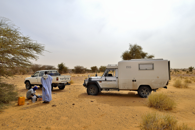
approximately 800 km of sand track. But Ahmed noted a mechanical
problem with his clutch whose repair in Tidjikja took three hours
during which I published the pages of my website and proceeded to
the monthly put-with-day of Windows. We left Tidjikja around 15:30
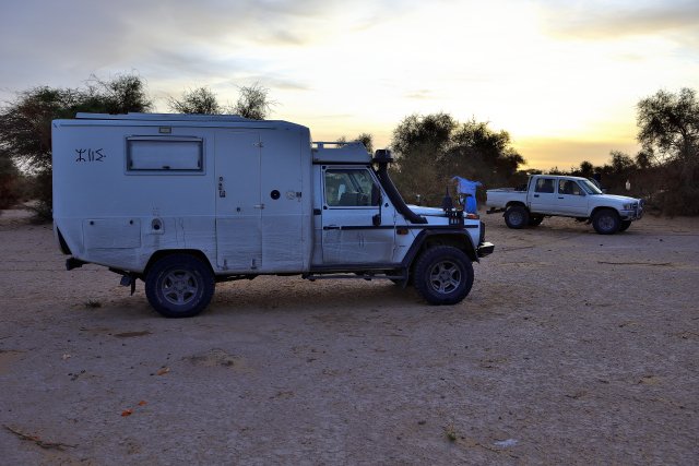
to bivouac at Tmarfiga close to the J1/11 waypoint by Gandini.
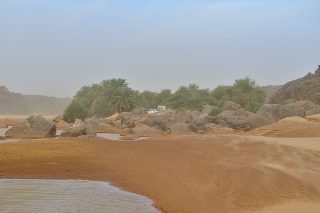
|
| Tmarfiga |
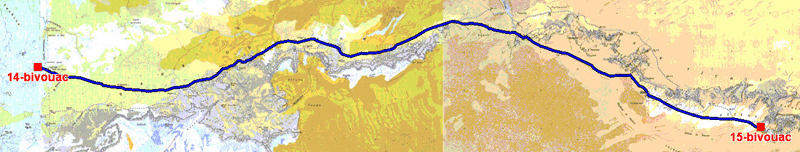
The GPS road tracklog
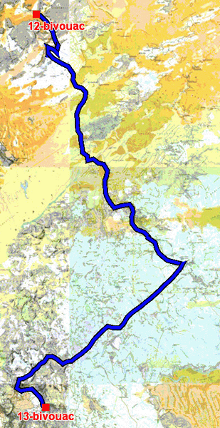
from Tmarfiga to Akjinjeir via Tichitt
dfrom 2019/12/13 to 2019/12/13
En route to Oualata via Tichitt, Akjinjeir
Friday, December 13 the departure was at sunrise. The track was
sandy and partially stony always in splendid landscapes. The lunch
pause was at the bottom of Djebel Zig close to a concreted well. We
had the visit of a shepherd who took the tea with us and proposing
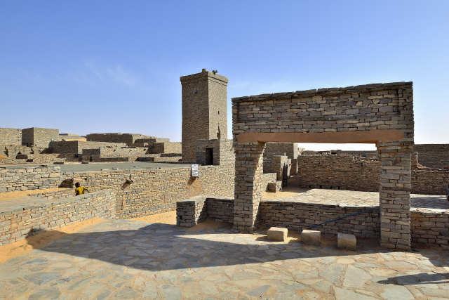
some unimportant objects to us. In Tichitt after the recording with
the gendarmerie we looked for a guide to visit the city and the
library. The mosque was observed the external, Friday is day of
prayer. Some manuscripts were presented to me by the conservative of
the museum, but this one is not of any interest. The service station
is out of use. The bivouac was established to approximately 35 km
from Tichitt close to the site of the Neolithic village of Akreijit,
waypoint J2/10 de Gandini.
click on the pic for opening the gallery
|
| Mosquee of Tichitt |
|
| Tmarfiga |
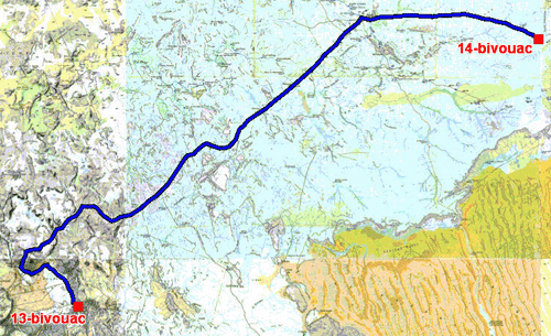
The GPS road tracklog
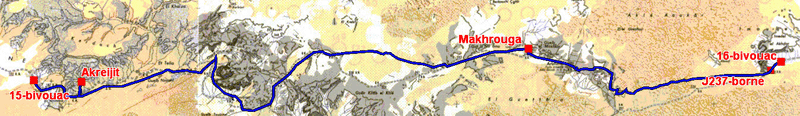
from Akjinjeir to bivouac
from 2019/12/14 to 2019/12/14
En route vers Oualata, 16-bivouac
Saturday, December 14 two sites were visited. The Neolithic village
of Akreijit at the top of the plateau dominates the arid plain. The
access is carried out by a cemented staircase without difficulty.
The village is composed of enclosures surrounded by dry stone walls
well installed of which one of them is a cemetery with raised
stones. At the bottom of the staircase a rectangular building
presents explanatory panels of the site. Many site antiques remain
quoted by Gandini which assigned time did not enable me to see. The
progression eastwards Oualata was carried out slowly in a sandy
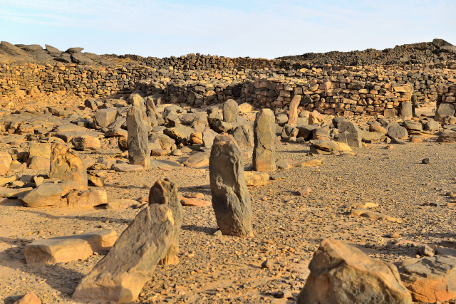
plain while slaloming between the cram-crams. The lunch pause
was at the Rocks of Makhrouga carved by erosion. The progression
continued always slowly eastwards on a not very visible track. The
bivouac is established shortly after a pillar, Gandini J2/37.
click on the pic for opening the gallery
|
| Akreijit neolithic town |
click on the pic for opening the gallery
|
| Makhrouga rocks |
|
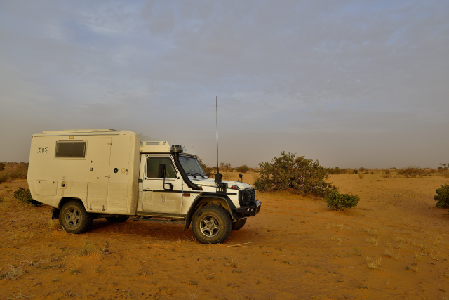
| Bivouac |
The GPS road tracklog
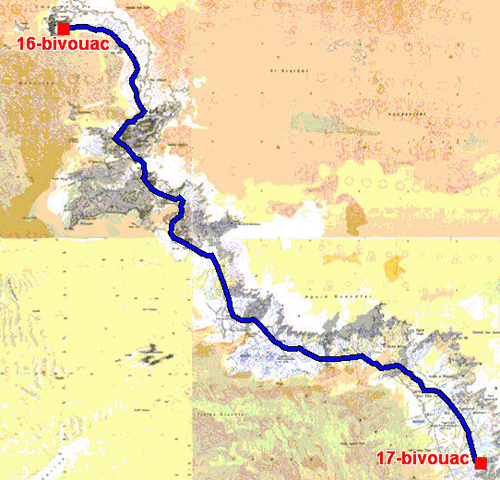
from bivouac to bivouac
dfrom 2019/12/15 to 2019/12/15
En route vers Oualata, 17-bivouac
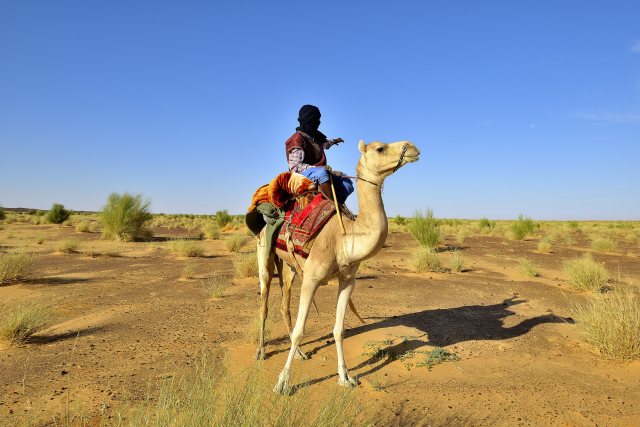
Sunday, December 15 was still a long day of very varied tracks sand,
stones, small dunes and meetings. A camel driver overlapping his
charger, a splendid dromedary, harnessed well and the face covered
against the wind and sand. Finally at the wells of Oujaf an immense
herd of camels (dromedaries) watered of which the water drawn from a
large pocket then winched with a cord by a camel. Of course I
was cordially accommodated by the nomads who offered a sparkling
milk bowl to me of she-camel. It is improper to ask for to the
nomads the number of animals of the herd; Ahmed estimated it at more
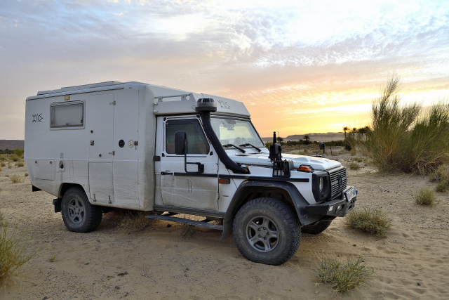
than 500 heads. Around 16:00 the bivouac was installed away from the
track of Oualata before the waypoint J2/67 de Gandini.
click on the pic for opening the gallery
|
| On the track to Oualata |
|
| Bivouac |