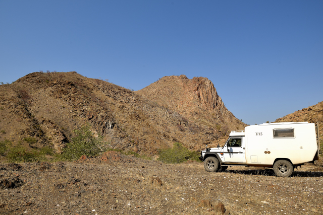
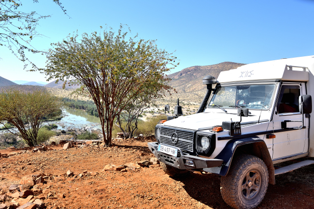
Red Drum / Rooidrom
On Monday, June 25 I started from Camp Synchro tardily to go back to
Orupembe. The day before the track which passes by MarienFlüss had
an inscription on a stone "Strictly No Access". I thus took the
track on left while going northwards cf the map above. This Monday
not seeing prohibition I took the southern/northern prohibited
track. These two tracks pass on both sides of an assembly line. The
landscapes are almost identical but different because that
prohibited has a ground much sandier and without vegetation in its
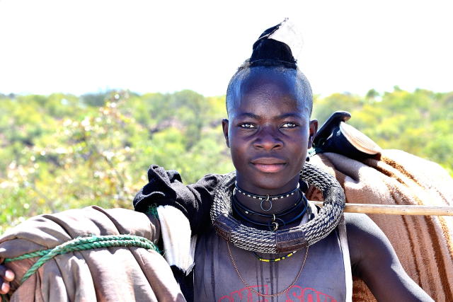
central part. I arrived at the beginning of afternoon at Rooidrom
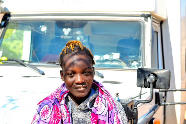
where I decided to bivouac. Little before I met three Himba-people
of which a young woman overlapping a donkey.
click on the pic for opening the gallery
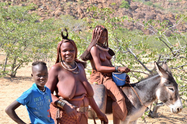
|
| Himba people |
The GPS road tracklog
from Red Drum on D3707 to Opuwo
from 2018/06/26 to 2018/06/26
On D3707 to Opuwo
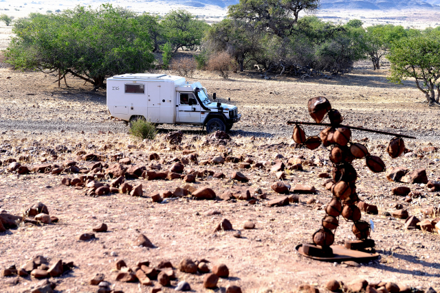
On Tuesday, June 26 I took the direction to Opuwo while passing
again through Orupembe. Obviously I crossed again the Joubert's
Pass. Little before Orupembe I met a stone Himba-man with his bundle
on the shoulder certainly in the direction of his village. Each one
of us had his lodging, him in his bundle and me in my camper, a
civilizational gap! Yesterday evening at the bivouac at Red Drum a
Himba shepherd had come to greet me. He was very tall and skeletal.
This evening I bivouac at the edge of the track in the mountains.
click on the pic for opening the gallery
|
| Himba man with a bundle on the track |
The GPS road tracklog
from D3707 to D3703 to Epupa
from 2018/06/27 to 2018/06/27
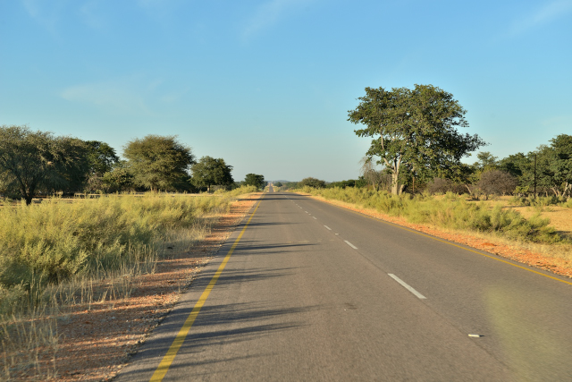
On D3703 to Epupa
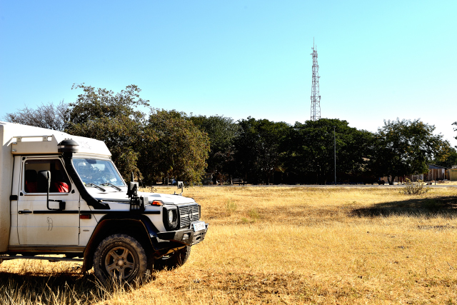
On Wednesday, June 27 I continued my way on D3707 up to Opuwo to
fill the tank with diesel, fuel with 50 ppm (low sulfur) and not
with 500ppm as in the remote villages as well as supply in food. I
benefitted from a good WiFi connection to publish the pages of my
website of which a video. The track up to Opuwo is better and worse
I put 4:00 to traverse the 118 km from the bivouac in the mountain
to the gas station at Opuwo. My done business I took again my road
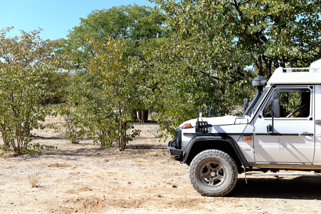
towards Epupa and I found a bivouac in nature in edge of track
hidden by shrubs.
 |
 |
| En route |
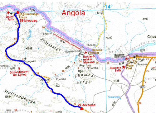
Le tracé GPS de la route
du bivouac à Epupa Falls View Point Campsite
du 2018/06/28 au 2018/06/28
Epupa Falls View Point Campsite
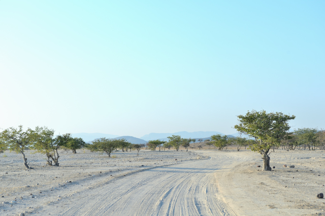
On Thursday, June 28 was still a great morning of travelling track
to reach Epupa Falls. The bird's eyes view from the campsite Epupa
Falls View Point is splendid, I decided to bivouac there. Tomorrow
the 163 km of track along Kunene River to go to Ruacana are
announced as very hard and rough, good night.
click on the pic for opening the gallery
|
| Landlady's Epupa Falls View Point Campsite |
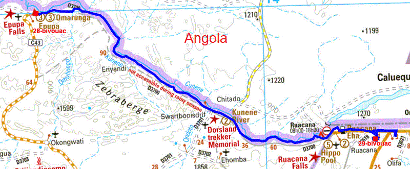
Le tracé GPS de la route
d'Epupa à Ruacana by D3700
du 2018/06/29 au 2018/06/30
Ruacana
On Saturday, June 30 I left the view of Epupa Falls with regrets to
make the D3700 track towards Ruacana along Kunene River natural
border with Angola bordered with mountains Angolan side. After a few
kilometers the track was often well travelling and quasi without
corrugated. Admittedly sometimes of the bleedings of the torrents
for rainy season towards Kunene treacherously cross the track
leaving rocks having been involved. I arrived at Ruacana at the
beginning of afternoon. The village is announced by T4A maps with a
gas station, yes; with a Atm, yes but out of work; with a
supermarket, yes but only a mini-market with cash! Information taken
to the staff the town of Oshifo away from approximately 20 km has
two banks with ATM's and a Shopride supermarket and other stores.
This city on T4A map does not have any icon of facilities. The
Ruacana only interest is to be at the bottom of pylon of
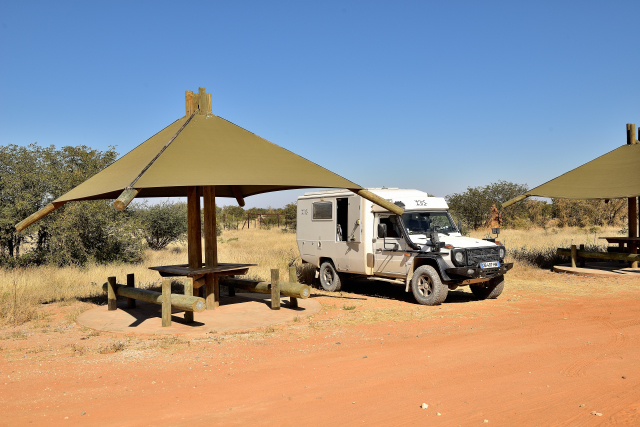
telecommunications offering a good speed of WiFi transfer. I
bivouacked on Friday evening and Saturdays behind the gas station.
click on the pic for opening the gallery
|
| Himba's shepherd |
Le tracé GPS de la route
de Ruacana à Etosha Olifantsrus
du 2018/07/01 au 2018/07/01
Etosha National Park, Olifantsrus camping
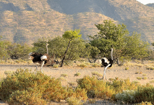
On Sunday, July 1 the C35 road towards Kamanjab with an asphalted
roadway of good quality quickly brought me to Galton Gate entered of
Etosha Natioanl Park where I paid the entry permit in the park for
seven days to track the wild life, so according to the receptionist,
I am lucky. The track of Etosha is rather rough. At the Olifantsrus
camp-site I reserved a site for 4 days as well as a two days site in
Numatoni camp-site with a return to Olifantsrus for the seventh day.
The altitude in the park is between 1100 and 1200 meters high.
 |
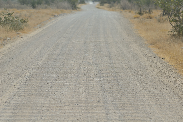 |
| En route C35 |
Etosha track |