Caledonspoort, LS, border between Lesotho and South Africa, ZA
Exit Lesotho, LS
At the border post in Caledonspoort, LS, I stopped with the injunction
of official who required my passport on which he applied the seal of
exit of Lesotho; I was not gotten out of my car.
Enter South Africa, ZA
After the bridge over the river, natural border between the two
countries, I left the car on the road to go to the counter to present my
passport to obtain the stamp of entry South Africa, neither customs
control nor of the carnet de passage en douane.
Glen Reenen Rest Camp
Approximately 40 kilometers further on I stopped in Clarens to fill the
tank with diesel fuel and food as well to publishing the pages of my
website. I carried on my way to Glen Reenen Rest Camp in the Golden Gate
NP to bivouac.
The GPS road tracklog
Go-back Glen Reenen-Bethlehem
from 2018/10/22 to 2018/10/22
Go-back Bethlehem
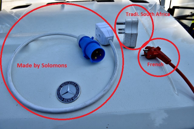
Back to South Africa I was again confronted with the problem of the blue
socket which replaces in the camp-sites the traditional socket of South
Africa. Information taken with the staff of the camp-site I went to
Bethlehem bought a compatible extension taken blue socket, traditional
socket, with the French socket. One to employ of Solomons Mica made with
kindness this extension. Admittedly some camp-sites, seldom, have the two
types of sockets. I had made 110 km return from the camp-site to Bethlehem.
Drakensberg & Ukhahlamba-Drakensberg Park
|
The GPS road tracklog
from Glen Reenen Rest Camp to Wagendrift Campsite
from 2018/10/23 to 2018/10/27
|
The GPS road tracklog
from Glen Reenen Rest Camp to Mahai Campsite
from 2018/10/23 to 2018/10/23
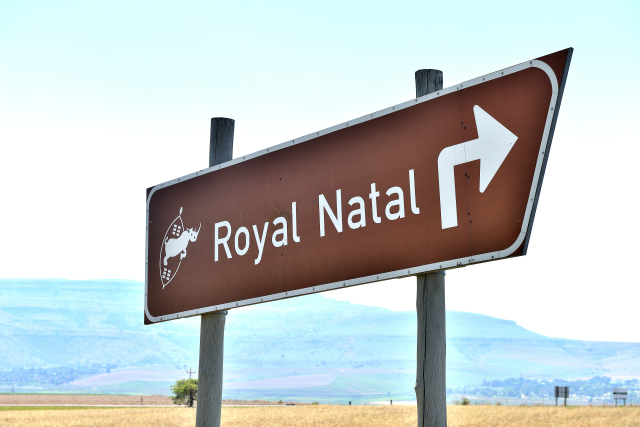
Royal Natal NP, Mahai Campsite
Tuesday, October 23 was the first of the seven incursions into
Drakensberg. The path of discovery is considered difficult, I abstained
from practicing it though altitude at the beginning of the camp-site is
only of 1421 meters.
click on the pic for opening the gallery
The GPS road tracklog
from Mahai Campsite to Cathedral Peak then Monk's Cowl
from 2018/10/24 to 2018/10/24
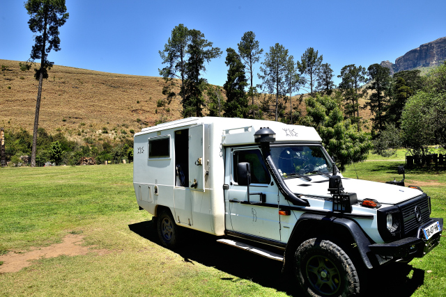
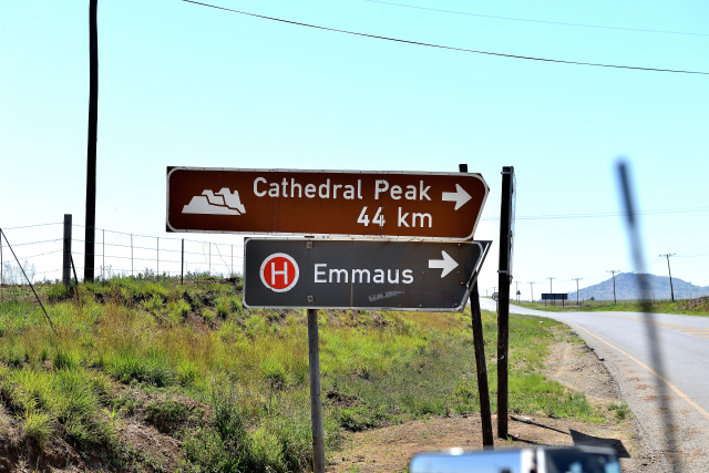
Cathedral Peak / Monk's Cowl
Wednesday, October 24 on the way to Cathedral Peak I stopped lengthily
in Bergville to consult my e-mail box, to publish the already written
pages of my website and to make a French press review. While arriving at
the entrance of park of Cathedral Peak I learned that the camp-site was
closed! I decided to carry on my way up to the next stage: Monk's Cowl
where I arrived around 13:00. The receptionist presented me the day
walks in the park. I decided to remain two nights to do one of them.
The bivouac is at 1482 meters of altitude.
click on the pic for opening the gallery
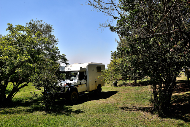
|
| Bivouac at Monk's Cowl |
The GPS road tracklog
from Monk's Cowl to Sphinx
from 2018/10/25 to 2018/10/25
Monk's Cowl /Sphinx trail
The day walk of the Sphinx is announced as 4 km return in +/- 3 Hours.
The GPS Garmin etrex Legend HCx gives 5.10 km which I carried out in
nearly 4 hours, stops photographs and snack understood. The rise was
painful and the very painful return. I can say that it is my last
hiking.
click on the pic for opening the gallery
The GPS road tracklog
from Monk's Cowl to Injisuthi Campsite
from 2018/10/26 to 2018/10/26
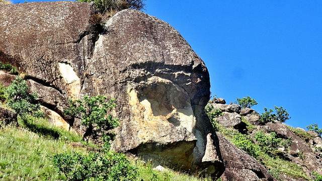
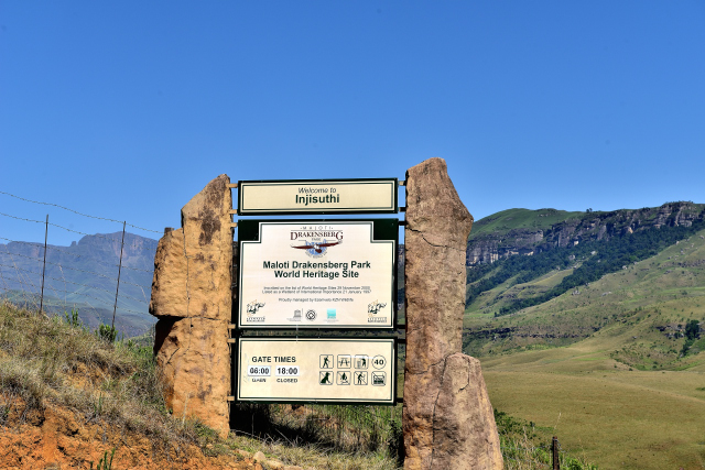
Injisuthi
Friday, October 26 I left Monk's Cowl to go to Injisuthi Campsite.
Around 5:45 a.m. I photographed the Sphinx lit by the low-angled
light of the rising sun.On the way I stopped at the Loskop village
to use the Wi-Fi connection which proved of good quality. The road
up to Injisuthi is partially a gravel road or a tarred road with
many pot-holes. It traverses a sumptuous valley with for horizon
the wall of Drakenberg.
click on the pic for opening the gallery
The GPS road tracklog
from Injisuthi Campsite to Wagendrift Campsite
from 2018/10/27 to 2018/10/27
Estcourt, Wagendrift Campsite
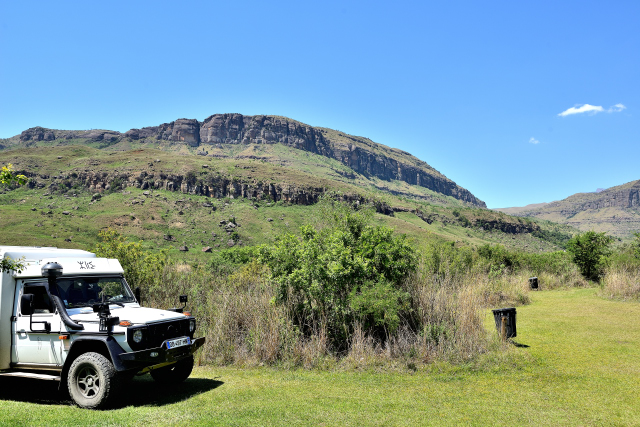
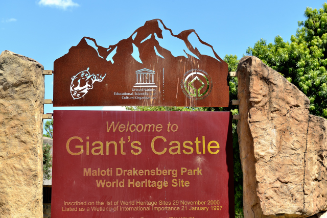
Saturday, October 27 I traversed the road up to Giant's Castle,
subjugated by the comments of Lonely-Planet. I knew that there was no
camp-ground on the site, but finally I went there! The landscape does
not have anything of bluffing. The site is known for its hiking and,…
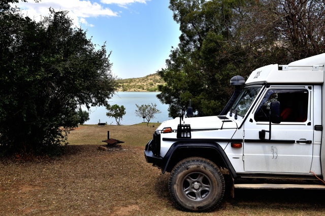
its country cottages for white South-Africans. I went my way to approach
Jo' burg. I stopped shortly after Estcourt in Wagendrift Camping at the
edge of the artificial lake.
click on the pic for opening the gallery
The GPS road tracklog
from Wagendrift Campsite to Parys
from 2018/10/28 to 2018/10/28
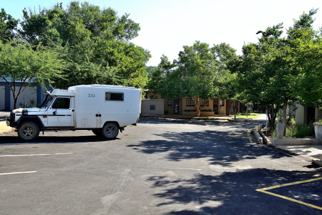
Parys, Egweni River Lodge
Sunday, October 28 was a long driving day to approach Jo' burg in the
North-East of Drakensberg between 1500 and 1760 meters of altitude to
finish in Parys with 1383 meters of altitude, given by GPS. After
Drakensberg the plateau around the 1400 meters is a whole either of
pasture or of food crop using as in Australia a watering by long
automobile gantries around a fixed point of water supply. In Parys
neither camp-ground nor wild camp prohibited by decree by the
municipality. I spent the night in Egweni River Lodge.