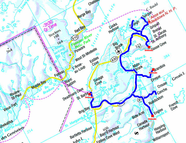
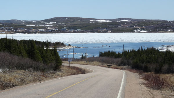
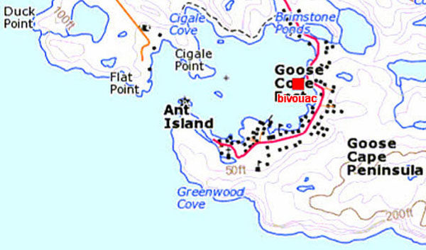
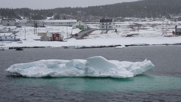
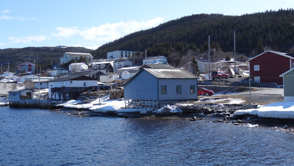
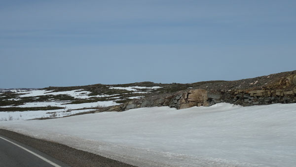
Goose Cove
On Monday, May 11 I left with regret the soft heat of Viking B&B
after a copious English breakfast. Some snowflakes fell whereas I
visited the tiny village of Raleigh then the Onion Cape. On the way
I stopped in St Antony for purchases of food before joining the
target of the day, Goose Cove where the only possible bivouac was
the pontoon above the ice what is not the ideal place to heat the
atmosphere. Though at the beginning of afternoon of the sun rays
bored the sealed sky timidly. The outside temperature was about 5°C.
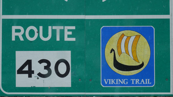 |
| Name of the route 430 |
 |
 |
| Raleigh village |
Cape Onion |
 |
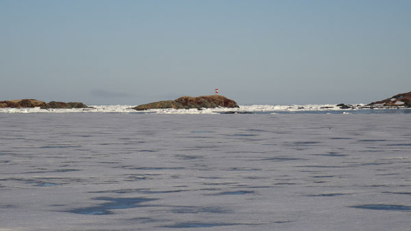 |
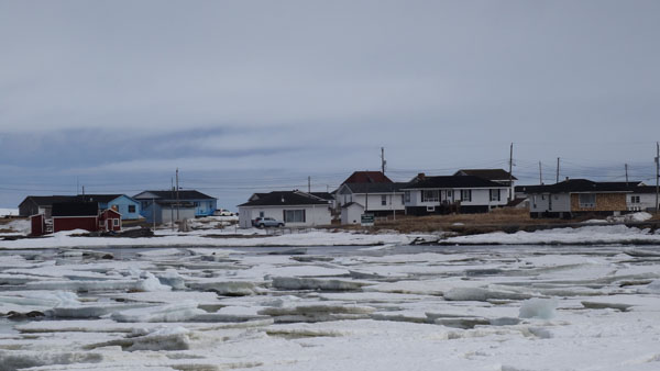
| Goose Cove & Ant Island at 6:30 am |
 |
 |
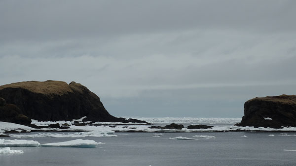
| Goose Cove at 6:30 am -3°C |
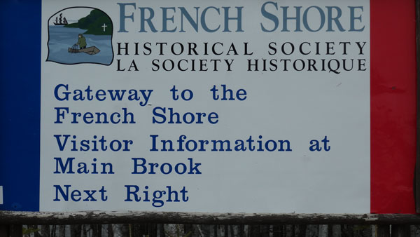
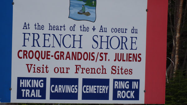
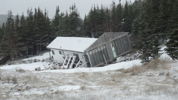
Grandios
In daybreak at 6:30 the outside temperature was -3°C and interior
0.0°C. Fortunately the sky was limpid and the sun had risen to heat
the atmosphere and the interior. The temperature went up quickly to
8°C. But as of 10:00 the sky was covered and become opaque. From
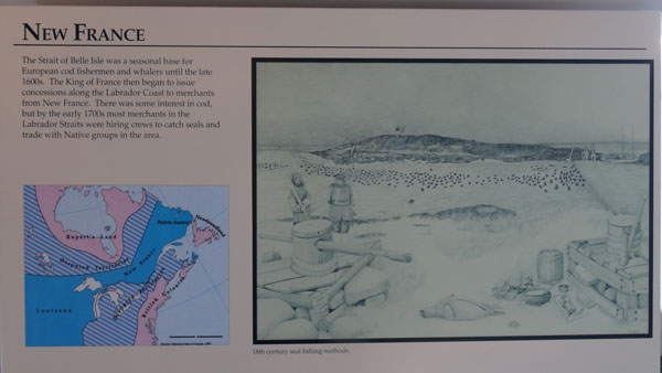
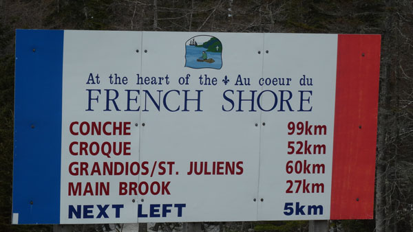
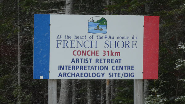
Goose Cove I was going to see and not to visit French Shore because
obviously all would be closed. From 16th century up to the beginning
of the 20th century French fishermen came on the Newfoundland coasts
for fishing cod. They were called the Newfoundland fishers. For
further information go to the site:
French Shore.
At this season the spot is bleak, without activity.
 |
 |
| Oui mais en saison, Ok but in season |
 |
 |
| |
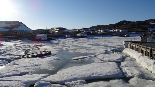
Bivouac |
 |
 |
| |
Grandios(e) ! |
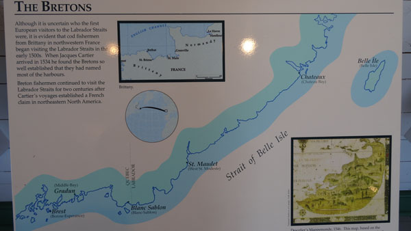
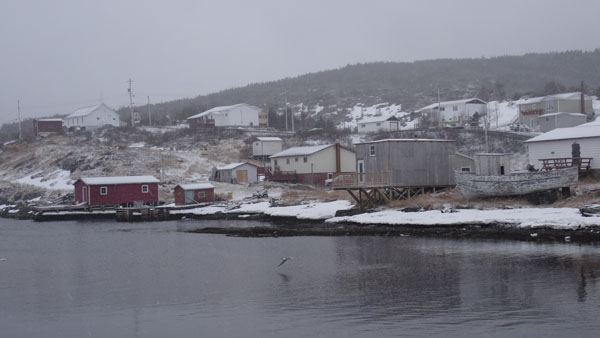
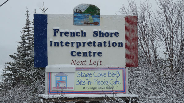
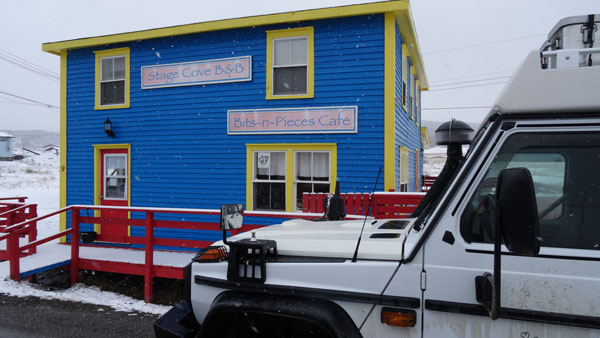
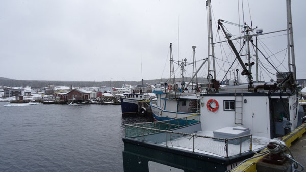
Conche
On Wednesday, May 13 I continued the exploration of French Shore with a
fine snowfall, the outside temperature was -1°C. I stopped in Conche on
the port to lunch because the Bits-n-Pieces Cafe famous for its Cod Cake
was obviously closed. I had gotten information with the post woman with
whom I exchanged information from France… but in English because
afterseveral tests on French Shore nobody does not speak French. The
French Newfoundland fishers were pared Island by the English at the time
of the treaty of Utrecht in 1713, even if they continued to come to fish
cod until 1904.
 |
 |
| |
Bivouac |
 |
| Bits-n-Pieces Cafe, closed |
 |
 |
| |
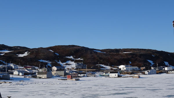
Harbour |
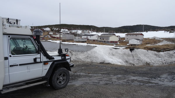
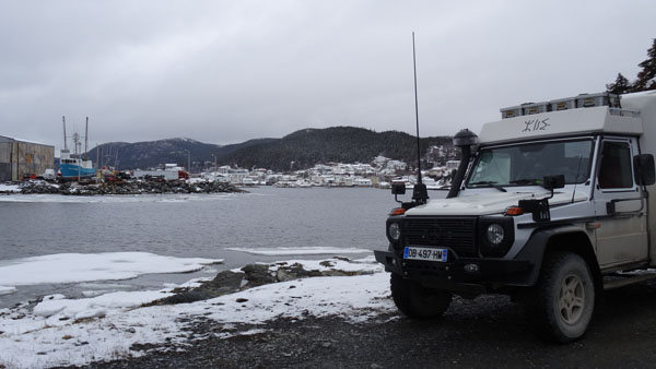
Englee
I carried on my way up to Roddickton then Englee thinking of finding
a Public Library with a Wifi connection, que nenni. I bivouacked on
Barred Island vis-a-vis a shipyard.
 |
| Bivouac |
 |
 |
| View from the hrabour |
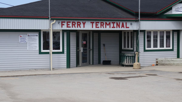
St. Barbe
On Thursday morning the sun was resplendent. Alas on Barred Island I
was leant behind a hill, my truck was in the shade. I could not
profit from the heat of the sun rays. In Englee and Roddickton I
looked for an accessible Wifi connection without password vainly,
nothing. I went my way until Plum Point, even report. In St. Barbe I
presented myself at the Ferry Terminal because I had booked a
reservation since Viking Village B&B. The employee made me
understand that the ticket will be delivered the following day
between 8:30 and 9:30 the departure being at 10:30. I had noted on
my cabin laptop that there is a Wifi connection with a password that
I asked and obtained, Hurrah. I remained on the carpark to make the
publications ofmy website.
 |
 |
| |
bivouac |
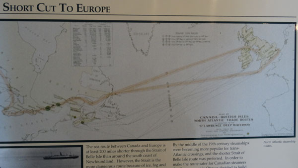
Labrador
Labrador, integrated into the province of Newfoundland, is called
“Big Land” with its 294.00 sq km extending to north to the Arctic
Circle. Before the European's arrival it was populated by Inuit and
Innu. From the Sixties the exploitation of the gold and iron ores
involved an economic boom. But nature remains in a primitive state;
this is why I decided to spend a few days there. The strait of
Belle-Isle of 28 km is ideal to go there in ferry from St Barbe to
Blanc-Sablon. Only the asphalt road from Blanc-Sablon to Red Bay is
open all the year. Then a unpaved route leads to Cartwright then to
Labrador City, but it was not my project. From Blanc-Sablon, Quebec,
a tarred road goes to the south towards Vieux-Fort, its current
terminus.
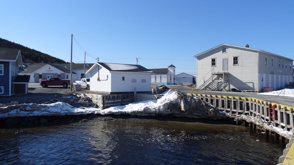
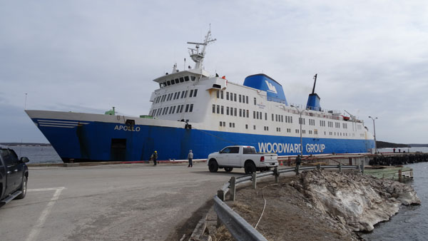
Blanc-Sablon
I was at 8:30 at the counter of the Ferry Terminal to withdraw my
ticket of loading. There was already a Anglo-Saxon queue people
discussing joyfully in an incomprehensible English pidgin. Then I
installed my truck on the dispatching platform which took place as
from 10:30. The ferry spent 1:25 to traverse the 28 km from St Barbe
to Blanc-Sablon.
 |
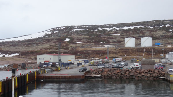 |
| Ferry at St. Barbe in Newfoundland |
Blanc-Sablon harbour, QC, in Labrador |
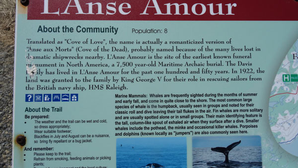
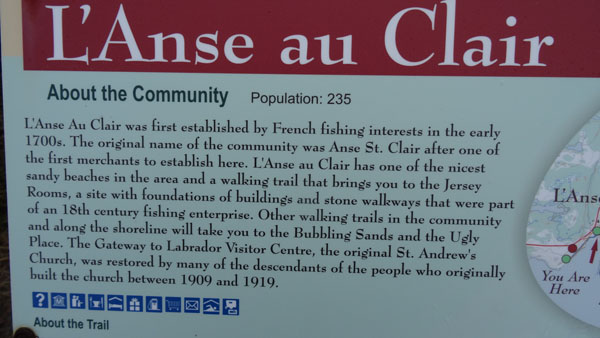
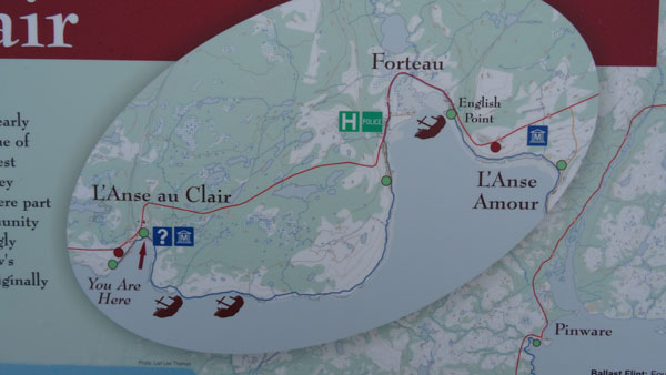
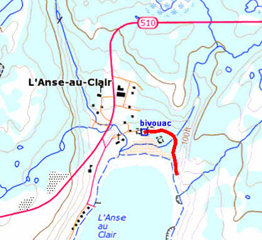
L'Anse au Clair
A light drizzle fell on arrival then disappeared at the beginning of
afternoon. The sun made a timid appearance around 15:00. The
landscape is hardly different from that of Newfoundland. I found a
bivouac close to the cemetery, place of rest, at the edge of the
sand beach where I can read an informative panel.
 |
 |
| Interpretation signpost |
 |
| Bivouac |
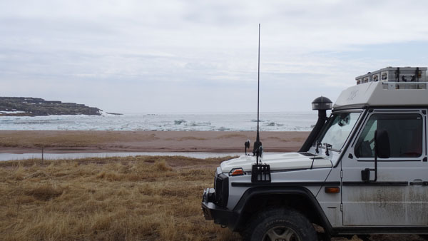
Trekking
On Saturday morning a light fog covered the landscape & the Strait
of Belle Isle, and the barometer was at sunny. I expected the
appearance of the sun around 10h00 to undertake an excursion on the
arrow path. Provided with a GPS eTrek, a walk sticks and by +1°C I
left on the path alas still covered with snow except the bridge
spanning a torrent. I walked on approximately 1.5 km then I gave up
in front of the difficulty in deep snow. Back to my truck I lunched
on the spot before going at the following point.
 |
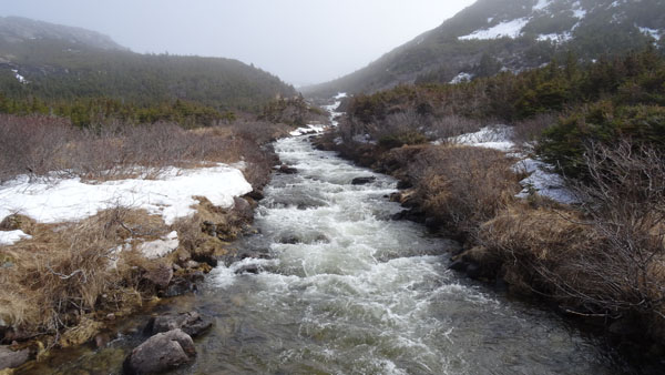 |
| Tracklog, 1.5 km |
Torrent |
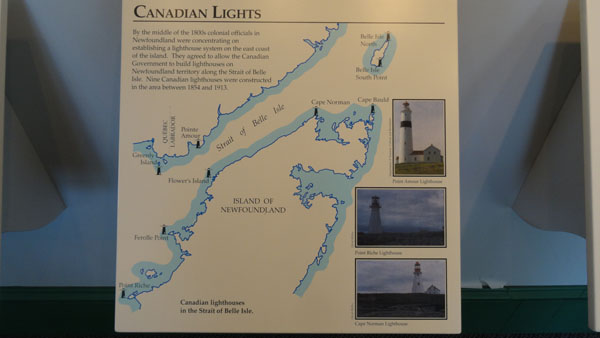
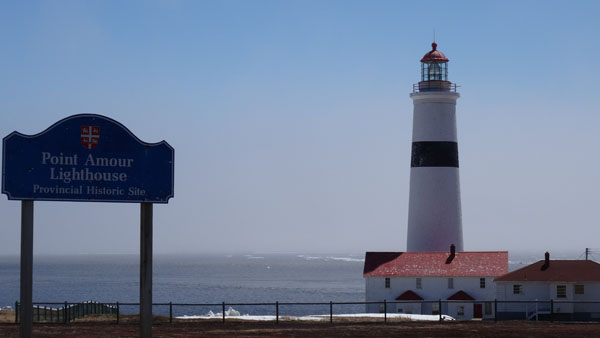
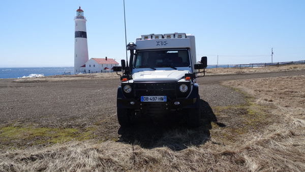
Point Amour Lighthouse
I had thrown my reserved on the Point Amour Lighthouse at
approximately 25 km, what happiness it was open and worth visiting. I
was accommodated by two charming ladies speaking the local Volapuk.
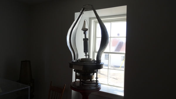
The house of the light keeper is transformed into museum with many
photographs of time and panels telling the story of Breton and
Basque fishermen on the Labrador coasts. The day was sunny and cold,
the temperature was +6°C at the zenith of the sun.
 |
 |
| |
Bivouac |
 |
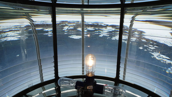 |
| The Light |
The Fresnel lens by Sautter & Lemonier Paris France |
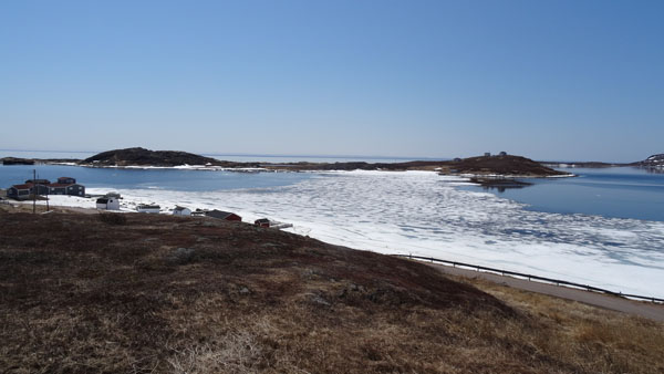
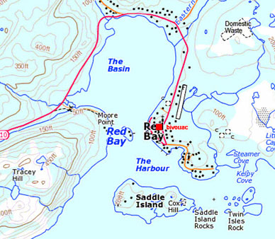
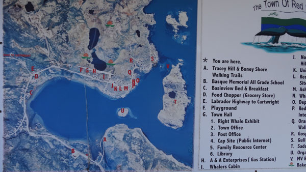
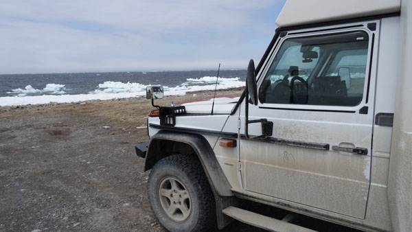
Red Bay
As the day before the fog extended its coat on the landscape, no
visibility. I expected the warming of the atmosphere with the
appearance of the sun around 10:00 to go on the road again. I spent
the time by reading again Les Misérables by Victor Hugo. The
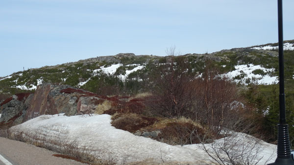
landscape quasi desert is made of brown & black rocks with a thin
vegetation. In this second fortnight of May the ground was still
partially covered with snow. Indeed in the night the temperature was
always negative. The village of Red Bay counts approximately 200
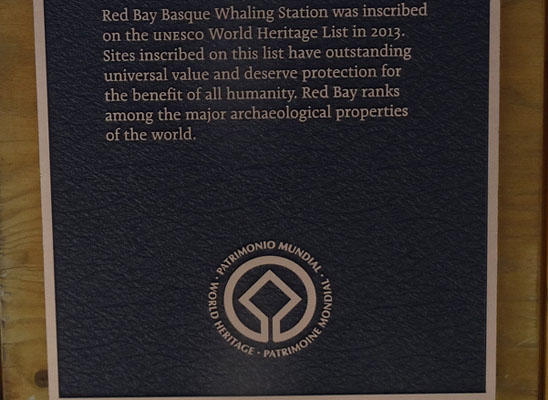
inhabitants. The bay closed by Saddle Island was a natural port for
the Basque hunters of whales int the 16th century. The asphalted
road finishes here. Alas the centers of interest are closed until
the beginning of June. I did not find a bivouac at the edge of
water, I had to satisfy me with a carpark between the church and the
center of exhibits, closed.
|
|
| Paysage du Labrador en mai 2015 |
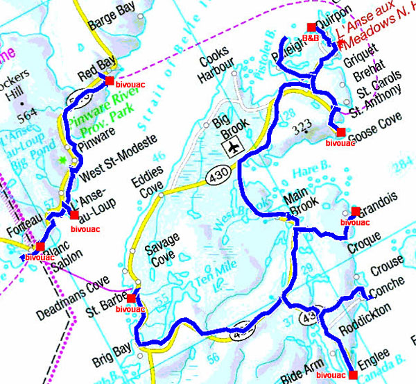
The GPS tacklog
from Blanc Sablon to Red Bay & back
from 2015/05/15 to 2015/05/19
in perspective with the tracklog in Newfoundland
L'Anse au Clair
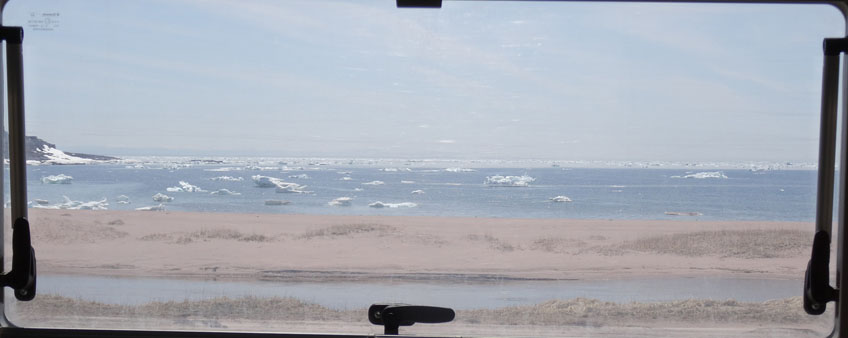
Monday, May 18 was the last day on coast-north-east of Labrador
vis-a-vis the Strait of Belle-Isle. Indeed the following day I took
again the ferry to St. Barbe. The day was sunny with a temperature
of 11°C. It remained still much of snow before the beginning of the
tourist season in June. I went as far as Blanc-Sablon to make supply
in food at Barney's where I got informed me to fill the truck tank
with water. Staff indicated to me Northern Light In at L'anse au
Clairt. Alas information was erroneous, to find water was a problem!
I took again the bivouac at the time of the arrival in Labrador on
May 15th.
 |
 |
| Last landscapes of Labrador |
 |
| View from the interior of the body |