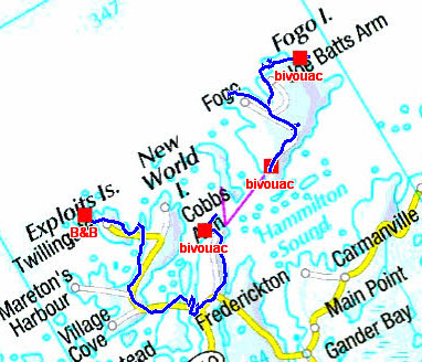
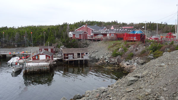
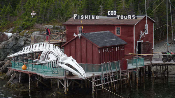
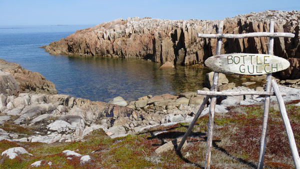
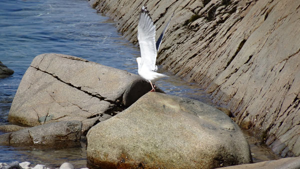
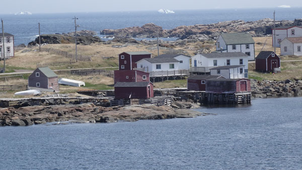
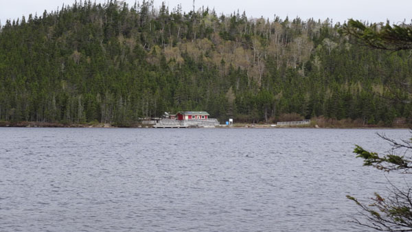
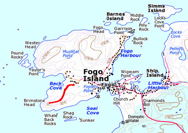
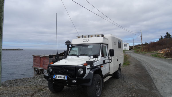
Stag Harbour
The week of Monday, May 25 started under happy auspices, no rain and
a temperature which reached 17°C, hurrah. Of course the day was
gloomy with an overcast sky, but finally the mercury of the
thermometer goes up. The target was to take a ferry for Fogo Island.
At breakfast in the B&B an young woman, alone so-British who knowing
I was French, nobody is perfect, gave me information which
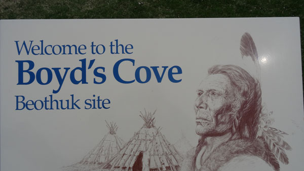
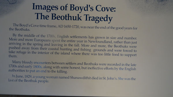
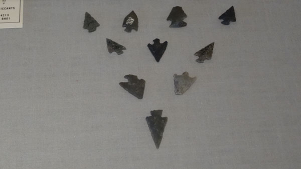
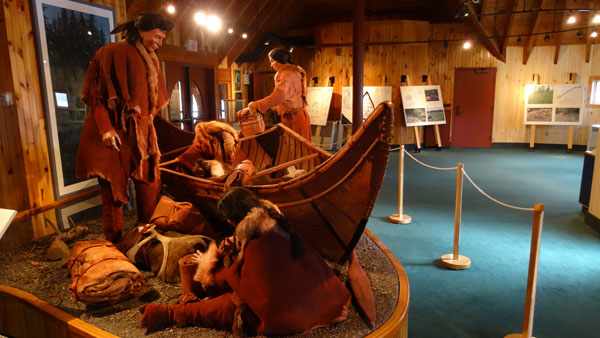
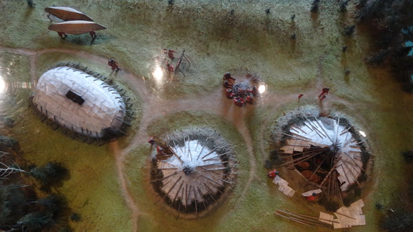
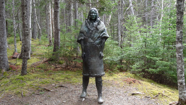
corroborated those of Lonely Planet. On the way I stopped in Boyd's
Cove where a Beothuk Interpretation Centre of a first nation
disappeared after the European invasion. A 3 km return track led to
the archeological site where the material of this tribe disappeared
in 1829 was found. I spent a pleasant moment pointing out to me the
first nations on the west coast in British Columbia visited in 2011,
already time passes so quickly. The ferry was late I approached Fogo
Island around 15:50 to bivouac at the edge of water at Stag Pond.
Boyd's Cove
 |
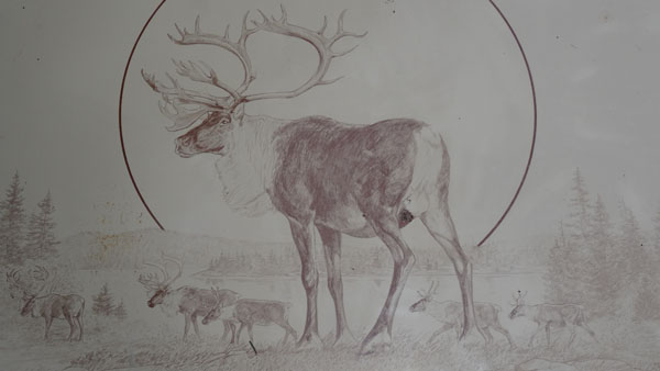 |
| Statue in memoriam |
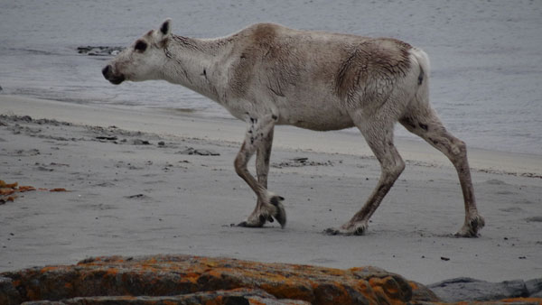
Caribou |
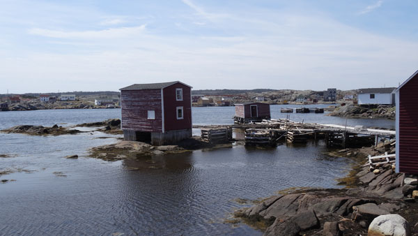
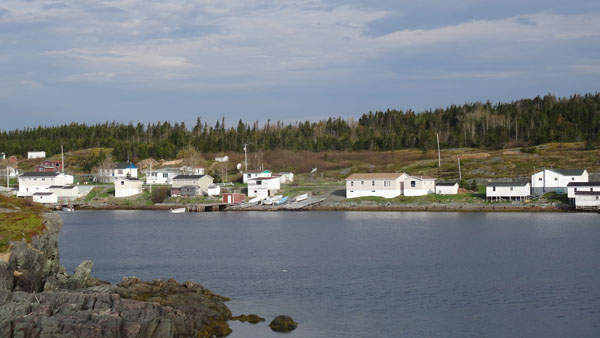
Tilting
on Tuesday morning May 26th the barometer was good shape for the
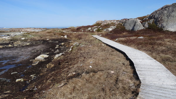
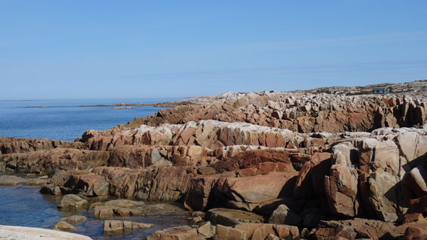
day. I hastened outward journey to Joe Batt's Arm to walk the
eponymous trail, in line. I was not disappointed. It skirted the
coast as well as the Iceberg Alley. Of course the ground was still
spongy but the spectacle is dramatic with sublime rock colors. I
made a selfie, but I did not have the rather long arm! After having
lunched on the spot I drove to Tilting to also walk a trail, in
loop. As well in Joe Batt's Arm as in Tilting I did not find Free
Wifi Hot spot. From 16:00 the sky was covered, tomorrow will be
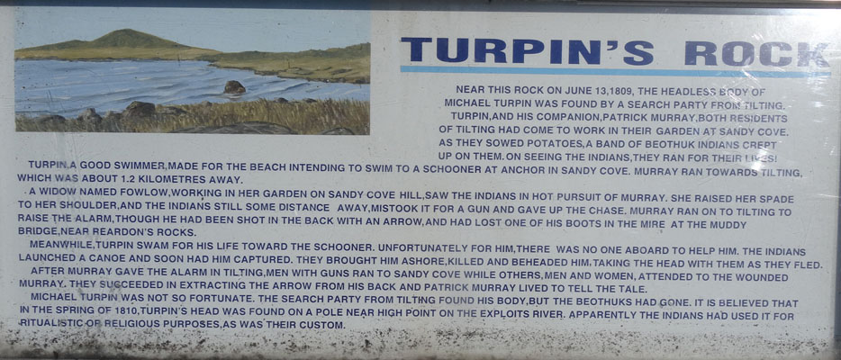
another day. I bivouacked in Sandy Cove, departure of Turpin's
trail.
Joe Batt's Point Trail
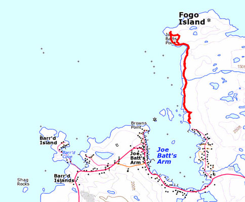
The trail GPS tracklog
on 2015/05/26 morning
5,13 km round trip
Turpin's Trail
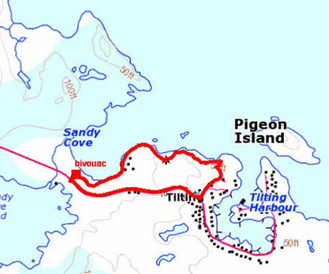
The trail GPS tracklog
don 2015/05/26 afetrnoon
3,65 km loop trip
 |
 |
| Iceberg Alley |
Fogo
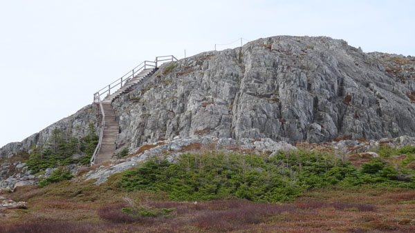
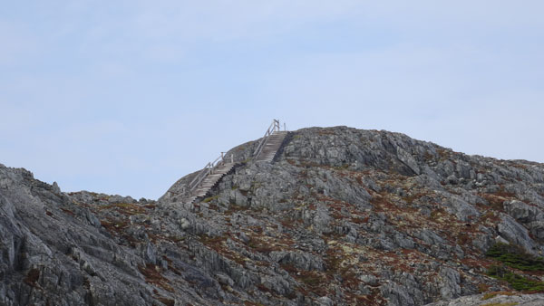
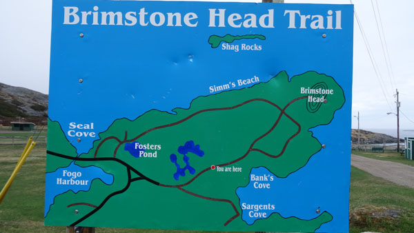
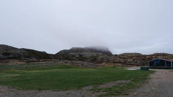
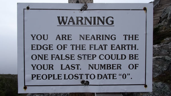
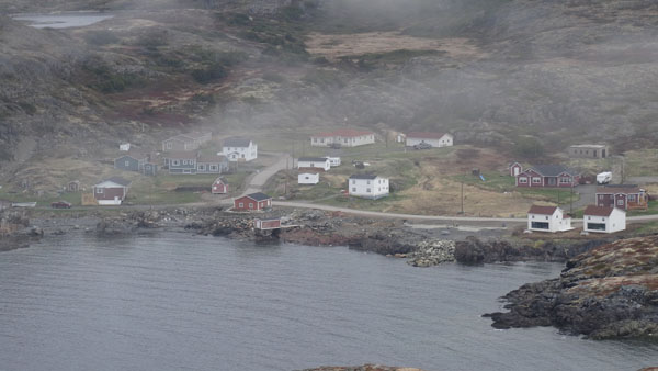
On Wednesday morning weather was misty. I went to Fogo,
administrative capital of the island, to carry out the rise of
Brimstone Heads. When I arrived there around 9:00 the top was still
in fog. Despite everything I undertook the rise primarily made up of
a sequence of staircases. At the top a map affirms that the earth is
flatt by giving the four corners! During the descent I noticed a
couple who maintained the campsite. I asked them for the password of
Wifi connection. They well readily gave it me as by authorizing me
to fill the tank with water. I lunched on the spot and decided to go
to take the ferry at Stag Harbor.
 |
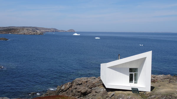
| Early morning at Sandy Cove |
Brimstone's Head Trail
The trail GPS tracklog
on 2015/05/27 mornig
1,63 km round trip
 |
 |
| Brimstone Head |
 |
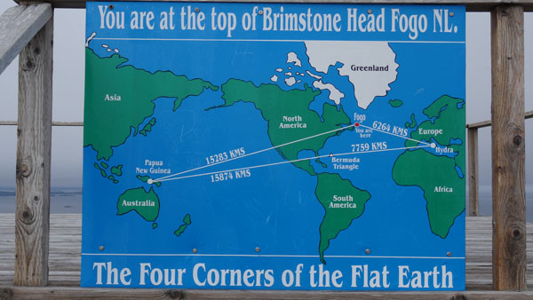 |
| Is the earth is round or flat? |
 |
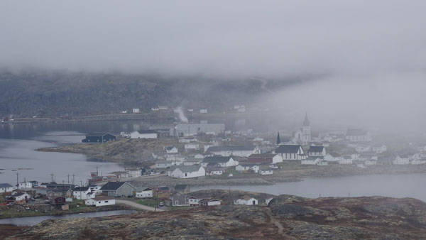 |
| Bird's eye view in fog |
Port Albert
While arriving the ferry was at quay I embarked without difficulty
for Farewell where I arrived around 14:40. I continued my road to
Port Albert hoping to find a bivouac at the edge of water. I was
satisfied with a small spot between the road and the abrupt of
water.
 |
 |
| Port Albert at early morning |
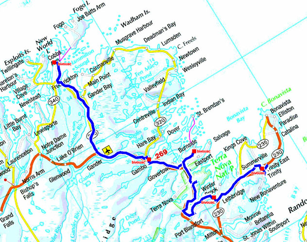
The GPS tacklog
from Port Albert to Trinity
from 2015/05/28 au 2015/05/31
Gambo South
Thursday, May 28 was a drining day without much interest to go to
Gander to do shopping, then to Gambo South to find a bivouac at the
edge of water. The temperature continued to climb to reach 20°C
under an overcast sky.
Sandringham
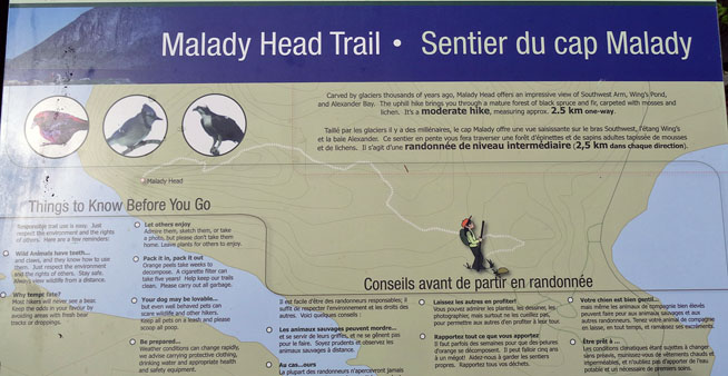
I had decided to carry out two excursions in the Terra Nova National
Park. On Friday, May 29 I went to Visitor Center to buy a license
for two days, to take the map of the park and to speak with French
speaking hostess. I recall that Canada is bilingual, at least in the
federal organizations. For the first day I had thrown my reserved on
Malady Head Trail promising a sumptuous view on the landscape. At
the beginning around 10:30 the sky was covered, then it got clear to
become again covered in the afternoon, climatic diagram since two
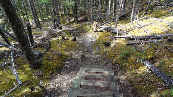
days. The Malady camp-site being closed I began walk as of the entry
to cross all the camp-site explaining the starting loop on the GPS
tracklog. The ground was still very wet because the snowmelt was
recent. Walk was rather painful by the many roots of the spruces
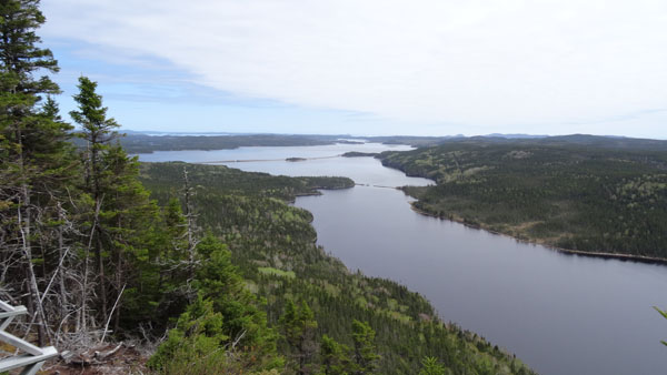
leveling in the spongy ground. The panorama from the top of Malady
Head is dramatic dominating Northeast Arm and Southwest Arm. The
hostess had promised to me to see bald eagles, emblem of the USA,
que nenni. I returned to my truck to lunch frugally before finding a
bivouac at the edge of water in Sandringham. Indeed for the pleasure
of the eyes and my rest during my administrative work I always
looked for to put the bay in front of me with a view on a water
spot. But alas often the idyllic places are called: Day uses area,
No overnight, No camping.
Malady Head Trail
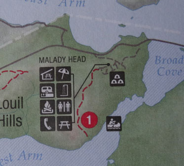 |
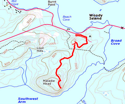 |
| Extract of the Terra Nova National Park map |
Trail GPS tracklog of 6,06 km on 2015/05/29 |
 |
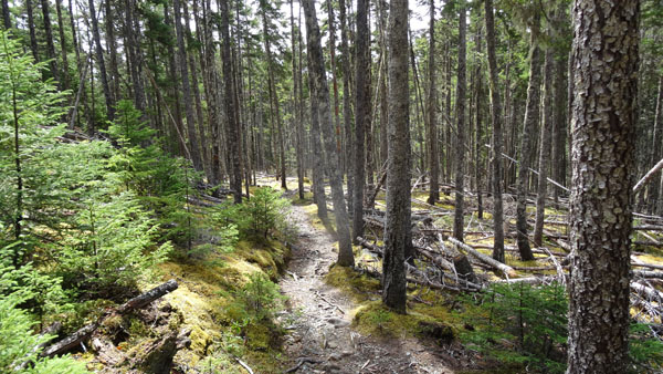 |
| Trail into spruce forest |
 |
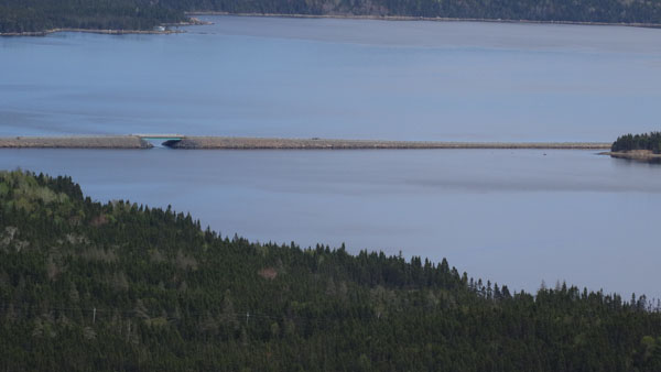 |
| Bird's eye view from Malady Head, causeway of road 310 to Sandringham |
 |
 |
| Broken causeway |
 |
| Malady Head view from the causeway to Sandringham |
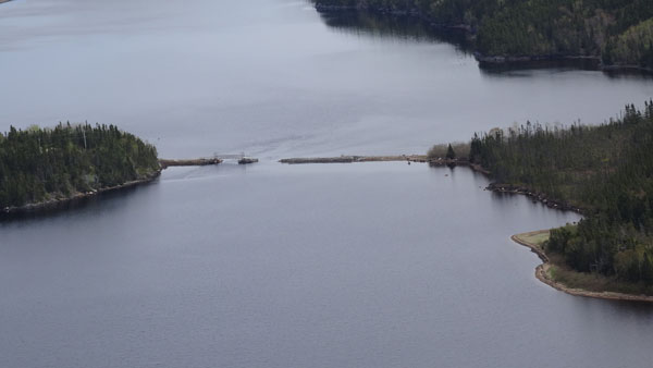
Goose Bay, Vey Point
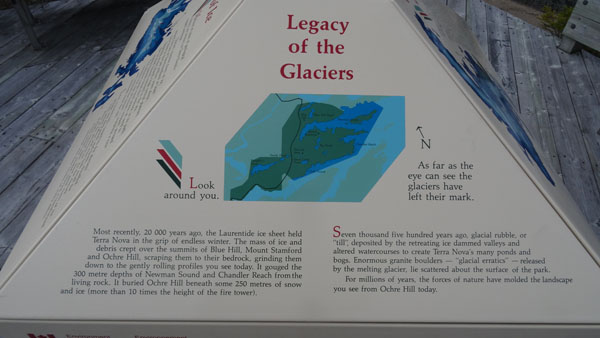
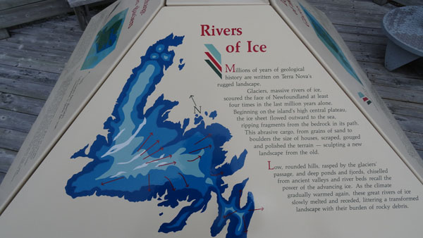
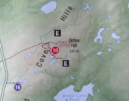
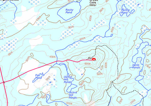
Thus on Saturday, May 30 I carried out the second excursion in Ocher
Hill. What disappointment it did not have there arrowing. I vainly
sought after the rise of two staircases the continuation of the
track which I did not find. I returned to my truck and I decided to
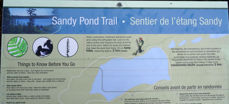
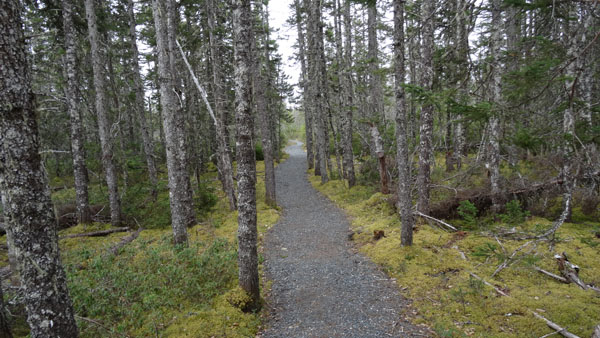
make the excursion of Sandy Cove around the eponymous pond. The
first part had wasted my pleasure of walking around the small lake
although there were interpretative panels. I looked for a bivouac
around Goose Bay after Musgravetown which I found not far from Vey
Point in the village vis-a-vis a damaged pontoon. Although the
barometer was not enthusiastic the day was beautiful with a
temperature of 19°C at the beginning of afternoon.
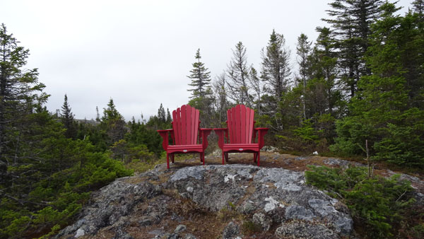
Ochre Hill trail
 |
 |
| GPS tracklog of the Ochre Hill trail about
3 km |
 |
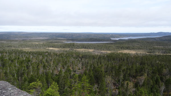 |
| Panorama |
Sandy Cove trail
 |
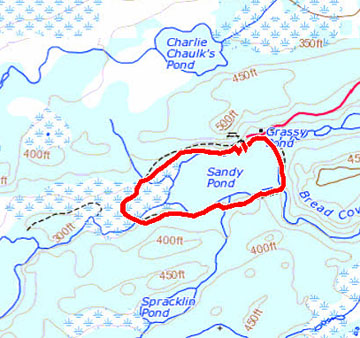 |
| GPS tracklog of the Sandy Cove trail about 5 km |
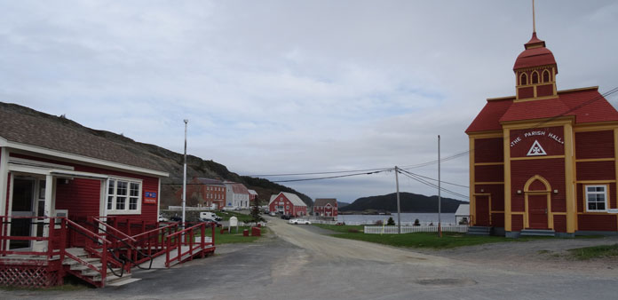
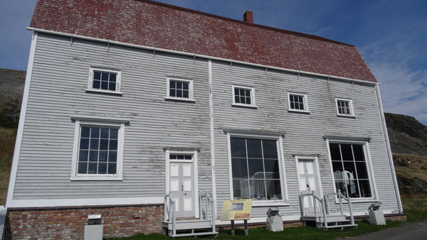
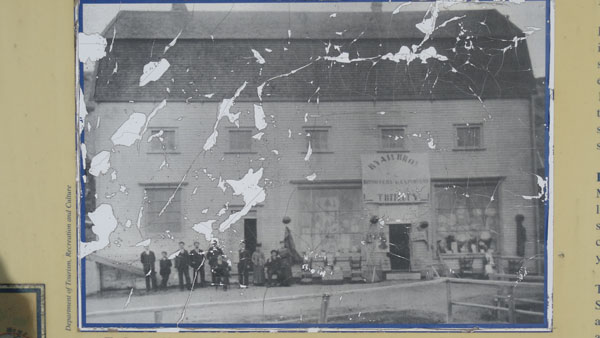
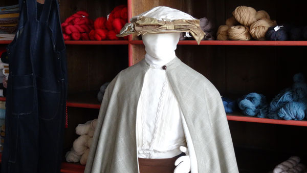
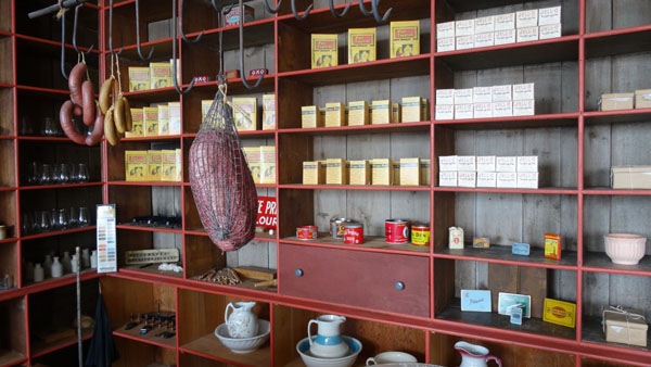
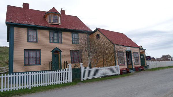
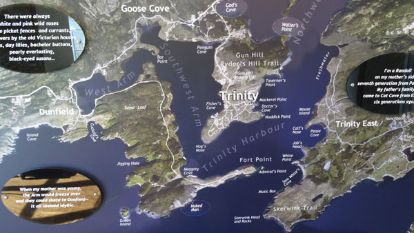
Trinity
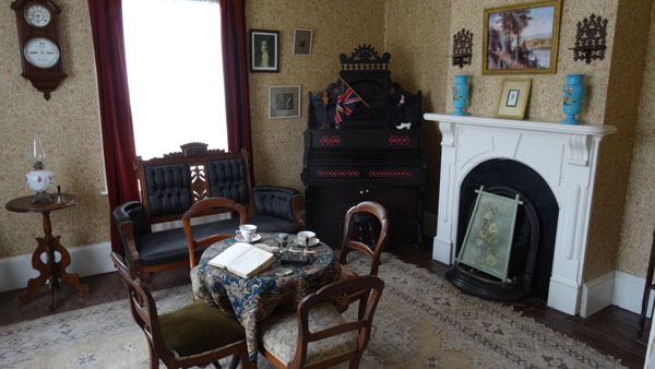
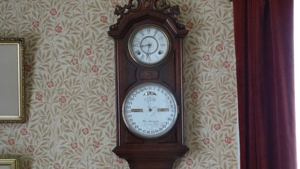
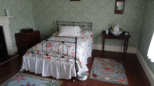
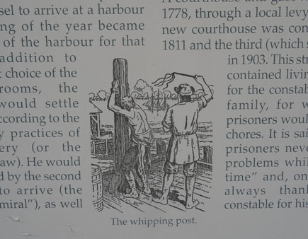
On Sunday, May 31 I visited the Trinity historic village. It is a
museum town where old residences were restored to testify to the
past. A dozen houses are thus worth visiting with including four
churches of various obediences. I gave a short outline of them. In
this last day of May some rare tourists under a sorrow sun in an icy
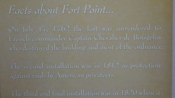
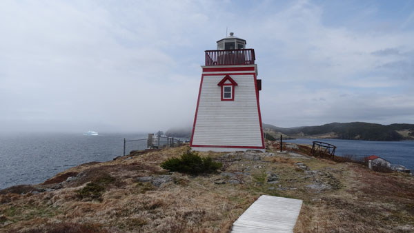
wind. I pushed up tol Fort Point where a lighthouse is on the site
of old Fort dominating the Icdeberg Alley. No Free Wifi in the
village to publish the pages of my website. But the Trailer Park
tightened me these arms both for the Internet access and drinking
water. I have a great disappointment. I had made a reservation in a
hotel at St Pierre and Miquelon several weeks ago but I had not
received any answer. I consulted the sites of reservation,
hotels.com, booking.com and expedia.com, without success. Moreover
the ferry for pedestrian only does not allow to make the outward
journey and return in one day… There is no bridge to sleep below and
it is still too cold during the night for my great age.
 |
Lester-Garland Mercantile Premises
Hiscok House
Fort (Admiral's) Point Lighthouse