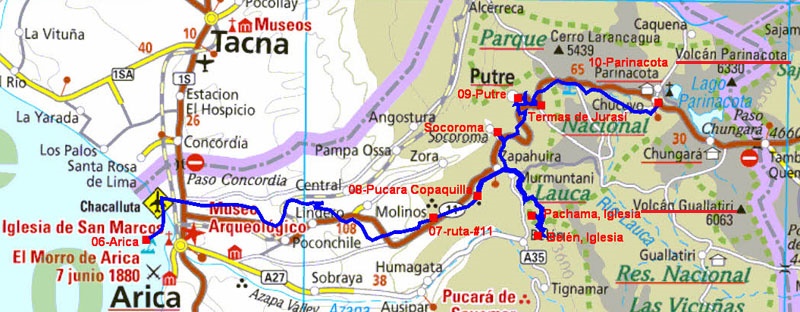
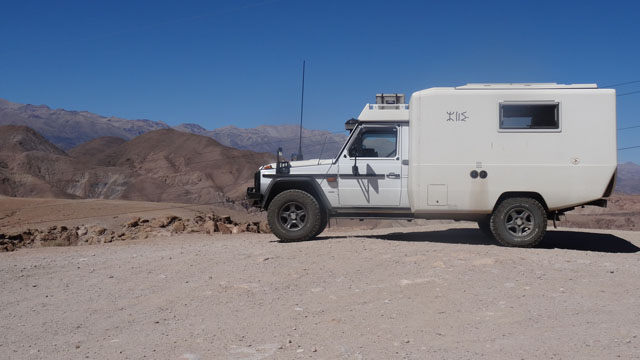
Arica
As all Mondays I was to publish the pages of my website. As of 7:00
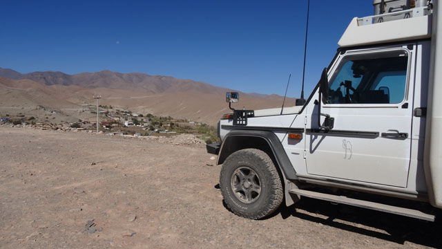
I parked my truck at the bottom of the hill. Then I sought with my
smartphone a Wifi connection which I found with chilegob opposite
Tourism Office. Alas this connection was slow and discontinuous. I
could not publish the entirety of the pictures because of the too
old battery. I returned to my truck to put it in load. Then while
waiting I visited the downtown area. I discovered that Gustavo
Eiffel had designed three buildings of which the Iglesia San Marcos,
under work of restoration. Around 10:30 I returned to the Tourist
office, open, which has another safety connection hardly more
effective. Finally around 11:30 the publication was finished!
Visite Arica, click the picture
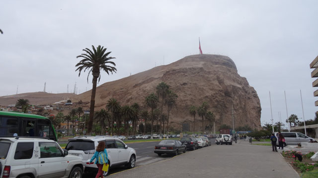
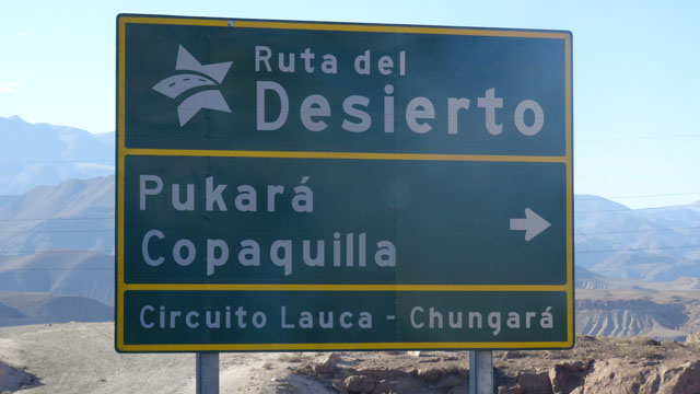
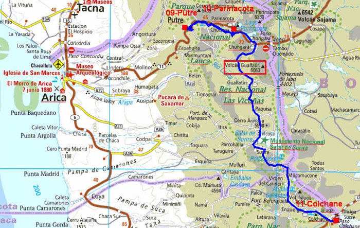
Ruta-#11
I could traverse the ruta-#11 towards Putre in very fertile Valle
Lluta. The road curves between dunes to go from 600 meters to +
2700m. Under work it becomes with a alternated way and with a very
long file of trucks in the direction of Bolivia. I stopped on a
parking area at 2786 m of altitude to acclimatize me before Putre at
+3500 Mr. the map below is extracted from the booklet of the Tourist
office. The red ruta-#11 is in the upper part from west to east.
On the road Ruta-#11, click the picture
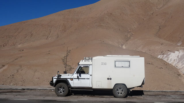
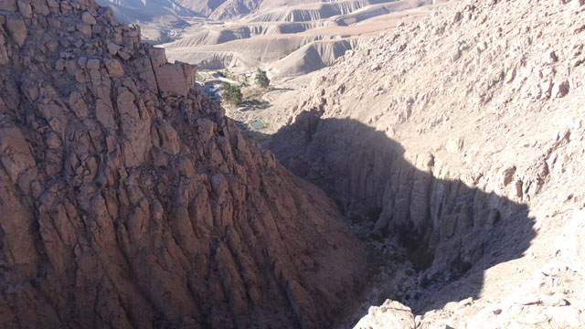
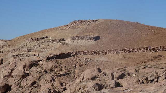
Pucara Copaquilla
When I left my bivouac the outside temperature was of +5°C, brrr! I
stopped a few kilometers further to see Pucara Copaquilla which is a
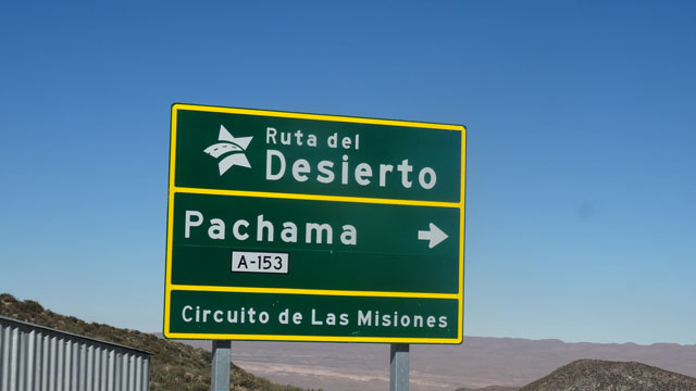
gigantic crack created by the gullying of water. Then I forked on
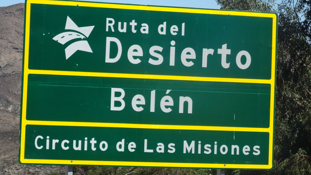
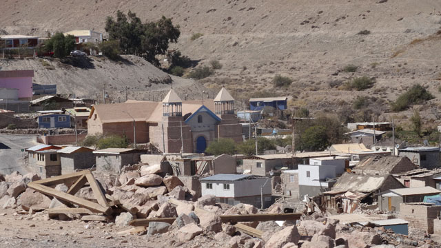
the ruta-#31 to go to Pachama and Belén where missions from the 17th
century are. Iglesia de Pachama was under restoration. Inside the
painters worked to give again colors to the frescos very damaged by
time. In Belén it has two churches of which only one is worth
visiting by seeking the person who has the key! But nothing
extraordinary compared to the beauty frescos of Pachama. After
having lunch on the spot I decided to return to Pucara Copaquilla to
bivouac in front of the imposing spectacle at 3103 meters of
altitude to continue my acclimatization.
Iglesia de Pachama, click the picture
Iglesia de Belén, click the picture
|
| Bivouac, Pucara Copaquilla |
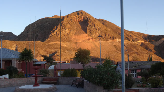
Putre
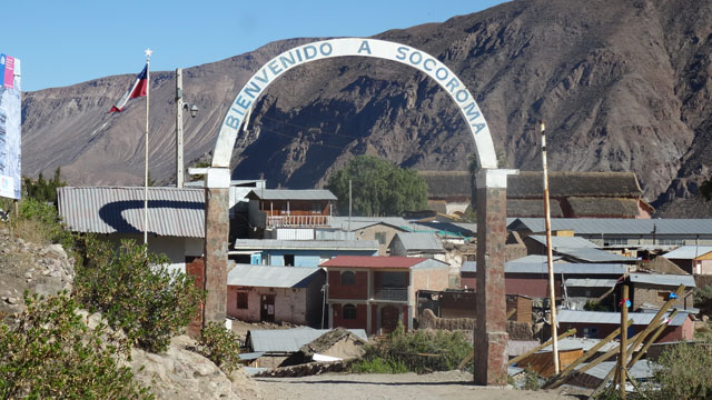
On Wednesday, August 10th, my birthday, I visited Iglesia de
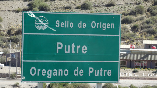
Socoroma, well restored. Then I went to Putre to visit its Iglesia,
alas closed. In compensation I made it tour around the Plaza without
much interest. I bivouacked on the spot at 3530 m of altitude and
inclined. I continued to go up in altitude.
Iglesia de Socoroma, click the picture
Iglesia de Putre, click the picture
|
| Sunset, bivouac |
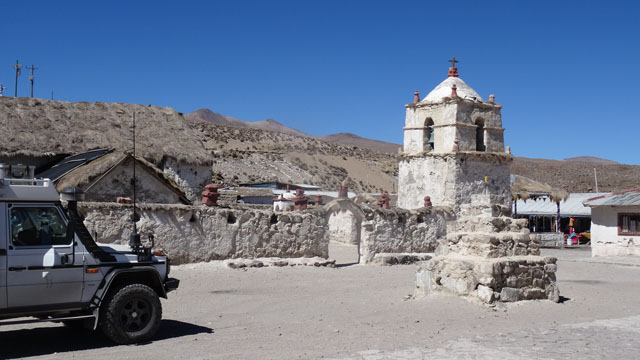
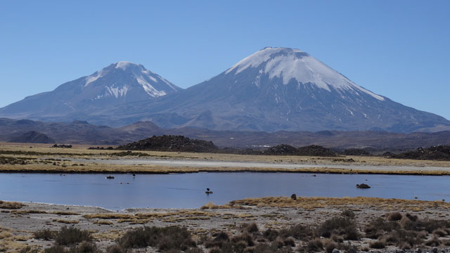
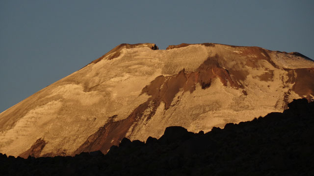
Parinacota
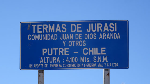
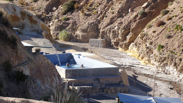
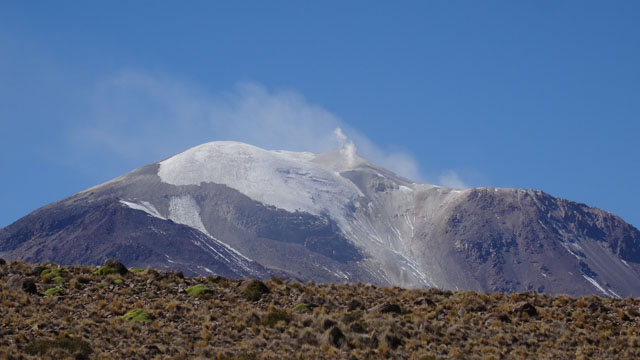
On Thursday, August 11th I left Putre without regrets. After a few
kilometers I turned right to go to Termas Jurasi to take a hot bath.
Four truck drivers played about already joyfully in the tank. Rested I
continued up to Parinacota under the guard of the Parinacota Volcano
culminating at 6350m according to Lonely Planet. By comparing the
pictures of August 2002 and August 2016 I noted that climate warming had
made damage. Snow covers nothing any more that the summit part showing
of the falls of plate-fronts. As in the preceding villages the church
was closed and here broken roofs. Except for two small shops for
tourists the village was deserted of inhabitant. I bivouacked close to
the church at 4435m of altitude.
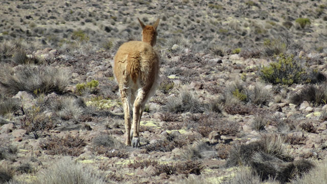 |
 |
| Vicuna |
Parinacota Volcano |
Iglesia de Parinacota, click thr picture
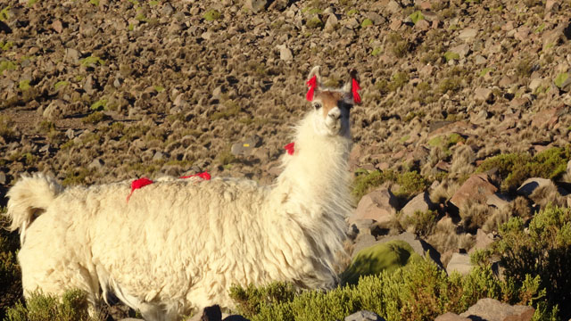 |
 |
| Lama |
Parinacota Volcano, sunset |
The GPS road tracklog
from Parinacota to Colchane
from 2016/08/12 to 2016/08/12
Colchane
On Friday, August 12th was part of pleasure on the track #A95 which
leaves on the right of the ruta#11 just after the police checks
before the border with Bolivia and which ends in Colchane on the
ruta #15 also going to Bolivia. But before I had to go up a file of
trucks on two kilometers going to Bolivia expecting the police
checks. This part was not a pure pleasure because the truck drivers
did not give me any present. At the beginning of the track #A95 up
to Salar de Surire the Guallatiri volcano is omnipresent with its
summit fumaroles. The track traverses the altiplano between 4000 and
4500 meters of altitude. In Guallatire I got information near a
guard of the park who assure me that the night temperature was from
approximately -14 to -16°C the diurnal temperature did not exceed
+14°C. All the crossed villages were deserted of inhabitant in this
winter season and the closed churches. I decided to go up to
Colchane at 3725 m of altitude to have a more mild night
temperature. Salar de Surire is registered with the inheritance of
Chile as National Monument. What does not prevent that it is
abundantly exploited. The trucks leave fallow a sequence number on
their windscreen; I read a figure higher than 200! On the altiplano
the hordes of vicunas (vicunas) are numerous. The last visited
church was that of Isluga as at the time of my journey 14 years ago.
I bivouacked on the plaza of Colchane.
On ruta-#A95, click the picture
The GPS road tracklog
from Colchane à Ruta-#24
from 2016/08/13 to 2016/08/14
Mamiña
In the day break in Colchane at 3725m of altitude the temperature
under my truck given by the thermometer of "G" was of -10°C. The
temperature in the cell was of 0°C with a moisture of 3% given by
the Oregon weather station. The Webasto heating spent one hour to go
up the temperature at +12°C. To facilitate the starting of my truck
I preheated the engine and the cabin with Eberspächer the optional
heater of "G" during half an hour.
The ruta-#15 from Colchane to
Huara has very a good quality of roadway. It curves up to 4300 m of
altitude in a desert landscape of great beauty under the morning
sun. Contrary to the ruta-#11 traffic towards the Bolivian border
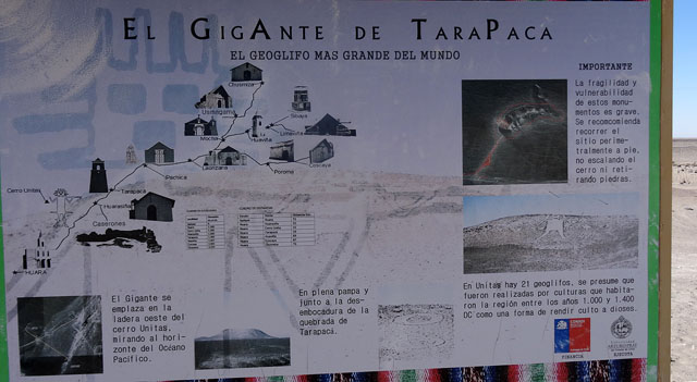
was very sparse. Halfway between Taracapa and Huara a hill to 2 km
is the archeological site of El Gigante de Atacama. The
interpretative panels are very didactic. On the advice by
Lonely-Planet, alas once again dithyrambic, I made the detour to
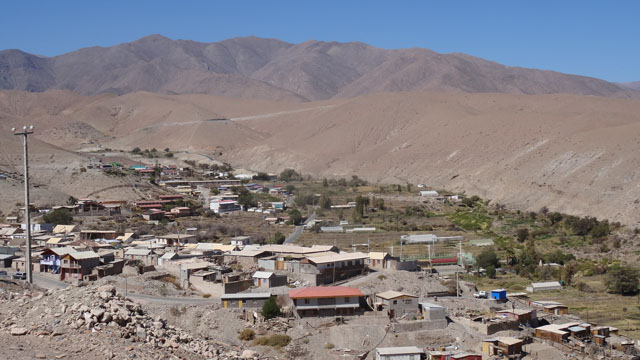
visit Mamiña, pouf! I found a splendid bivouac at the top of a hill.
El Gigante, click the picture
Ruta-#14
On Sunday, August 14th I left the hill dominating Mamiña to go down
towards the ruta-#5, Panamericana. At the crossroads between
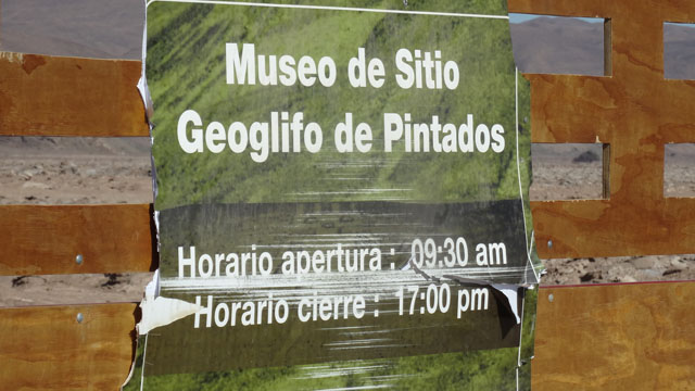
Panamericana and ruta-#A75 towards Pica I visited the Geoglifos on
the hillside of Cerros Pintados. The museum presents interpretative
panels reproduced by the gallery below as well as some Geoglifos
pictures. I met a young French travelling into Chile. We spoke
lengthily about my trip around the world. I made the dead end of the
visit of Pica disappointed by Mamiña to go to Calama while
bivouacking again in the desert.
En route, Panamericana, click the pictyure
Geoglifos Cerros Pintados, click the picture