-- Leh, Pangong-Tso & Tso-Moriri
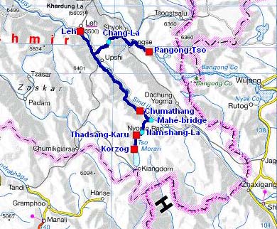
The road tracklog
from Leh to Pangong-Tso & Tso-Moriri
from 28/08 to 02/09/2007
My first visit in Leh goes back to 1992, the last in August 2007. Of course into 15 years the village, stage of trekkers and hikers, changed much. This village of Ladakhis porters and Tibetans shopkeepers became a tourist centre with souvenir shops and restaurants, traps for tourists.
The 28/08 I put nearly seven hours to drive the 155 kilometres from Leh to Pangong-Tso. From Kharu the road crosses the Chang La at 5320m high according to the map and 5392m high according to the GPS. It is asphalted up to the lake with some much degraded sections. There too throughout the trip, the landscapes are dramatic. I established my bivouac at the edge of the lake for two nights at 4274m high.
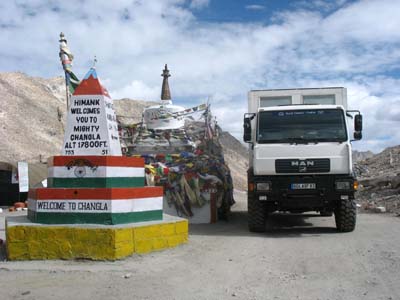
Chang-La
le 28/08/2007
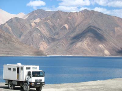
Pangong-Tso
le 29/08/2007
The 30/08 I left the banks of Pangong-Tso to go again to Kharu by crossing the Chang-La whose GPS altitude had not changed. In Upshi on the road from Leh to Manali I chose the road along Indus River to the the bridge of Mahé to join Tso-Moriri. The valley of Indus is also picturesque only that one of Skardu road in Pakistan. Thus I had followed the stream of Indus from Besham up to Ghowari in Pakistan and from Khalatse up to Mahé in Ladakh. It is the case to recall that Indus, mythical river as well for the Hindus as for the Buddhists, rises in Tibet at the foot of the Mount Kailash, the cosmic mountain of Hindu mythology residence of Shiva and Parvati.
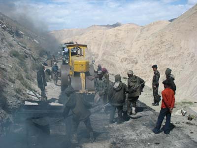
Work in progress
the 30/08/2007
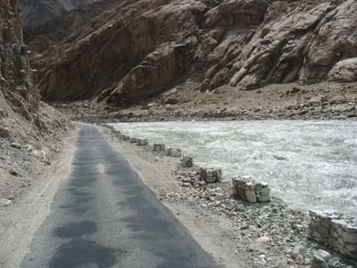
Road along Indus River
the 30/08/2007
The following day the road to the Mahé Bridge is in good condition, without hole or bump.
The bridge being crossed the road is recent up to the pass of Namshang-La. The
maps give it for an altitude of 4800 meters, the Russian map of 4888 meters
and the GPS of 4854 meters. After the pass the road up to Korzog at the edge
of Tso-Moriri is a track similar to those in Mongolia.
The banks of the lake being prohibited to camp-site, I establish my
bivouac at the entry of Korzog at an GPS altitude of 4560 meters high.
The environment was not to my satisfaction, I decided to leave the following day.
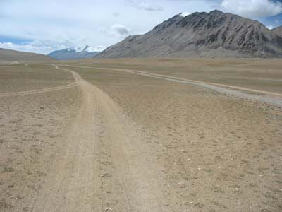
Piste vers Korzog
le 31/08/2007
The 01/09 having left Korzog I stopped at the edge of the Thadsang-Karu lake close to a camp of Tibetan nomads who accommodated me by offering a cup of tea. There was also the tent of a Lama of the Kargyupa-Karmapa sect from the monastery of Rumtek in Sikkim. The Karmapa is the third person in the Tibetan religious hierarchy after the Dalai Lama and the Panchen Lama. He lives in exile in Dharamsala.
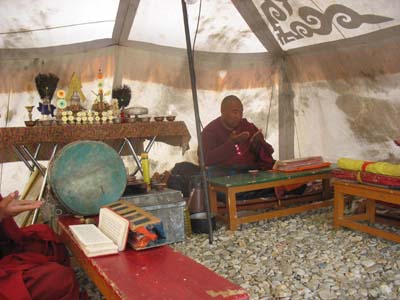
Tent, monastery
the 01/09/2007
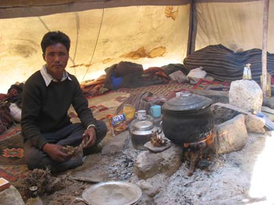
Tent of nomads
the 01/09/2007
The 02/09 is Tibetan Democracy Day. I was invited to take part in the meeting of the clan leaders in the presence of Lamas then to attend a horse-race.
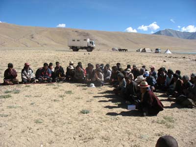
Meeting of the clan leaders
the 02/09/2007
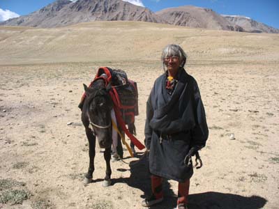
Tibetan horse rider
le 02/09/2007
The following weeks were dedicated to Lahaul, Kullu, Spiti and Kinnaur valleys.