White Lady
On Monday morning June 18th I left the edge of the Atlantic Ocean at
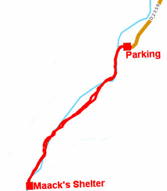
Henties Bay to visit White Lady in The Brandberg where is Rock-Arts
discovered by the l'abbé Henri Breuil in 1948. The access is by a
path of 5.5 km return to the car park along the ba dry river bed
with some perilous passages for arthritic articulations. Of course I
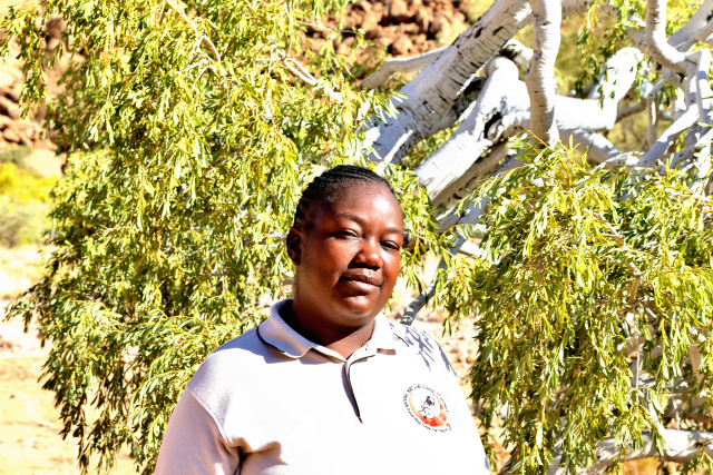
had my trek sticks. Moreover the heat was intense, +30°C. A guide is
obligatory, I called her, Nathalie. With the stops of comments, I
traversed the distance in 2:15. Paintings are representative of the
rupestral art in the Southern Africa dating back to approximately
2500 years. Harassed I used a bivouac suggested by Ioverlander at
approximately 2km from the car park. The temperature reached 36°C in
the camper body
click on the pic for opening the gallery
|
|
| My guide |
GPS tracklog |
The GPS road tracklog
from White Lady to Twyfelfointein
from 2018/06/19 to 2018/06/20
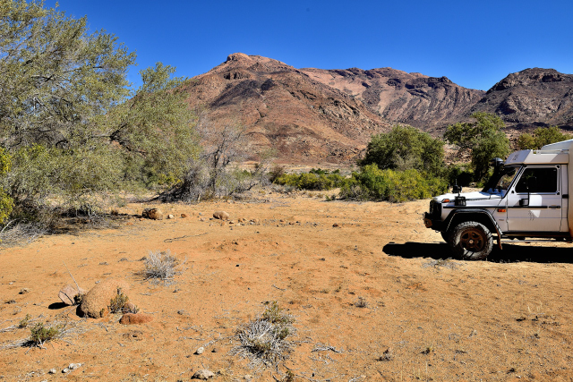
Bush Camp
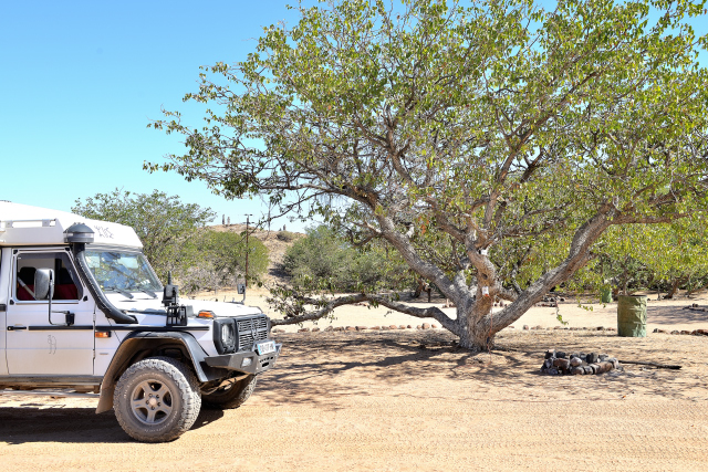
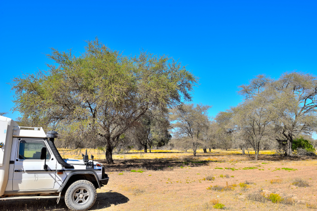
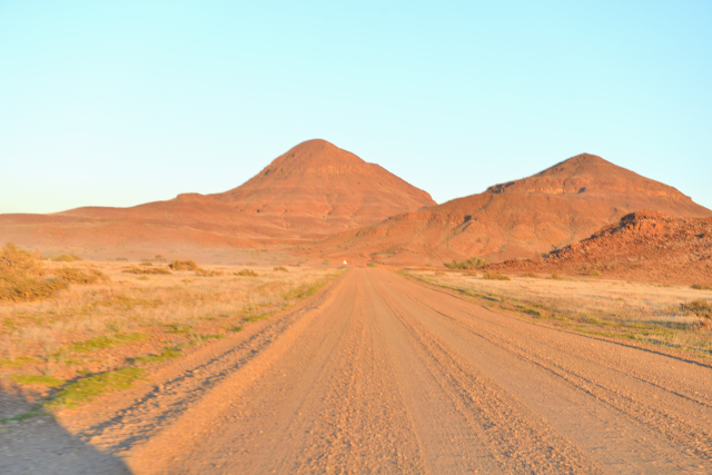
On Tuesday, June 19 on the way towards Twyfelfontein, I stopped to
see a petrified forest as I saw during my peregrinations around the
world. I point out that they are trees laid down on the ground, in
this case of the plants of the gymnospermae family as conifers and
same Welwitschia, old of approximately 260 million years. I
continued my road to a bivouac close to the rupestral-art site which
I would visit tomorrow morning in the fresh air.
click on the pic for opening the gallery
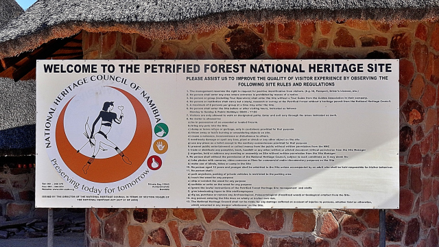
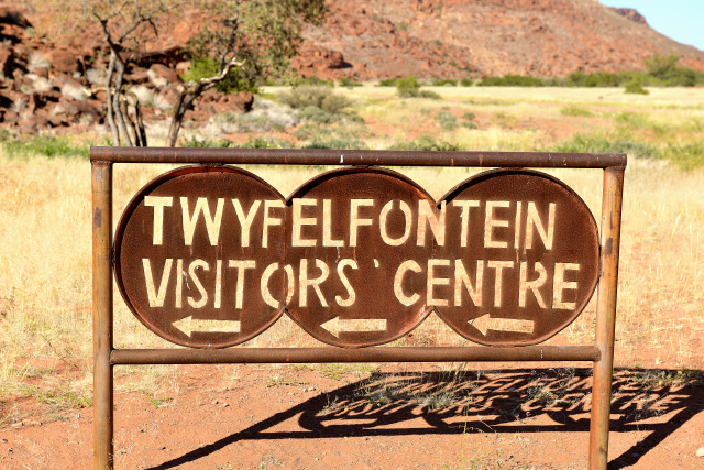
Twyfelfontein
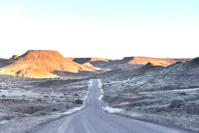
On Wednesday morning around 9:00 I was the first with Twyfelfontein
to see rupestral engravings which are engraved in the rock with a
flint shown by the guide. They are on rocks of various colors
putting in scene animals as well as ritual dances to the Sam people
divinities. The trip of approximately 2 km is carried out in rocks
sometimes very difficult to negotiate even with trekking sticks.
Further on at the end of a path a gorge presents basalt columns of
approximately 4 meters high. Then finally Burnt Mountain exhibits
its colors of fires at the morning sun. To have rest I spent the
night at Abu-Huab Rest camp before continuing my way.
click on the pic for opening the gallery
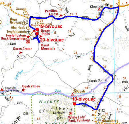
The GPS road tracklog
from Twyfelfointein to Sesfontein
from 2018/06/21 to 2018/06/21
Sesfontein
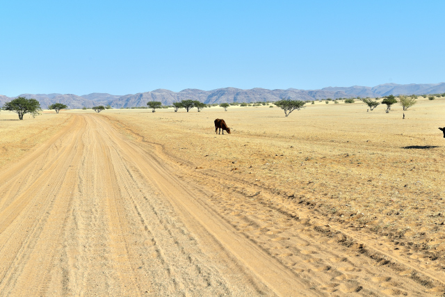
Thursday, June 21 was a morning of track to go to Sesfontein before
the northern border between Namibia and Angola. In this village the
last gas-station is held to fill the tank with diesel fuel knowing
that the appointed lady does not change; the local people fill the
tank by banknote! Of course no visa card. I bivouacked at the
entrance of village.
 |
 |
| En route |
The GPS road tracklog
from Sesfontein to Purros
from 2018/06/22 to 2018/06/22
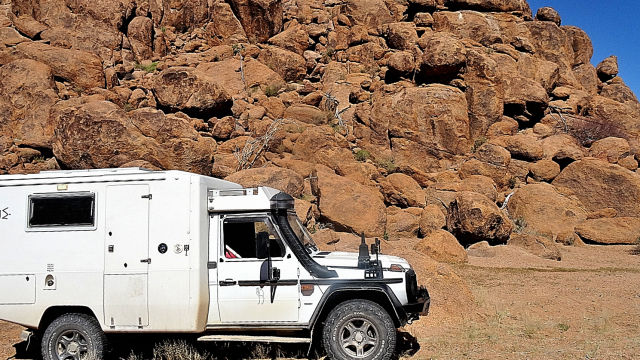
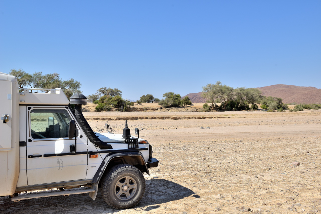
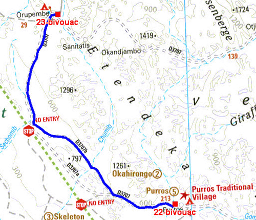
Purros
On Friday, June 22 I traversed the 3707 track from Sesfontein to
Purros, 110 km, of stones, sand, corrugated track and others in 3
hours. I was alone on the track, out of cattle. I am in Himba land,
but the villages are thin and the population is in the huts, to
follow. I established my bivouac away from the village. Heat is up
to 38°C in the camper, it is the southern winter!
click on the pic for opening the gallery
The GPS road tracklog
from Purros to Orupembe
from 2018/06/23 to 2018/06/23
Orupembe
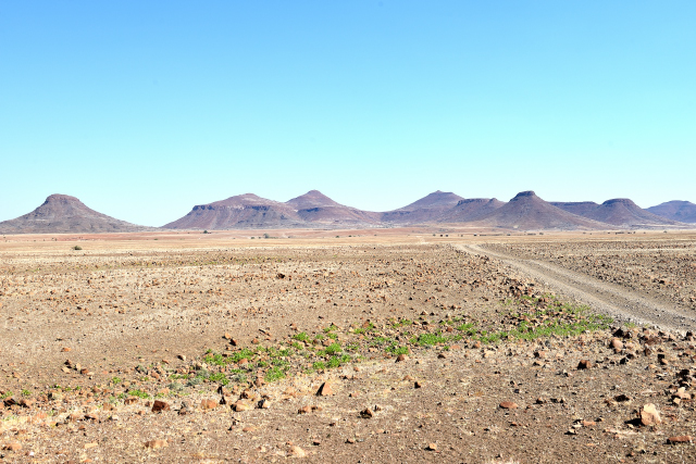
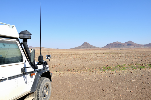
On Saturday, June 23 I continued my way on D3707 towards Orumpende.
The track is often badly corrugated and/or stony. The landscapes are
quasi lunar with a low-tension lighting, for energy saving! I took
3:20 for the 108 km. I passed through the village and its three or
four huts to bivouac on the track towards Onjuva
click on the pic for opening the gallery
The GPS road tracklog
from Orupembe to Camp Synchro
from 2018/06/24 to 2018/06/24
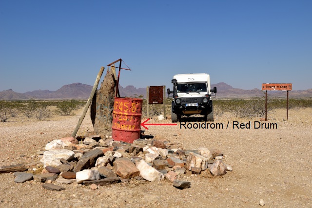
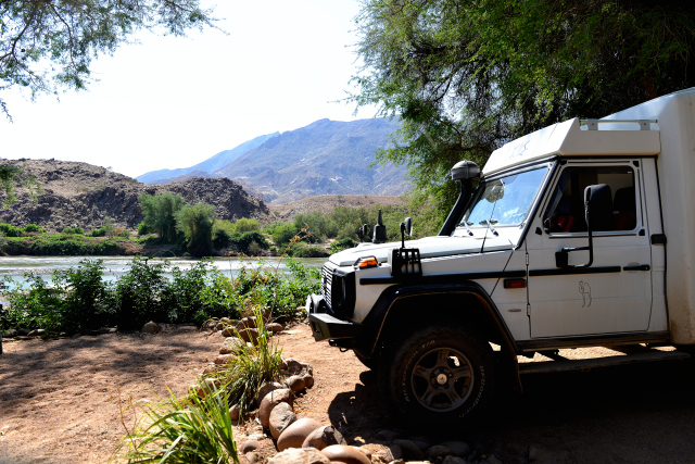
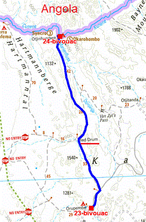
Camp Synchro
On Sunday, June 24 the track from Orupembe to Camp Synchro, 116 km,
is jolty, stony, sandy with a Joubert's pass to cross rather sloping
leading to the crossroads of Red Drum. Finally I put 4:30 to carry
out the way. Camp Synchro is at the edge of Kunene River natural
border with Angola. The amenities are simple but correct. Obviously
for several days I have no WiFi connection and it will still be
necessary to wait. The target to come to the northern borders from
Namibia was to traverse the vast MarienFlüss valley extended from
sand covered with close-cropped plants delights by goats.
click on the pic for opening the gallery