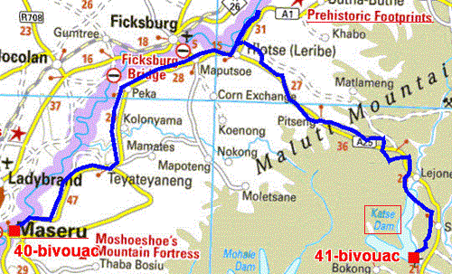
The GPS road tracklog
from Maseru to Katse Dam
from 2018/10/15 to 2018/10/21
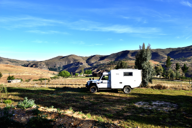
Katse Dam
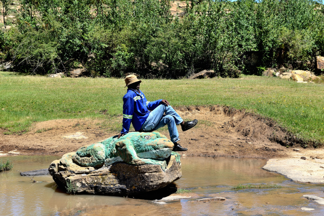
Monday, October 15 I left Maseru for Leride (Lhoste). But I
discovered that it was a large urban area with patrols of police on
foot traversing the main street; it is a frontier town. I went my
way to go to see the dinosaur footprints at the edge of a river. I
was accompanied by three young men very accessible who helped me to
go down towards the river. It is necessary to be a specialist to
recognize them. Not wishing to bivouac in Leride I pushed up to
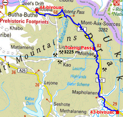
Katse Dam by crossing a pass at 3,096 meters of altitude. My bivouac
opposite the dam is at 2,143 m of altitude. I remained two nights
there to acclimatize me to altitude because I had two more other
pass to cross at +3,000 meters.
click on the pic for opening the gallery
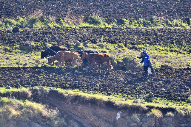
The next morning around 7:00 I observed farmers plowing of the
pieces with mountainside, with the shade with the still wet ground
of the night, with hitch of four oxen. I took pictures with the lens
of 500 mm.
click on the pic for opening the gallery
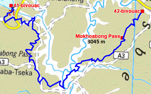
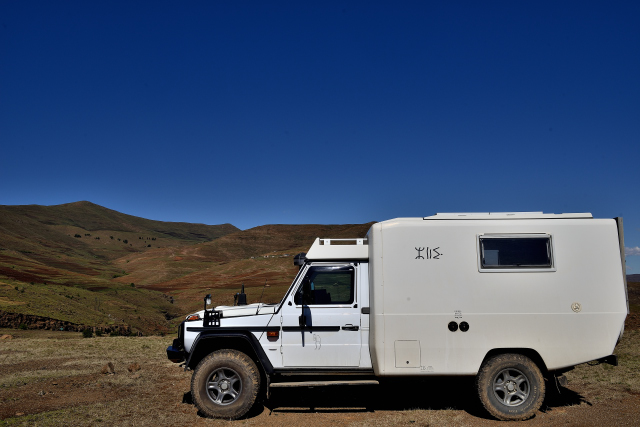
The GPS road tracklog
from Katse Dam to river spot
from 2018/10/17 to 2018/10/17
River spot
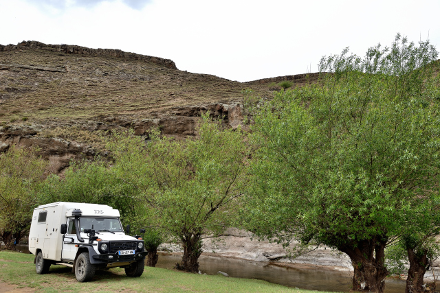
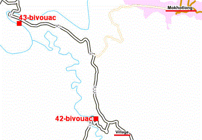
Wednesday, October 17 I climbed Mokhoabong Pass at 3,045 meters of
altitude. The track is seldom good driving because it there
pot-holes and, it is rocky. From bivouac to bivouac I traversed 156
km in 6 hours and 15 minutes. The weather was been overcast and
gloomy but fortunately without rain. The final bivouac was very
bucolic at the edge of a small river bordered with trees with 2,105
Mr.
click on the pic for opening the gallery
 |
 |
The GPS road tracklog
from river spot to wild camp at a river
from 2018/10/17 to 2018/10/19
|
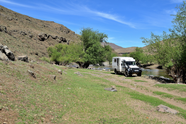
Wild camp at a river
But around 18:00, a fellow arrived, well equipped for this area, who
explained me that the parking was prohibited and that consequently I
was to go to install me in his camp-site! Of course I refused this
blackmail vigorously. It followed a discussion which lasted
approximately about fifteen minutes. Finally he threatened to me to
call on the police. As I had another point of bivouac approximately
8 km further on at the edge also at a river. I left the spot by
eating my hat of anger. I left quickly to move away from this rowdy
character. The new bivouac even more tempting is surrounded by hills
and away from the curious one. My only visitors were goats. I
remained there during three nights to prepare my tour in Kruger N.P.
The GPS road tracklog
from wild camp at a river to at the gorge
from 2018/10/20 to 2018/10/20
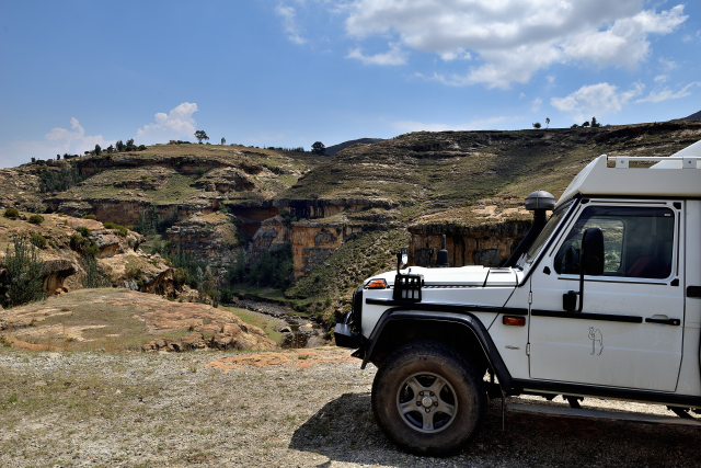
At the gorge
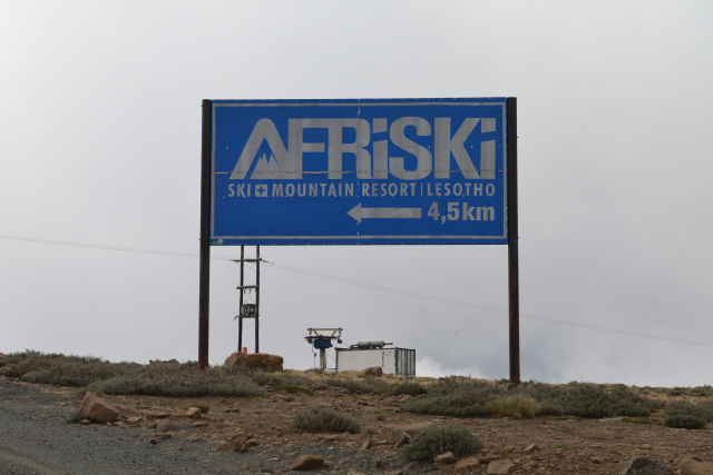
Saturday I left with regrets the wild camp at river for its beauty
and its quietude. The target of the day was to approach the border
between Lesotho and South Africa to cross it on Monday morning
October 22nd. I had two pass(es) at more than 3,000 meters high to
cross in the clouds with a temperature of +2°C. The tarred road
curved in rolling mountains during nearly 80 km between 2,600 and
3,200 meters of altitude while passing close to a winter sports
resort, Afriski, at approximately 3,200 meters. Then the road went
down up to 1740 meters where I found a wild camping at the gorge
with a splendid landscape accompanied by white goats connected with
the enthusiast of freedom Blanquette of Mr. Seguin (by Alphone
Daudet)!
click on the pic for opening the gallery
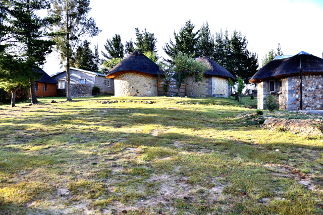
Mamohase B&B
Sunday, October 21 I established my bivouac at one kilometer away
from the gorge in Mamohase B&B. Great was my disappointment. The WC
is a pit-toilets, the shower is a bucket of hot water and there is
no water to fill the ad hoc tank! Admittedly the landscape is
splendid; it is my last day in Lesotho.
click on the pic for opening the gallery