The GPS road tracklog
from Rumphi to Nyika NP, Chelinda Camp
from 2019/02/18 to 2019/02/18
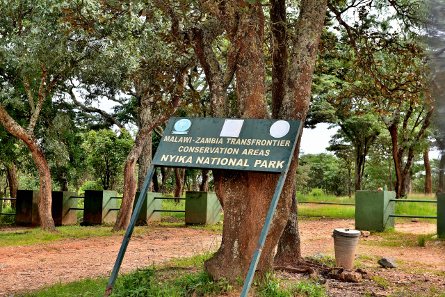
Nyika National Park, Chelinda Camp
Monday, February 18 I undertook the long and difficult track to go up to
Nyika National Park at approximately 2300 meters of altitude. The few
110 km were traversed in 5:30 with a stop at the entrance of park to
fill the formalities of access as well to the reception of Chelinda for
the establishment at the camp-site where I was alone, as usual. After
lunching I explored the animalist resources of the park. Not enough to
boast zebras and antelopes nothing else, once again I point out that it
is the rainy season. .
The GPS road tracklog
from Chelinda Camp to Chelinda Camp
from 2019/02/19 to 2019/02/19
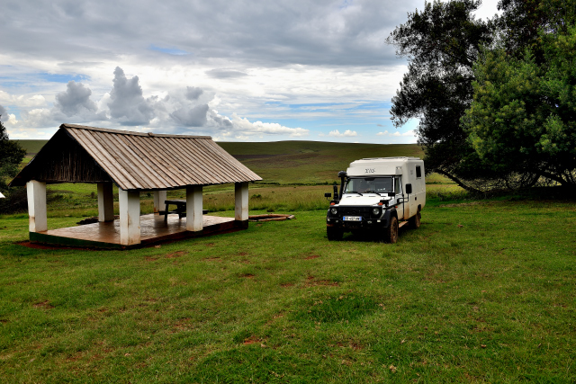
Tuesday, February 18 I left the camp-site around 5:30 a.m. to try to
flush out the animals at the list, but it rained. I traversed 45 km in
5:30 on softened tracks by seeing zebras and antelopes on peaks far
away. I returned to the camp-site to lunch and put on page my visit of
the park on my website. Then around 17:00 the guard of the camp-site had
heated the hot-water bottle to take a hot shower with an outside
temperature of 12°C.
click on the pic for opening the gallery
The GPS road tracklog
from Chelinda Camp to la Livingstonia, Lukwe Farm
from 2019/02/20 to 2019/02/20
Livingstonia, Lukwe Farm
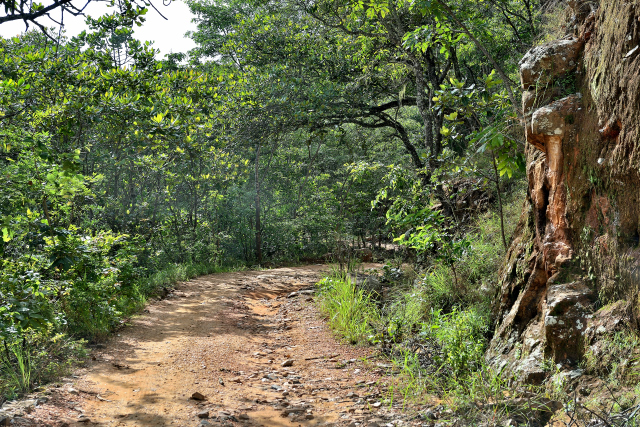
Wednesday, February 20 I left without regrets Nyika NP before the day
break at 5:00 to go to Livingstonia away from 185 km that I traversed in
7:30 with a stop to visit the Mission. Admittedly I passed by the gravel
road, overland route, curving in the mountain from Rumphi to
Livingstonia by Lura. I made some slips in mud which pointed out me the
terrible road BR #319 from Porto Velho to Manaus,
here. Video below shows that the vehicles even 4x4 of the
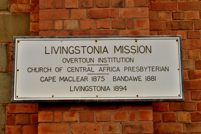
difficulties because had equipped with unsuited tyres. Livingstonia was
founded by Scot missionaries reducing Cape Maclear then Bandawe due to
the malaria. The city was named in honor of Doctor David Livingstone by
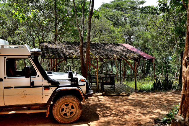
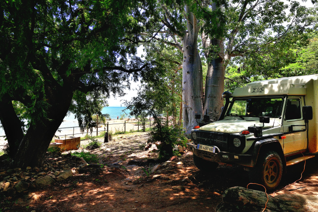
the reverend Doctor Robert Laws in 1894. I establish my bivouac in Lukwe
Eco Camp; in a enchanter site on hillside overhanging the Malawi Lake.
The conveniences are accessible by sloping ways, not recommended to
arthritic elderly people.
click on the pic for opening the gallery
The GPS road tracklog
From Livingstonia to FloJa Foundation
From 2019/02/21 ato 2019/02/24
Ngara, FloJa Foundation B&B
Thursday, February 2 the descent from Livingstonia, Lukwe Camp, 1148
meters of altitude, up to Kondowe, 486 meters of altitude, at the edge
of the lake Malawi measures 11 kilometers which I carried out in 1:19
minutes although the track was dry without mud; admittedly I made a
cautious stops and crossing. I arrived at the end in the morning at
FloJa Foundation B&B where I remained four nights until on Monday,
February 25 to enter Tanzania.
click on the pic for opening the gallery
The GPS road tracklog
From FloJa Foundation to the border MW/TZ
From 2019/02/25 to 2019/02/25
Songwe, frontière Malawi, Tanzanie
Monday the 25th February at Songwe I began the formalities to leave
Malawi then to enter Tanzania.