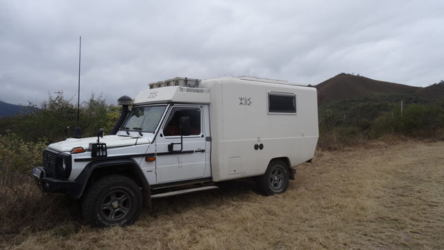
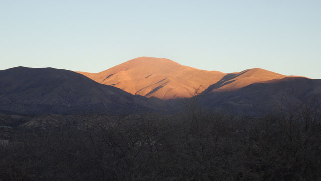
Monte Quemado
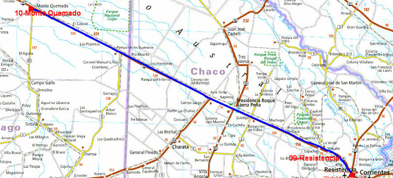
On Monday, July 25th I fled this sad town of Resistencia and its
lamentable camping municipal as of the sunrise towards Salta. Ruta
RN#16 is quasi rectilinear at all the distance and very tedious.
From Resistencia the temperature leapt up of +10°C, with 12°C under
my truck at 6:00 a.m. On the way it reached +30°C around 13:00.
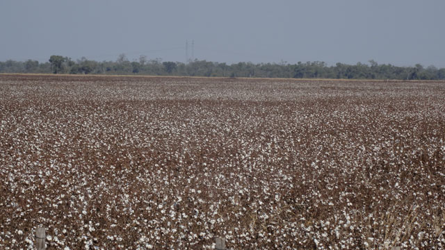
Moreover the cotton fields made their appearance and the accesses of
the road carried the marks of fire or burn-beating! I bivouacked
halfway between these two cities at Monte Quemado on the carpark of
a gas station.
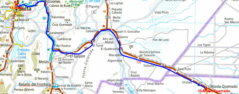
The GPS road tacklog
from Monte Quemado to Salta
from 2016/07/26 au 2016/07/26
Salta
Tuesday, July 26th was the second phase towards Salta. The two
stages represent nearly 800 km. The roadway is sometimes in very bad
condition. I stopped to have lunch at a gas station which, oh
happiness, had a Wifi connection enabling me in three-quarter hours
(!) to publish the pages of my website of the previous week. On the
highway little before the entry in Salta a kiosk Tourism Office
supplied me in maps for the continuation of my trip in the north
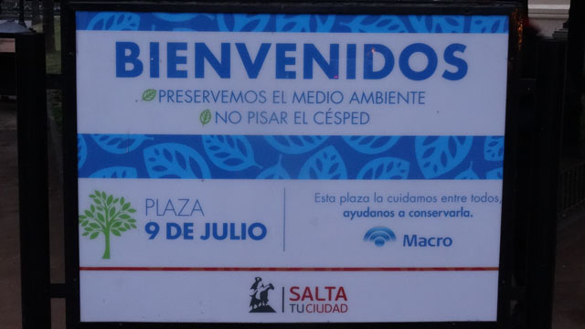
Argentina. Plaza of 9 de Julio, downtown area, will be difficult to
visit tomorrow because the parking is prohibited, to follow. I used
a bivouac in a quiet street. Salta is at 1200 meters high,
the temperature is down.
On Wednesday, July 27th I left the bivouac around 7:30 to find a
parking close to Plaza 9 de Julio. I then began my visit to the
forefront of day while turning around Plaza which exposed
photographs of the beginning of the 20th century. I entered the
catedral where many faithful expected the beginning of the religious
office. Further away in the calle Casero Iglesia de San Francisco is
recognizable with the pink color of its walls. At a hundred meters
in the same street Convento de San Bernardo dates from the 16th
century but its is accessible only by the nuns. The museums open
only at 11:00 and the top of Cerro San Bernardo was in the clouds. I
went my way to go to take appointment with the Mercedes-Benz garage
to carry out the periodic revision on my back from Chile. Finally
after a snack around midday I took the road for San Salvador de
Jujuy and a bivouac in the mountains at 1427 meters high.
Visite de Salta, click the picture
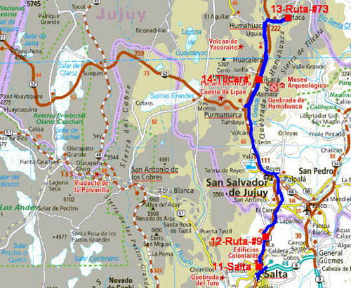
The GPS road tracklog
from Salta to Tilcara
from 2016/07/27 to 2016/07/31
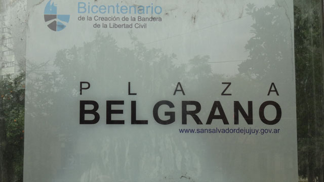
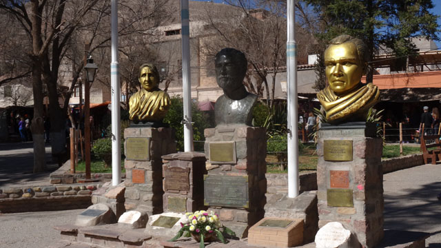
San Salvador de Jujuy
The visit of San Salvador de Jujuy will not leave an imperishable
memory. As usual I turned around the main Plaza, here Plaza
Belgrano. The first building was Cabildo, city-hall, then the
catedral of 1763 with a splendid pulpit covered with gold sheets.
Two stained glasses drew my attention putting forward, the proverb,
Gold God and Glory. At side the museum with in a patio the Belgrano
General and the flag of Argentina, exhibits liturgical objects whose
two parts are remarkable by their smoothness, but alas No Photo.
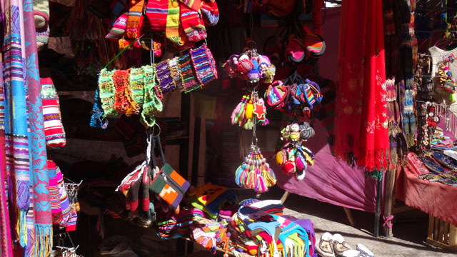
Paseo de las Artesanias presents very coloured articles. Finally the
old railway station is preceded by an equestrian statue of the
General Belgrano, hero of the independence of Argentina and creator
of the national flag.
Visit San Salvador de Jujuy, click the picture
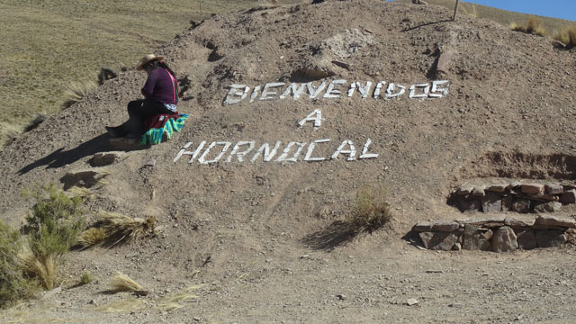
Hornocal
I continued my way up to Hornocal after 23 km of track to admire
Quebrada de Humahuaca. I took pictures with all the materials at my
disposal to vainly try to have the colors of this natural patchwork,
without success. Filters had been needed! I went down again of a few
hundred meters to bivouac.
Hornacal, click the picture
ruta#9
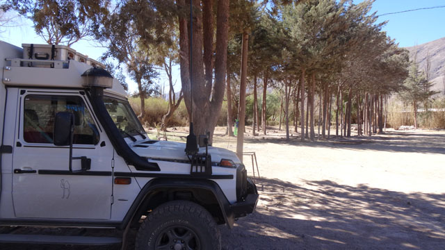
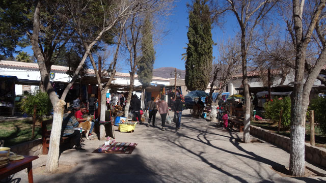
On Friday, July 29th to have rest of the high altitude I decided to
pose to me at the camping El Jardin in Tilcara, alas without Wifi
connection. While crossing Humahuaca by the narrow streets I reached
Ruta-#9 to return to Tilcara while strolling with stops to Uquia to
take pictures of the artisanal market under installation. Further it
was in Huacalera built on the Tropic of Capricorn. I arrived around
12:00 at the camping El Jardin where I settled for three nights. In
the small hour the temperature was negative.
On the ruta #9, click the picture
Tilcara
Tilcara village
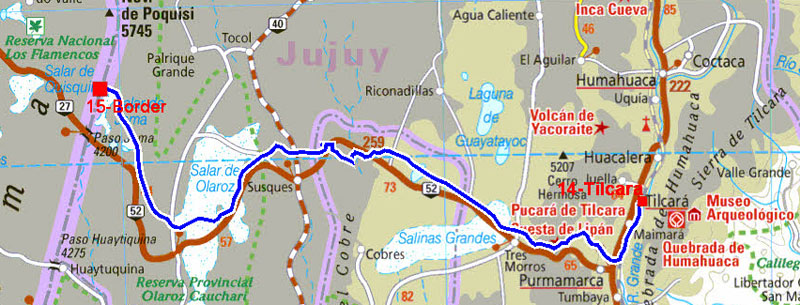
The GPS road tracklog
from Tilcara to the border
from 2016/08/01 to 2016/08/01
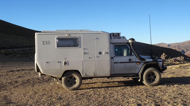
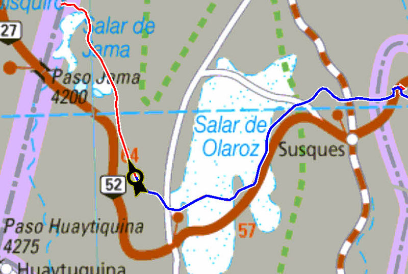
On Monday, August 1st before the sunrise I left for the Chile border
at Paso de Jama. I took pictures on the way which remain in my
album. On the other hand I want to testify to the innovations of the
last version of QuoVadis 7.3.0.11. The development team created a
compiler then an engine to calculate the streetrouting on OMS maps.
I have used OMS maps of South America put at the disposal of
QuoVadis customers for several weeks. I show of it an example above
with a section of the road from Tilcara to Paso de Jama on Argentina
map. The tracklog calculated by the QuoVadis engine is in red, the
tracklog sent by Garmin GPSmap 276C is in blue. They are
superimposed very exactly. It is bluffing. I will not make comments
on the precision of the Argentinien map by Reise Know-How
Verlag!
Crossing the border
I left Argentina on Monday August 1st at Paso de Jama at 4200 meters
high. Look at Crossing the border,
here