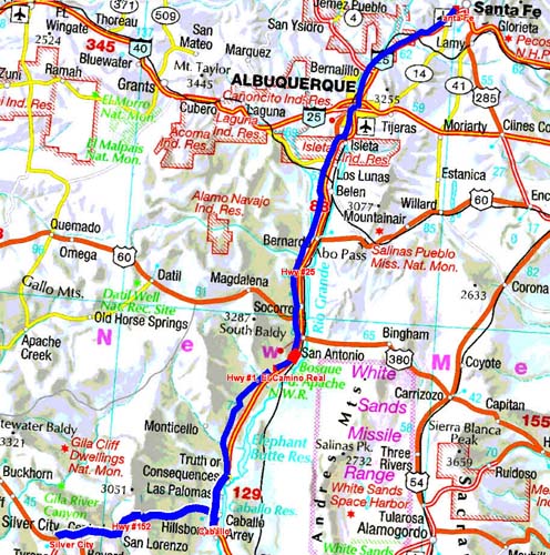
En route Hwy #25
Before leaving Santa Fe I went in front of
Home Depot for Wi-Fi connection. At
Albuquerque I bought valves of tires by
Equal Product at McGee and I made supply
at Wal-Mart. I did not wish to spend a
night on the carpark, too it is too much.
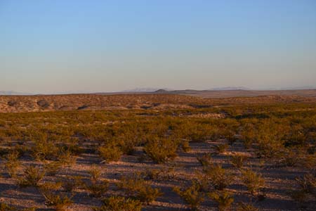
I continued my road southwards under a sky
slightly buckled in a desert landscape
without tree but in spite of enclosed. No
possibility of stationing except on a tiny
rest area. I found a site on a closed
weigh station…
En route Hwy #25
At San Antonio, Hwy #25, I had the choice
either to go to Alamogordo or to visit
Bosque del Apache on Hwy #1, El Camino
Real. I chose the latter hoping to see
birds, although not being ornithologist.
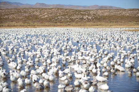
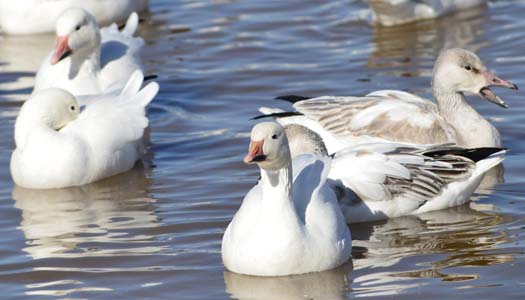
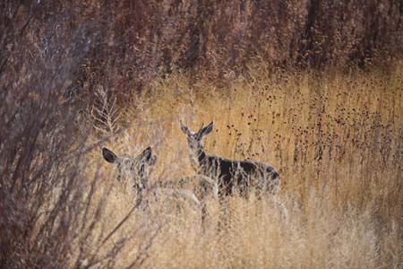
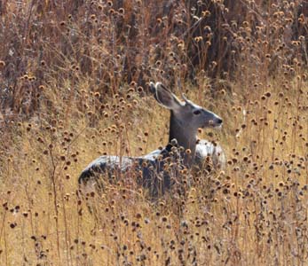
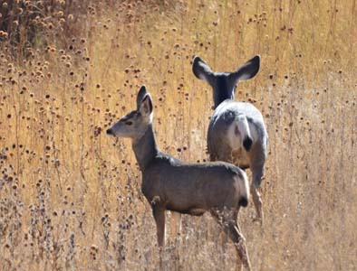
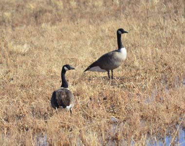
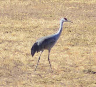
Bosque del Apache
NWR
The choice was judicious more especially
as time was shone upon and hot. At Visitor
Centre I bought audio CD commenting the
Tour Loop of 15 miles. On the move I
traversed the walks suggested to observe
and surprise animal wildlife. I was
filled. In the late afternoon I found a
bivouac on El Camino Real, off beaten
track.
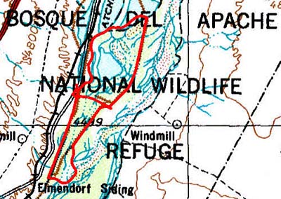 |
| Tour Loop, GPS tracklog |
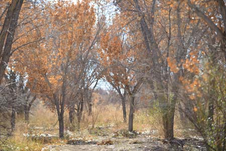
En route Hwy #1, El Camino Real
Although the spot was not brilliant I
remained there still a night to work
Spanish language, I have a hard head, and
to make administrative works. The parking
is in edge of road on a platform which was
used tor store gravel for repairing the
roadway. Traffic on El Camino Real is
quasi non-existent.
 |
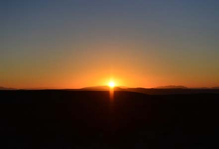
| Sunset |
 |
 |
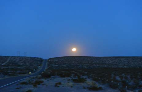
| Moonrise |
Sunrise |
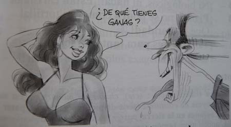
Assimil, Spanish intuitive course
The Assimil method of Spanish teaching,
free publicity, is pleasant. Dialogs are
written with humor by Francisco Javier
ANTÓN MARTÍNEZ and drawings by J.-L. GOUSSÉ
are often hilarious. But el camino is a long
way to control an everyday usage of it…
 |
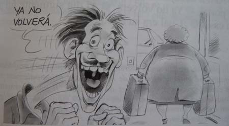 |
| Cartoons by J.-L.
Goussé |
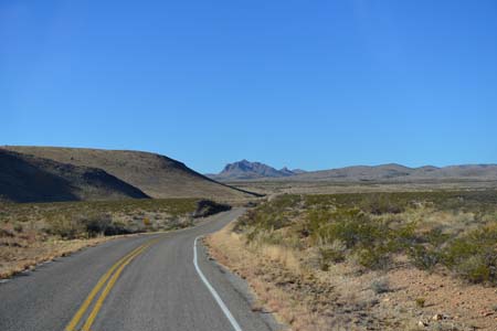
En route Hwy #1, Geronimo Trail
After the loneliness of El Camino Real I
found again Hwy #25 up to Truth or
Consequences after the name of a TV
program! It is typically an American
village, nothing to see. I stopped there
to send a fax to Lewis & Lewis to
contract a Mexican six months insurance. It was a true play of track with
the assistance of kind people. At the post
office, there was no fax, but a gentleman
led me to a shop about which the owner
spoke French. Another gentleman, son of
"black foot" emigrated in the USA, took me
along downtown to find a fax, after a trip
we found one. I sent the
fax. Then I strolled on Hwy #1, Geronimo
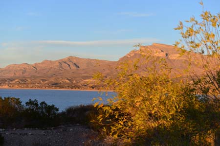
Trail, up to Caballo where Caballo Lake
State Park accommodated me for two nights
with a view on the lake.
 |
| On Geronimo Trail |
 |
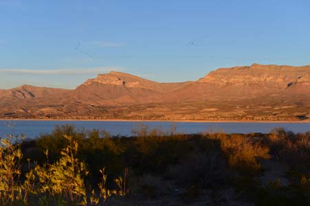 |
| Caballo Lake State Park
at 5 p.m., sunset |
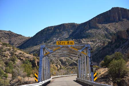
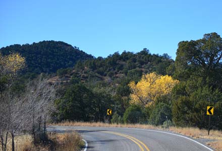
En route Hwy #152, Geronimo Trail again
I left after lunch to head to Silver City
by the mountain road, Hwy #152, with a
pass at +2500 meters high. I was
confronted with two metallic bridges with
a vertical clearance of 12' 8”, but how
many meters it is. I entered under the
first with precaution because my truck is
about 3.75 meters high with the base plate
of the antenna on the roof. It was Ok.
After the pass I found a free of charge
campsite in Gila National Forest.
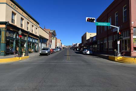
Silver City
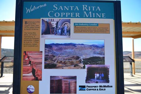
Around 8 p.m. I went down from Upper
Gallinas, 2100m to Silver City, 1800m, to
visit the city while beginning with
Visitor Center then City Museum. On the
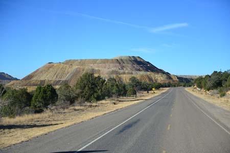
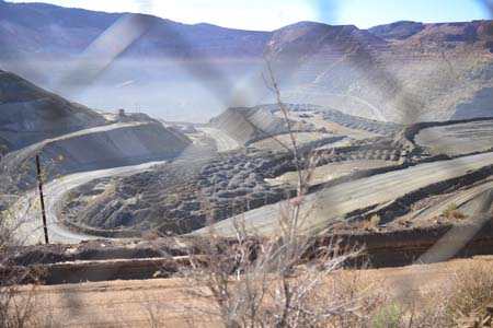
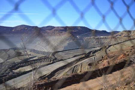
way I had stopped to take pictures, behind
a netting, of the Open Pit of Santa Rita
copper mine always in exploitation.
It was open in 1800 by a wealthy Mexican
of Chihuahua. As one can suspect it well
the city does not have great attraction.
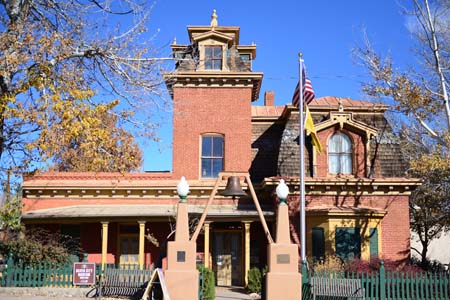
Its museum is installed in the H.B.
Ailman's old house built in 1881 in the
Victorian style. I strolled in streets
looking for sights, nothing and besides no
tourist in this season, although the
temperature was mild.
 |
 |
| Open Pit |
 |
| City Museum |
 |
 |
| Silver City map |
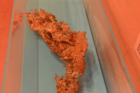
Copper ore |
 |
 |
| Bullard Street |