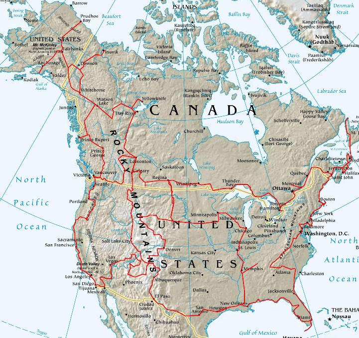
The journey in North America except Mexico was depend on the problems of obtaining a US visa limited to a duration of three months stay and granted with the discretionary power of a US immigration officer. Other constraints made the execution of a detailed roadplan complex. It was studied with the itineraries suggested by Lonely Planet by combining those of Canada and the USA. The map below gives an outline of what could be the trip in these two countries on the basis from Vancouver towards Seattle with first a three months loop in the USA and a return to Canada in summer to visit north and Alaska then the transversal of west in is in six months. A second loop in the USA towards Miami by the East coast and a return to Canada at Regina to take a new three months American visa. A third loop of Regina with El Paso. But this plan was only conjecture, the future will say what it is occurred.
|
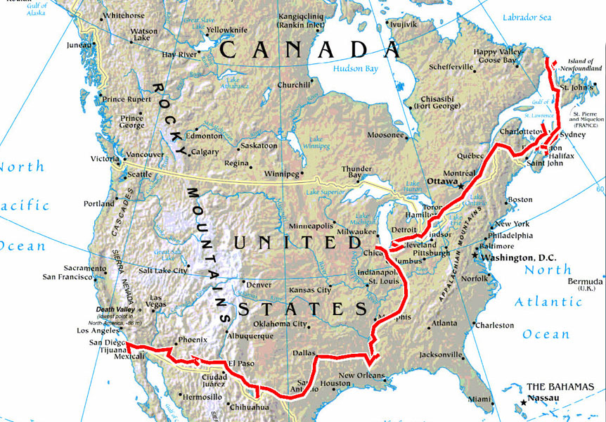
The return on the trip round the world is done by the North America east-coast at Halifax, NS. This choice is due to the quite relative proximity of the port coming from Europe. Moreover I can supplement my first journey, in 2011/12, in the area while going in the Newfoundland and Labrador in spite of the early season, the temperature will hardly be above zero degrees Celsius. Then I will move via Quebec towards the border of the USA which I will cross at Windsor, city close to Detroit. The journey in the USA will pass by Chicago then the valley of the Mississippi to go towards the west by Dallas in order to cross the border with Mexico at San-Diego. The trip will be approximately 12,000 kilometres into five to six months according to wandering mood for the visits.
|
Statistics by type of habitat 2015/2017:
