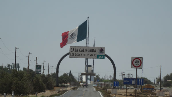
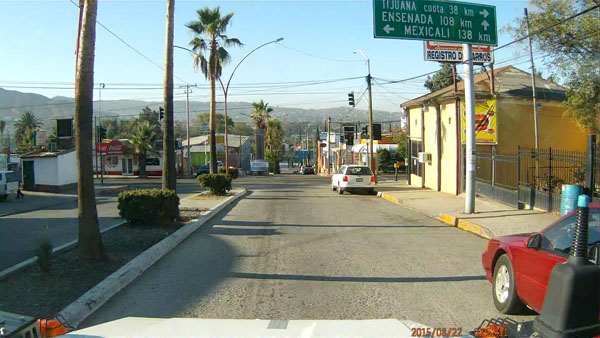
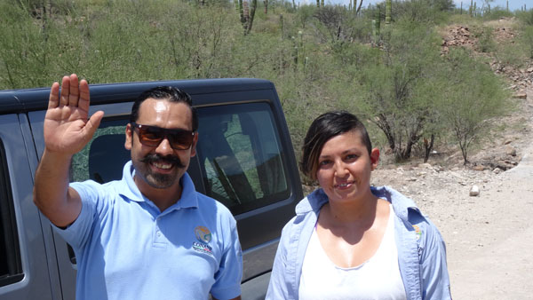
Ensenada, BC, MX
On Saturday, August 22 I arrived hardly before 7:30. I was alone, no
other car or pedestrian. The procedure was promptly dispatched I
left the enclosure of the customs around 7:55. The control of my
truck was short, the customs officer entered neither in the cabin
nor in the cell! Then he made me station the truck outside the
enclosure while I was going to fill out the document of the
immigration of Mexico and to pay US$25 for the visa cash. Then I
went to the office of the immigration of the USA to return the entry
form and to make stamp my passport to attest of my exit. Astonishing
not! They were very cool.
Ensenada
By taking again my truck I was challenged by the first signpost tor
Ensenada of reading the distance in kilometer. I refound the metric
system, no conversion neither in miles nor in gallons and other
bizarreries of the USA. Admittedly the conversion of the American
measures made work my brain… The road from Tecate to Ensenada twists
in the still covered mountains by fog at this early hour then it
traverses the Ruta del Vino. Entering Ensenada I found again my
reference marks because I had spent there more than one month in
January 2013.
But I broke my teeth on Tourist Office closed whereas sensibly it is
open as from 8:00, consequently not documentation. Then I was going
to make my market in Walmart because by precaution the refrigerator
was empty from fruits and vegetables and other food prohibited at
the entry in theory. At side I withdrew Mexican pesos at the HSBC's
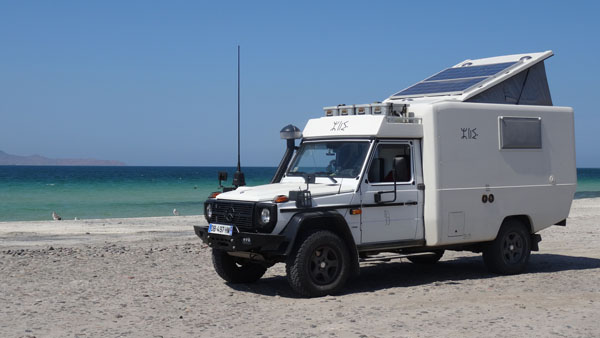
ATM. Then I established my quarters for two days in California
Villas and Motel, where I had remained in 2013. The temperature was
about 26°C with a good sea breeze; the campground is at the edge of
the Pacific Ocean.
 |
 |
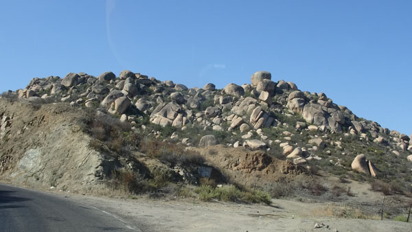
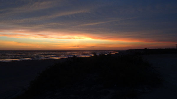
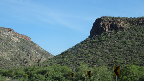
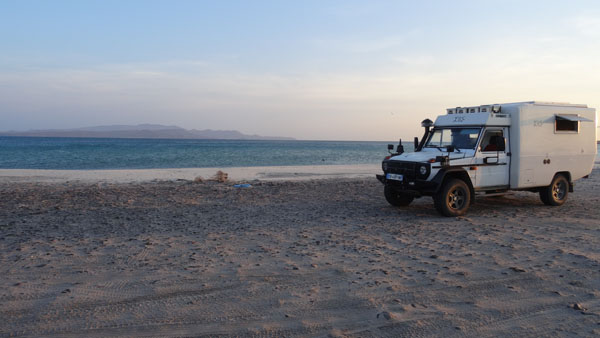
En route MEX#1, BC
roadside
On Monday, August 24th I took the road MEX#3 in the direction to the
east coast. It climbs in the mountains until an altitude about 1050
meters GPS. The rocks are in the course of disintegration. Then at
the crossroads of Trinidad El Chinero it becomes the full southern
MEX#5 crossing San Felipe then sand dunes to finish little before Las
Arrastras where it becomes a gravel route during approximately 40 km
to the crossroads with the MX#1 where I arrived after 18:30 in
search of a bivouac at the edge of the road. Machines of building
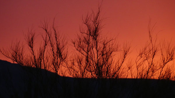
marked out the track under work for an asphalting in becoming.
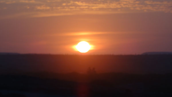
Around 19:00 I profited from an extraordinary sunset on the mountain
in the west, of course. The temperature iduring the day was of
around 37°C to fall in the early morning in the desert to 23°C.
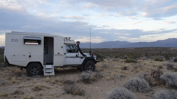
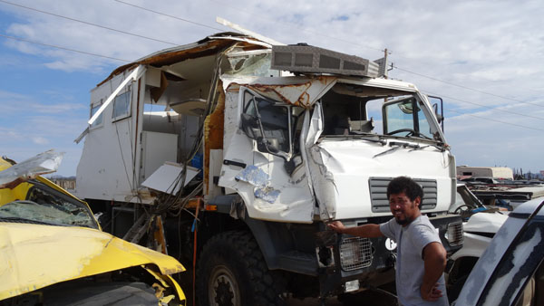
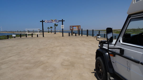
Guerrero Negro BS
On Tuesday, August 15th was one day of the memory. Indeed I made two
stops. The first at the Garage Lopez to see again the wreck of my
ravaged MAN truck by the accident on the
27/02/2013.
When I got out of my vehicle, the employee with who I had divided
the caravan recognized me at once and made me a cordial accordance.
We went together to see again my old truck without regret. The second on the spot of the
accident. I continued my road without more other reflections until
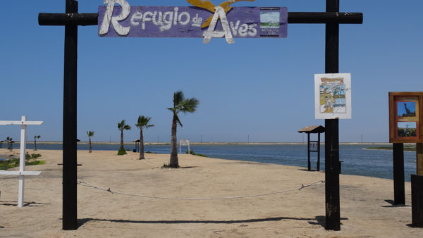
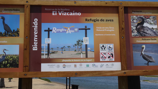
Guerrero Negro where I bivouacked in front of Refugio de Aves.
Garage Lopez
Guerrero Negro
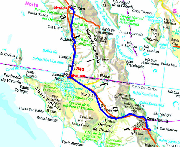
The GPS road tacklog
From bivouac MEX#1 to bivouac de San Marcos
From 2015/08/25 au 2015/08/26
San Marcos
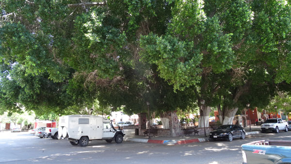
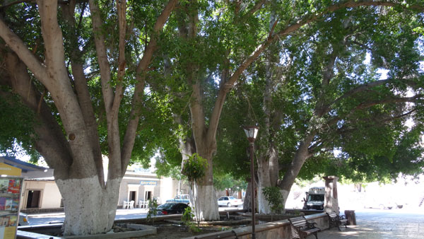
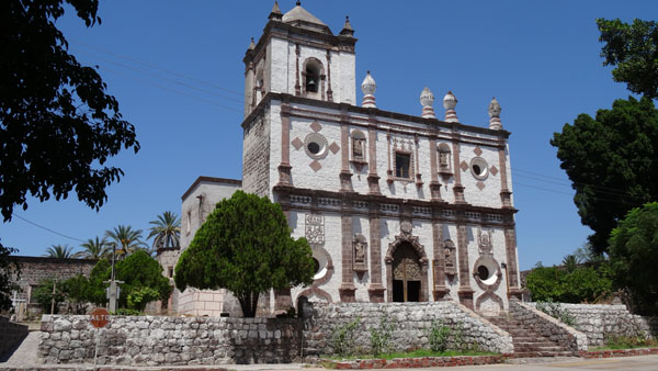
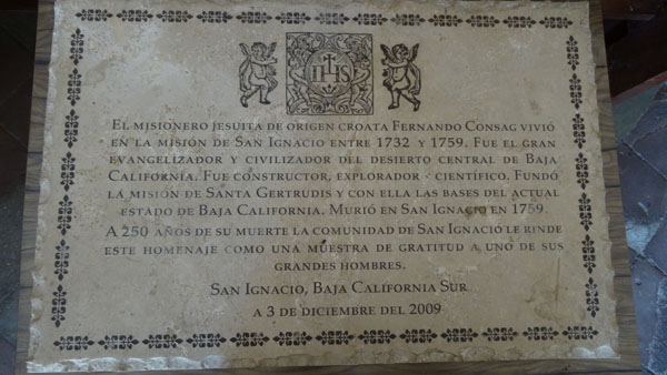
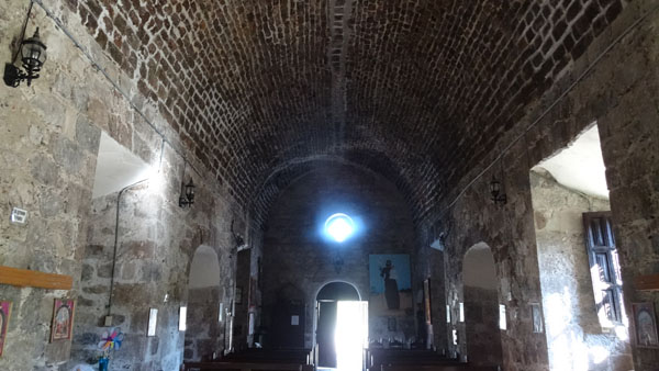
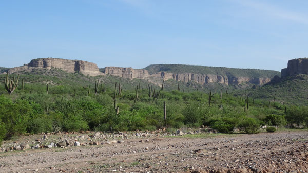
San Ignacio, Mision San Igancio de Kadakaaman
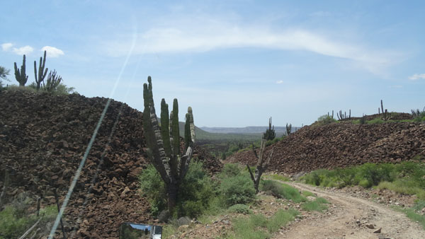
The day of August 26th was particularly testing due to the heat.
Indeed I crossed the Desierto de Vizcaino to reach San Ignacio. The
temperature reached 38°C at the sun zenith. I lunched in the shade
of trees of Plaza of San Ignacio before visiting the church
completed in 1786 built by the Jesuits with blocks of 1.2 m thick
out of lava getting an excellent freshness inside.
Santa Rosalia, Iglezsia Santa Barbara
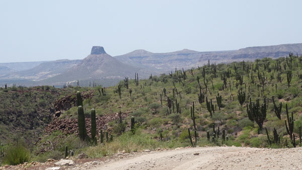
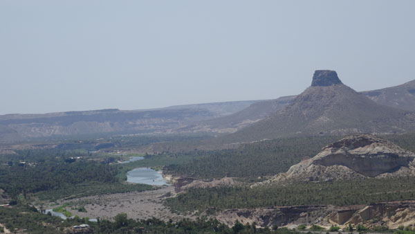
Then I moved towards the east coast, Golfe of California, Mar de Cortez,
in Santa Rosalia which was devastated in 2009 by the Jimena hurricane.
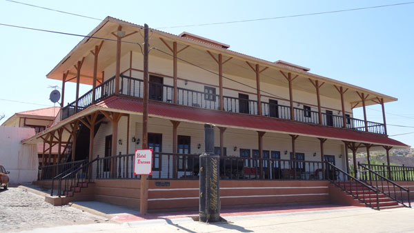
The attraction of the rebuilt city consists of the church Santa Barbara
built by Gustave Eiffel for the World Fair in 1889, by the museum El
Boleo, closed at 15:00 then the hotel Frances dominating bay. The hotel
Frances was the dormitory of the girls of the brothel for the minors.
The city rebounds by the reopening of the mine El Boleo, copper and
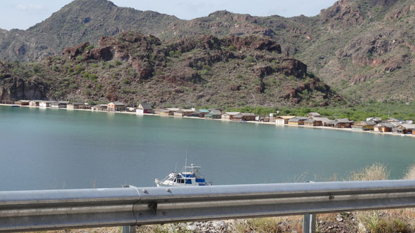
cobalt. At about thirty kilometers in the direction of Mulegé I forked
towards the east to find a bivouac at the edge of water vis-a-vis of the
island of San Marcos.
Santa Rosalia, Hotel Frances
Pacific Ocean, Las Barrancas
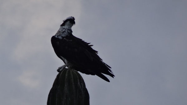
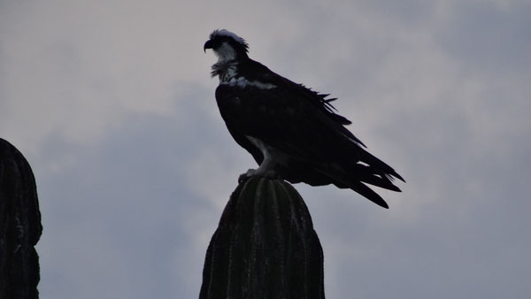
By leaving the bivouac of San Marcos I admired a majestic eagle at
the top of a candelabrum. Then I went to Mulegé to visit the village
at the edge of a river but I never believed to leave there because
the quadrangular streets are narrow and one way without road sign. I
turned not in round but to right angle. Finally I found the exit by
harsard. My target was of going to La Purisima to visit the Mision
Concepcion de Cadegomo and the other curiosities mentioned by the
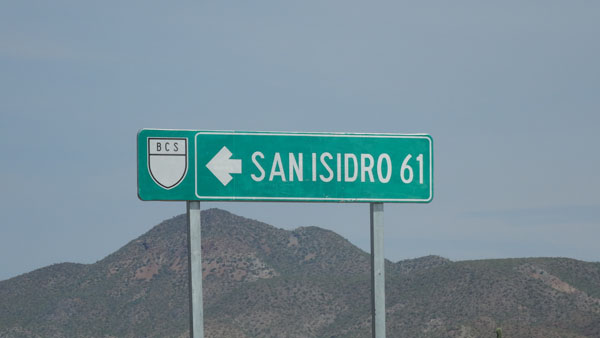
Baja California map. The road from Rosarito to La Purisima is a
track of 61 km until San Isidro and 12 km until La Purisima. On the
track I found my reflexes of the tracks in Morocco like my feelings
of solitary traveller addressing as his limits. In the event of
mechanical or other incidents I would have on average 36 km to make
on foot either towards the east to join the MEX#1 or towards the
west for La Purisima by a temperature of 38°C. While arriving at the
stage I sought the Mision then I warned a car of the Municipal
police. The civil servant informed me that the Mision disappeared
with the bad weather, moreover the road from San José de Comondu to
Loreto is impracticable for the same reasons. Little before Isidro I
became acquainted with a young charming couple. In end of the
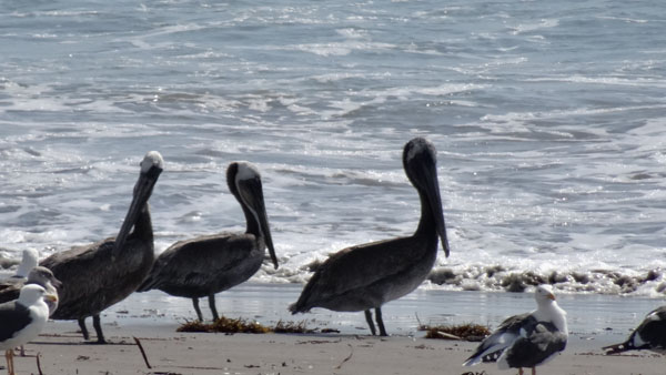
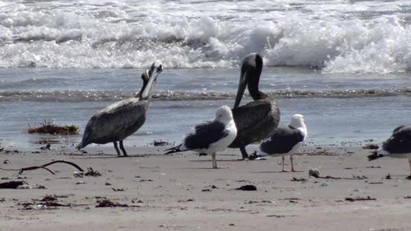
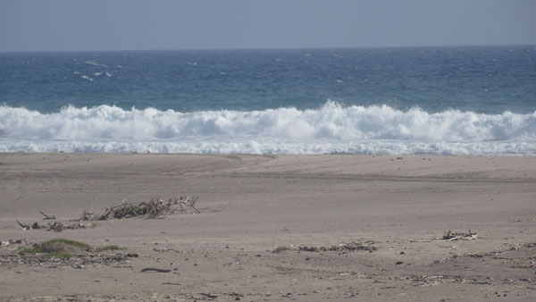
afternoon I arrived at the desired bivouac of Las Barrancas at the
edge of the Pacific Ocean. On the beach of the gray pelicans
cohabited peacefully with a colony of gulls.
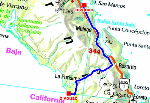
Le tracé GPS de la route
Du bivouac de San Marcos au bivouac de Las Barrancas
Du 2015/08/27 au 2015/08/27
San Marcos
En route
Track from MEX#1 to San Isidro then La Purisima
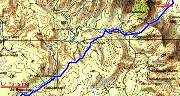
The GPS tracklog
from Rosarito to La Purisima
from 2015/08/27 to 2015/08/27
|
| Young charming couple |
Beach of Las Barrancas
|
| Coucher de soleil à Las Barrancas |
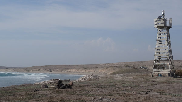
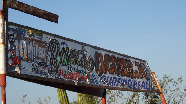
Pacific Ocean, El Conejon
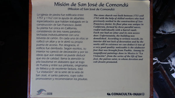
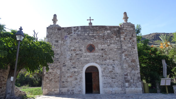
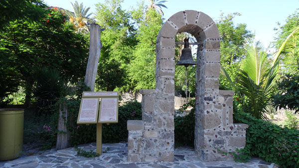
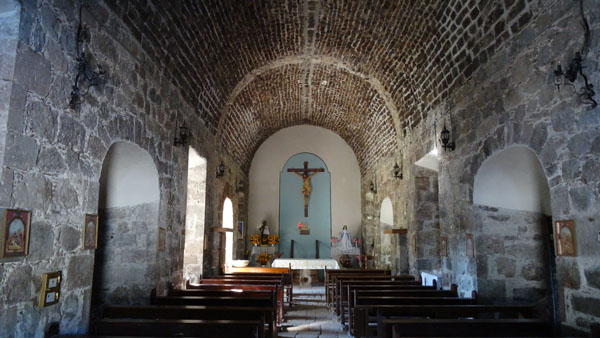
On Friday, August 28th I made only one stop to visit the Mision San
José de Comondu at the end of a track of a few kilometers while
crossing a pretty valley then a splendid palm plantation. Mision it
remains only the church out of apparatus adjusted well by senior
craftsmen. Then back to the MEX#1 it was a long monotonous straight
line but cut by multiple renovation work of the roadway very damaged
by the bad weather. By consulting the map I threw my reserved on the
beach of El Conejon of which I found the beginning of track without
difficulty although with no signpost. The very travelling track of
approximately 16 km led to the beach true paradise for surfers at
the bottom of a lighthouse.
Mision San José de Comondu
 |
 |
| Valley of San Miguel |
Beach of El Conejon
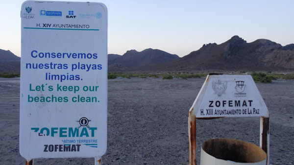
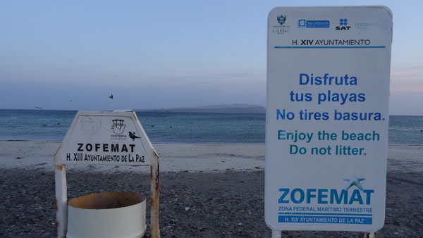
Golfe de California, La Paz
On Saturday, August 29th entering La Paz I warned Walmart where I
stopped to fill the refrigerator. Then I sought Tourist Information
on Obregon AV the employee did not have many booklets and he taught
me that there was not RV-Park. Tourists with campers went to Playa
El Tecolote after the port of Pichilingue where he advised to me to
take as of today a ticket for the ferry to Topolobampo on Monday.
For the purchase of a Mexico map he gave me two addresses of
bookstores. I arrived at the port of Pichilingue at the bad moment,
the loading of a multiplicity of trucks in the ferry to Mazatlan. I
took the queue and I waited. I explained to the customs officer that
I was to make measure and weigh my vehicle before buying a ticket.
But que nenni I underwent normal control with an investigation of
the cell by his colleague who opened all the cupboards and asked me
to show her one of the trunks, empty, on the gallery. I climbed on
the bonnet for the detangle, she followed me there, the wretched
woman. Finally all occurred well and in good mood. I wished her
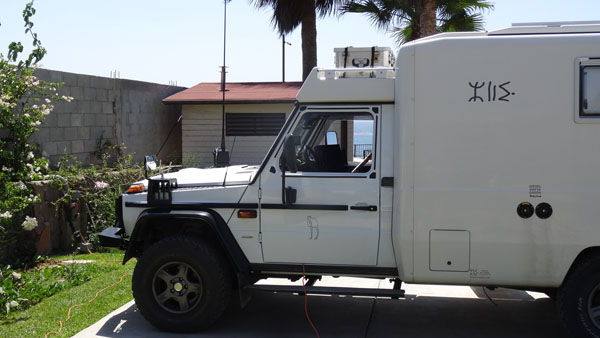
hasta luego y para el lunes. My truck was measured 5,5meters and it
weighs on the rocker of weight-heavy, 3,650 kilos with an empty
diesel tank as well as a water tank and without the driver. The
price of the ticket of the truck was of 1732.76 and that of driver
836.21 i.e. 2980 pesos with the 16% VAT, approximately 158,26€. The
way from Paz to Topolobampo lasts approximately 7 hours with a
departure at 14:30 local time. I reached my place of bivouac at
Playa del Tecolote around 14:30 with a heat of 38°C at the edge of
water. I remained there until Monday morning to return to La Paz, 32
km, to find a Wifi connection in order to publish the pages of my
website. I had to present my truck two hours before the loading.
Playa El Tecolote
 |
 |
| Camion Le 2015/08/29 à 16 pm |
Camion le 2015/08/30 à 7 am |