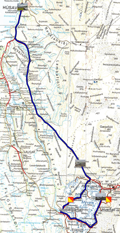
Monday June 14 after a still cold night and a rush of frozen rain. I took the road, taking a few photos back to Husavik on the Atlantic Ocean, famous for photo whale hunting, no tourists for boarding, pandemic oblige. The port offers the view of some old rigs. The sky is still loaded with heavy clouds announcing future precipitation. I bivouacked overlooking the port in the parking lot of the Netto supermarket.
 |
| Husavik harbour |
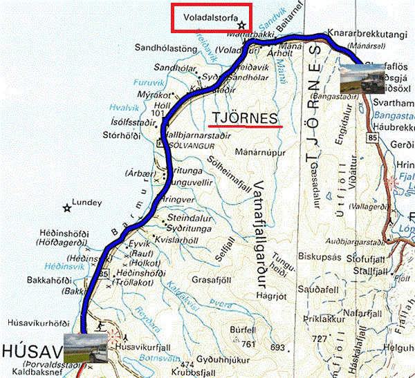
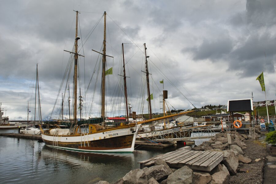
Tuesday, June 15 was a short morning traveling on route 85 on the Tjörnes peninsula to the lighthouse, inaccessible by vehicle. I continued on my way to find a parking lot. I was lucky, dream location for pictures of birds and especially puffins (shearwaters) dabbling in the sea. The last photo of two puffinsis took at 500mm telephoto, cropped and zoomed to maximum.
 |
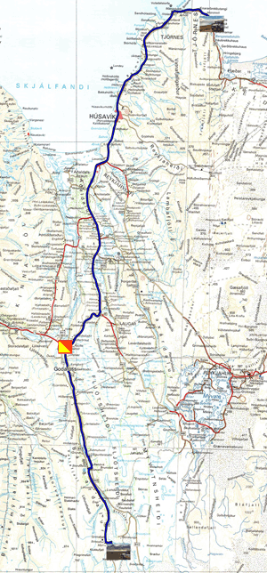
MWednesday June 16 I left the shearwaters nursery to visit two waterfalls. The first, Godafoss (Waterfall of the Gods), is on Route 1. It participates in the history of Iceland in the year 1000, an assembly meets nearby to determine the religion of the country. After lengthy negotiations, Iceland was declared a Christian nation. 40 km further along the 842 dirt road, Aldeyjarfoss is set in a spectacular location.
 |
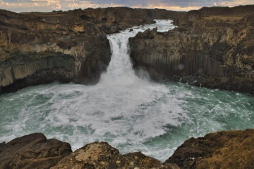 |
| Godafoss | Bivouac at Aldeyjarfoss |
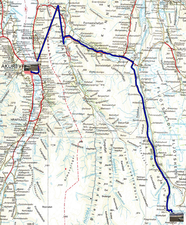
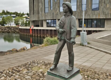
When I wake up Thursday, June 17, the landscape is covered with snow and the outside temperature is -1.5 ° C. The tripod forgotten by tourists, which I had put up the day before, was white as was my vehicle. Seen from above the Aldeyjarfoss waterfall had carved a deep gorge in the rock over millions of years. The river whose name I do not know flows in a narrow valley bordered by two gravel roads the 844 right bank that I took to go to Aldeyjarfoss and then the 842 left bank on the way back to Akureyri. I was surprised to enter a tunnel, toll road, 7 km long before arriving in Akureyri. At the first N1 service station I filled up the main tank; there were only 5 liters of diesel left. The gauge is capricious! I had to fund a SIM card at Siminn. I found out that June 17th is Iceland's National Day. Everything is closed, except the Netto supermarket. Lonely Planet Top Sights offers a 3 km Walking Tour that I used to cover. While parking my vehicle I saw a latest generation French frigate moored in the port, cocorico! Iceland does not have an army. Happy country, but it enjoyed the Anglo-American shield during World War II after the invasion of Denmark by the Third Reich.
|
|
| Akurerarkirkja, church |
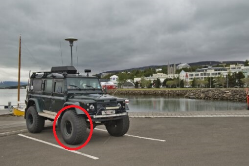
Friday June 18th I was staying in Akureyri to do the shopping not done yesterday, Iceland's National Day. I had chosen my parking lot next to the building called Hof where the tourist office must be according to the Lonely Planet and the exterior sign of the building. Well no, it's located in the library building which opens at 10:00. The tourist information officer is completely incompetent; he was unable to answer my questions about visiting Grimsey Island, located on the Arctic Circle to see shearwaters, puffins. In addition, no brochure is available. Move along, nothing to see. Then I went to Siminn's store, Internet provider, to inquire about the top-up of the 10GB credit of the Sim Card bought in Egilsstadir. The welcome was warm with a demonstration of the procedure to follow. I decided to stay there. 4x4 vehicles trudging in the snow are equipped with XXL and + size tires!
 |
 |
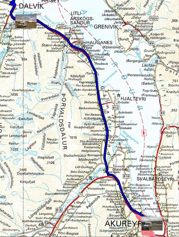
Saturday June 19 I headed to Dalvik to book a photo hunting excursion for whales and shearwaters, puffins, on Sunday June 20 at 1:00 p.m. The village of Dalvik has a population of around 1,400 people living at the foot of the church and in the surrounding area. I am always surprised by the standard of living of Icelanders as evidenced by their homes and cars. The surrounding farm buildings are shiny and the farm equipment of recent construction. I found a bivouac in an old quarry, certainly not folichon. No-overnight signs abound on pitches that can serve as wild camping; many campsites abound near farms, business as usual. The daytime temperature is rising!
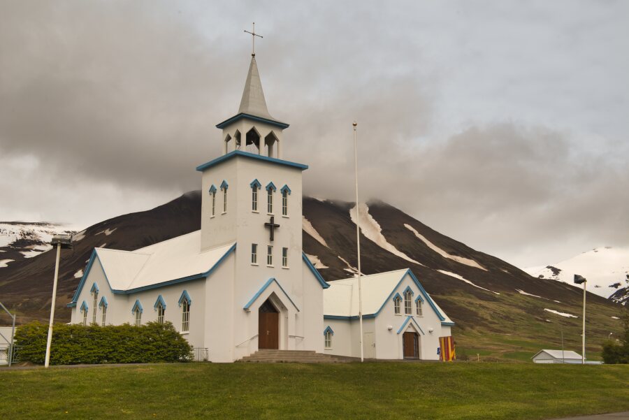 |
| Church's Dalvik |
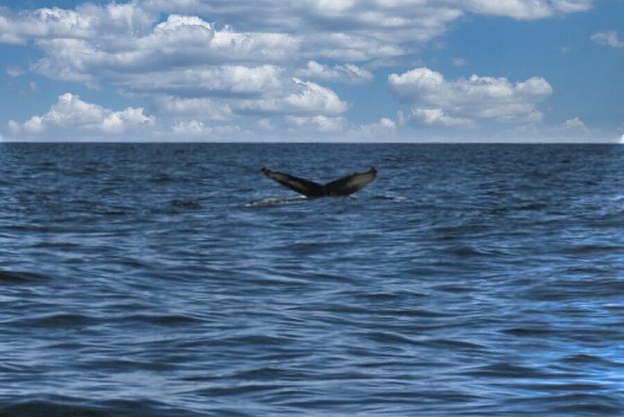
Sunday June 20 at around 1:30 p.m. I embarked in a semi-rigid dinghy with three other passengers for a photo whaling. They were there; very difficult to grasp. They were constantly underwater and only emerged to launch a jet of water vapor. I was lucky to catch one of them on the fly when they came back underwater with a beautiful tail in the air and then submerged. The return to the bivouac was around 4:30 pm. The sun was partially present.
 |