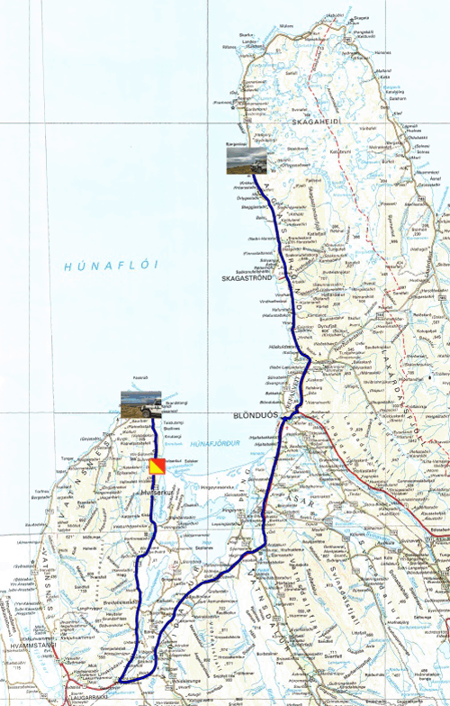
Lundi 28 juin fut brumeux jusqu’à 11:00. Je visitais la très désertique péninsule de Skagaheidi à la population très clairsemée. L’île de Drangey est visible de la majeure partie de la côte-est. Les paysages sont rocailleux avec de-ci de-là des parcelles vertes ensemencées d’herbe à moutons. Une piste à flanc de montagne m’attira pour établir mon bivouac. Ce fut la première journée de mon séjour en Islande sans connexion Internet, une zone d’ombre comme il y en a encore beaucoup dans la France profonde. La brume réapparut vers 15:00.
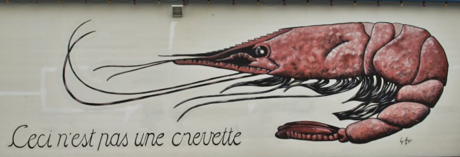 |
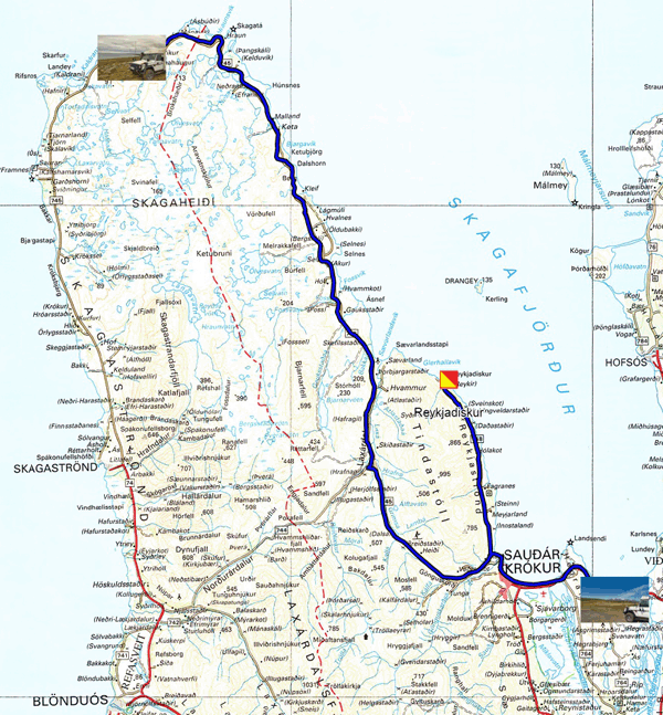
| Peinture murale à Saudarkrokur |
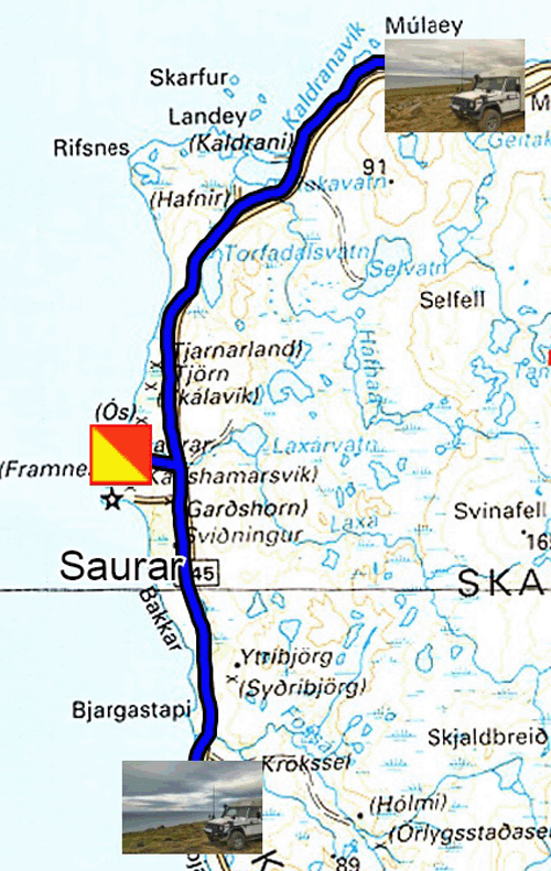
Mardi 29 juin il pleuvait à mon éveil et la température était de 9°C sous un ciel de plomb. Le nord de la péninsule Skagaheidi est aride, sauvage et austère. Comme d’habitude, de splendides sites de bivouacs en bord de mer se trouvaient à quelques encablures ! Je souhaitais voir des colonnes de basaltes supposées se trouver au lieu-dit Saurar. A l’entrée d’une piste herbeuse j’ouvris la barrière puis la refermais derrière le camion pour aller jusqu’au bout du bout de la piste. J’errais en bord de mer, point de colonnes de basaltes. Dépité je retournais sur la piste principale, route 745. La côte sud-ouest de la péninsule est plus verdoyante, relativement, et les fermes ont déjà stocké pour l’hiver prochain dans des ballots blancs le fourrage pour les moutons. Je trouvais un bivouac au sommet d’une falaise. En début d’après-midi un vent violent se leva balayant les nuages, le soleil apparut élevant la température à 14°C et balançant le camion. En Islande le temps change très vite.
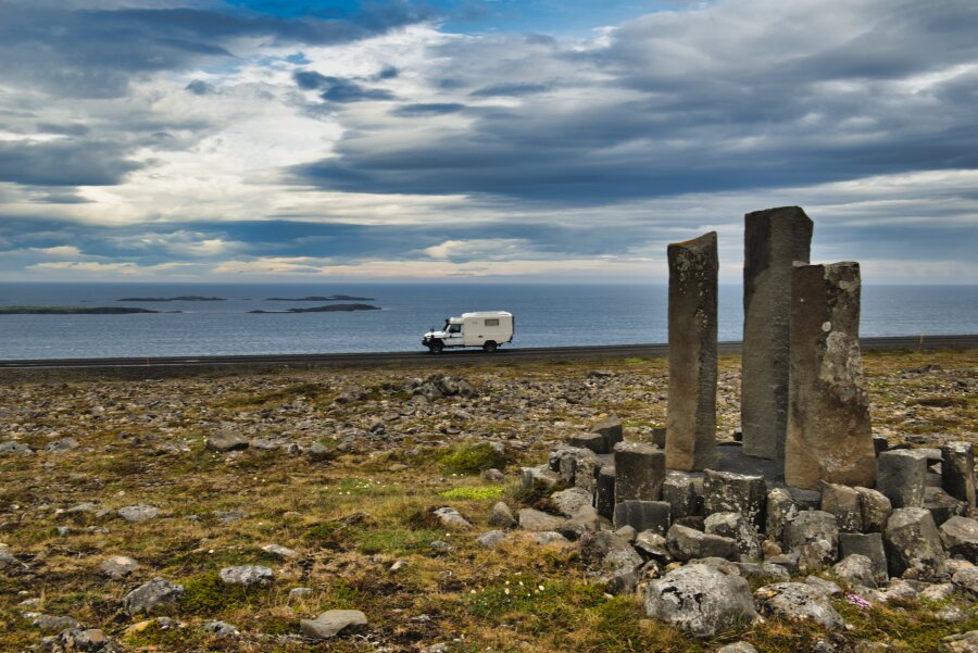 |
| Peut être les colonnes de basaltes annoncées ? |
Mercredi 30 juin après une nuit, en plein jour latitude 65° Nord oblige, très agitée par un vent très violent, je parcourais la côte ouest de la péninsule jusqu’à Blonduos puis la côte est de la péninsule Vatnsnes. Les paysages sont verdoyants de culture de plantes fourragères destinée aux moutons. La seule curiosité fut le rocher Hvitserkur avec avec ses deux fenêtres sculptées par les embruns pendant des millénaires. La photo est prise depuis l’observatoire ; la descente sur la grève était trop dangereuse pour un homme seul ! Je trouvais un stationnement à un lieu dénommé sur la carte Hindiksvik. Le vent persista à souffler violement toute l’après-midi, n’augurant pas une nuit boréale paisible.
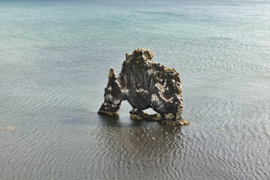 |
| Hvitserkur |
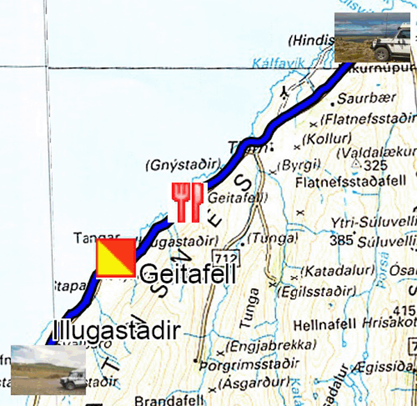
Jeudi 1er juillet après une grasse matinée, je déjeunais au restaurant Geitafell, recommandé par le Lonely Planet. La soupe de poisson et le skyrcake sont excellents, cependant le café est du type américain, c’est peu dire. Puis à Illugastadir, j’observais les phoques (seals) vautrés sur les rochers avec le téléobjectif de 500mm. Je trouvais un bivouac à Bergsstadir sur un terrain vague occupé par du matériel en déshérence.
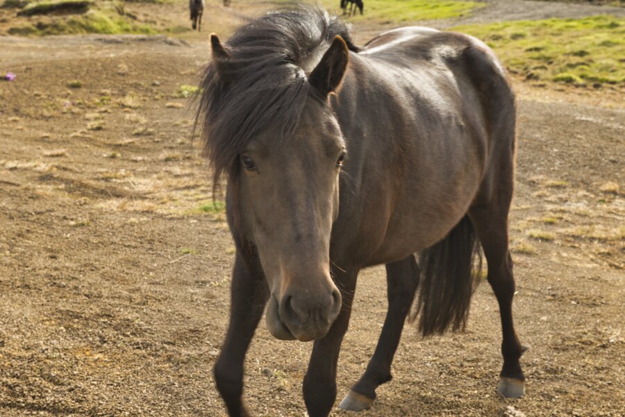 |
| Islandic horse, Matutinal visiteur, Morning visitor |
Vendredi 2 juillet je parcourais la route 711 et 714 jusqu’à la jonction avec la route 1, puis à la station-service N1 je pris la route 68 qui me mènera à Hölmavik. Je visiterais la région de Westfjords pendant une quinzaine de jours. Le paysage est verdoyant d’herbe à mouton. Je remarquais que les paysans aplanissaient le terrain avec de lourds engins de terrassement pour agrandir les parcelles cultivables en les drainant avec des fossés. La bergerie Hamarsrétt bénéficie d'un emplacement unique où elle se dresse sur la plage à l'ouest de la presqu'île de Vatnsnes. Elle est utilisée à l'automne lorsque les agriculteurs de la péninsule trient les moutons qu'ils élèvent dans la montagne. Plus loin le phare Sydraskaro attire l’attention des marins. Je bivouaquais au bord du fjord en face de Laxardalur à proximité du pont.
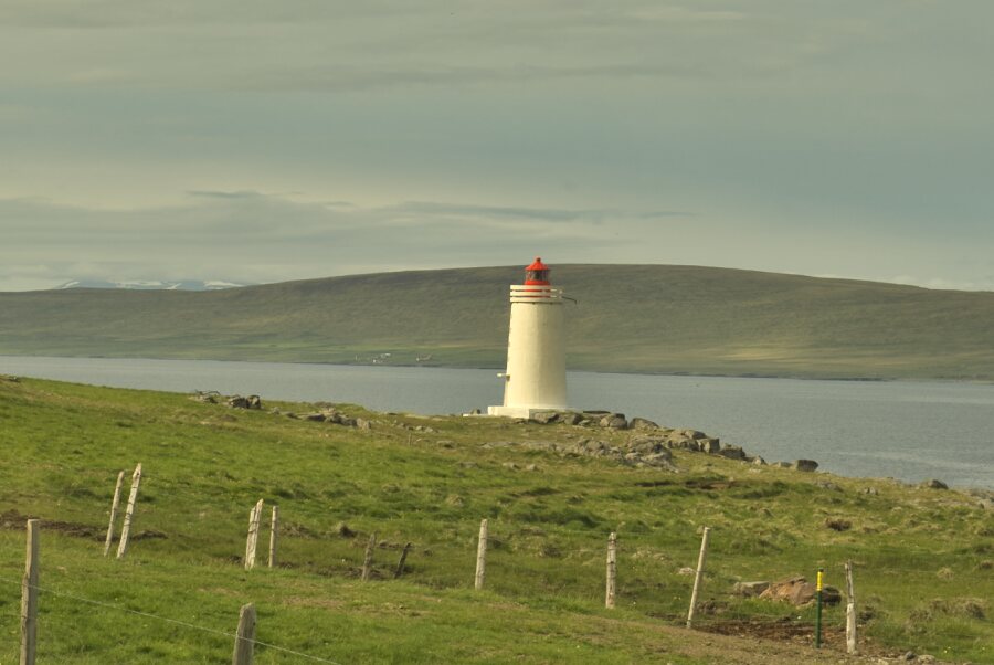 |
| Sydraskaro |
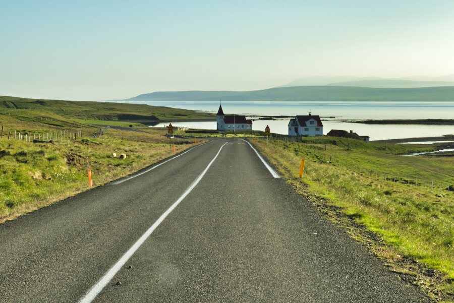
Samedi 3 juillet je parcourais la pastorale route 68 vers Hölmavik dans un paysage de montagnes russes avec de petites fermes et des parcelles d’herbes à moutons dûment drainées. Déci delà une église piquée sur une colline se rappelle à ses paroissiens. L’Islande est à +70% luthérienne évangélique et à 6% sans religion. Parti tôt j’eus une matinée ensoleillée avec un ciel limpide, pas terrible pour les photos. La ville d’Hölmavik est construite autour de son port et fut dans les temps anciens un lieu d’emprisonnement. Pour un stationnement idyllique je rebroussais chemin jusqu’à Heydaisa pour surplomber le fjord Gälmaströnd avec au lointain Hölmavik. Des tâches de neige subsistent au sommet des montagnes environnantes
 |
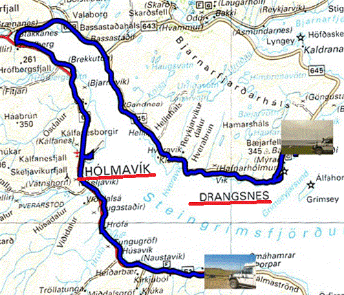
Dimanche 04 juillet fut une journée maussade, visibilité réduite et ciel bouché. Le Hot-Pots de Drangsnes est un bac à laver, je passais mon chemin ; Kerling est un rocher issu de la légende des Trolls. A la sortie de la ville la route devient une piste de terre. Je trouvais un bivouac après Bakkagerdi au bord du fjord.
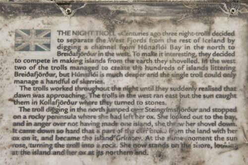 |
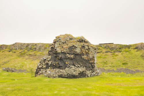 |
| Kerling, Drangsnes | |