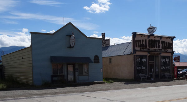
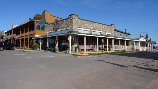
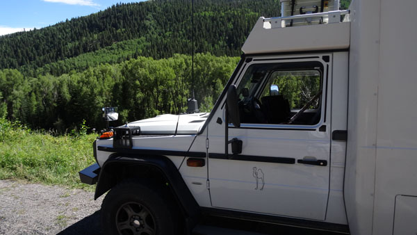
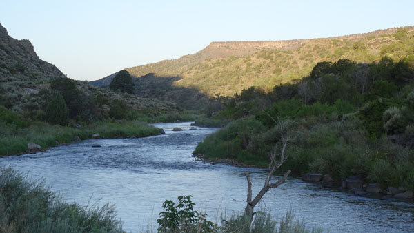
Road#17 to Platoro
On Monday, August 10 I left Olivia & Fred after four days stay in
their pleasant company. My target was to traverse the road #17 until
Platoro. From Salida to Hot Mineral Springs the road goes up on a
plate at 2320 m of altitude. Then until Antonito it is quasi
rectilinear during around 120 km. After Antonito it skirts a river
in a forest of fir trees bordering the road which curves between
2600 and 2654 m of altitude at the bivouac at the edge of the road
overhanging the river.
En route
Road #17 to Platoro
 |
 |
| Bivouac over a river |
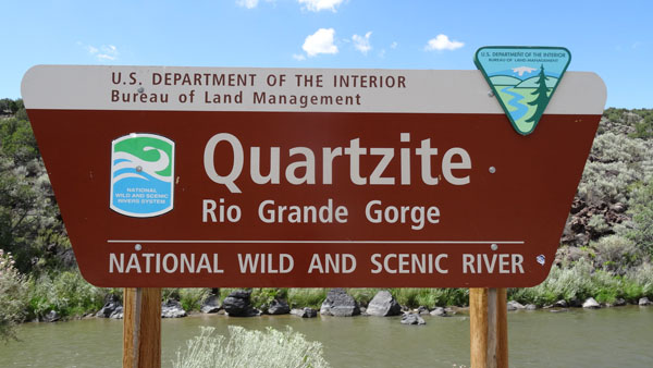
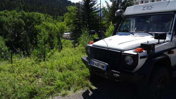
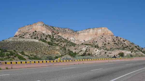
Road #68, Rio Grande Gorge
Taos
The target of Tuesday 11th /08 was to go to Los Alamos. Alas the
gauge of the diesel tank was again blocked and I did not find diesel
on the way. The GPS indicated that the petrol station, Shell,
nearest was in Taos. Consequently I made the detour towards
Taos already
visited before in 11/2012. To fill the three tanks is always a test
according to the station. No chance the pump of the station required
the zip code of bank card used, I do not have any, not being
resident the USA. It is thus necessary to go to discuss with the
cashier by giving the bank card, which she keeps, and which she
outputs of an amount higher than that estimated. This operation is
done for each side, right side tank of "G" then left side the two
additional tanks by Azalaï. Often there is a maximum amount which
requires a new intervention of the cashier and an additional ticket.
Then it should be checked the tickets that the too perceived is well
refunded. And later the bank account will have to be pointed. It is
also that travelled round the world. At this time the content of the
three tanks was of 47.23 gallons i.e. 178.77 liters; the operation
lasted more than a half an hour! Then I sought Visitor Center to
take road maps and booklets. Of course nobody knows where it is… at
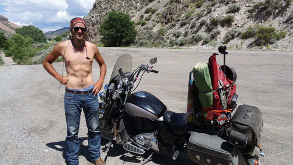
the southern exit of the city without road sign. Mow I stopped on a
quay level above the Rio Grande Gorge. Hardly decree a biker came to
discuss with me about my strange vehicle and to require to visit it.
Phew I was alone.
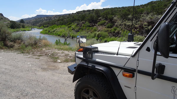
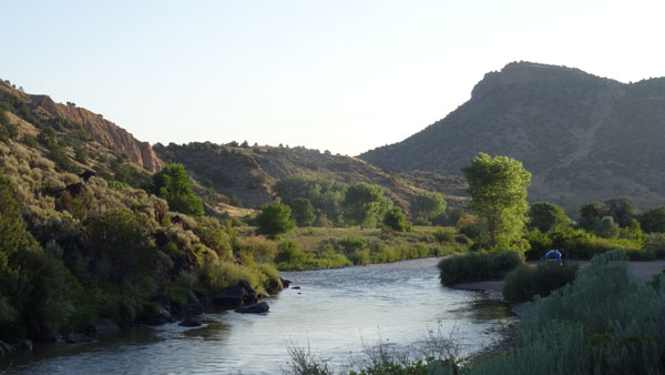
Bivouac
 |
 |
| A lover of the Azalaï |
At the edge of the river |
Los Alamos, NM
 |
 |
| Bivouac at sunset |
 |
| En route to Los Alamos |
On the way towards the south on Wednesday, August 12 I made a detour in
the mountains to visit the two museums recalling the epopee of the
Manhattan project, code name Project Y, design of an atomic bomb before
the Nazi regime has it. After a first conclusive test, Trinity Test on
July 16th, 1945, two bombs were released on
Hiroshima on August 6th, 1945 then on
Nagasaki
on August 8th, 1945 involving the surrendering of Japan on
August 15th, 1945. I bivouacked on the spot at 2200 m high.
To click on the photograph to visualize the
gallery
Manhattan Project
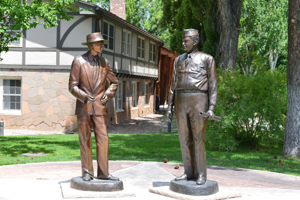 |
| Dr. J. Robert Oppenheimer & General Leslie R. Groves |
The GPS road tacklog
From Los Alamos, NM to Lordsburg, NM
from 2015/08/14 to 2015/08/16
En route road #70
After having spent peaceful and fresh night I left for a length run
to reach Lincoln, NM, and the epopee of Billy The Kid. I passed
Santa Fe without to stop. I had visited the city and its innumerable
museums the
11/25/2012. Then I traversed a plate between 1900 and 2100
meters high entirely privatized and enclosed for about 300 km.
Paysage
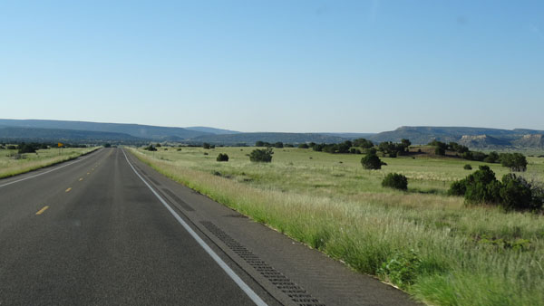 |
| Plate between 1900 et 2100 m high |
Lincoln, NM
The Capitan village, road #380, is not of any interest. at about 21 km
the village of Lincoln made up of a single street, road #380, was the
theater of the bloody exploits of Billy The Kid, finally shot down by
the Sheriff Pat Garett. Six houses and a structure are registered in New
Mexico State Monuments. Then I decided to carry on my way towards the
village of Cloudcroft to find a bivouac with a fresh night at 2335 m
high.
To click on the photograph to
visualize the gallery
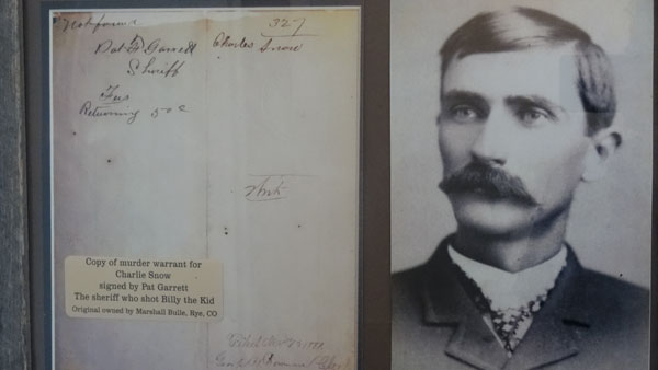 |
| Sheriff Pat Garett |
Alamogordo, NM
Cloudcroft
On Friday, August 14 I visited the Cloudcroft village at about 2645
m high GPS. Houses date back from the end of the 19th century. In
the street I noticed a building in construction according to the
technique of the timber structure and the plates of agglomerated.
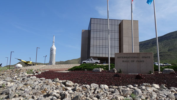
Museum of Space History
Then I went to Alamogordo to see the nième+1 museum devoted to the
space conquest by the USA. Each museum adds its contribution to the
knowledge of this human adventure which remains to become about it. In
the afternoon I made purchases in local Walmart. Due to the still
suffocating temperature at 16:00 and 1451 m high I returned in the
mountains to find freshness at 2447 m high. But alas it will be
necessary well that I tolerate the high temperatures as from tomorrow.
To click on the photograph to visualize the
gallery
Las Cruces, NM
After a good night in the mountains on Saturday, August 15th I went
down in the desert plain at 1300 m high GPS from Alamogordo to Las
Cruces during about 110 km of a Hwy on straight line to arrive at
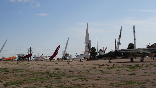
White Sands Missile Range
White Sands Missile Range
The site is a military base since 1945 for the tests of the missiles
of any nature of which those conceived by Wernher von Braun, defector of
the Nazi Germany. It is also used as an alternative landing site for the
space shuttle. In this Saturday, August 15 the small museum was closed
only the park of missiles was visible. To
click on the photograph to visualize the gallery
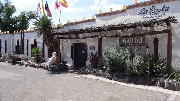
Mesilla
In this day of the Assumption I was going to lunch at the restaurant
La Posta in Mesilla recommended by Lonely Planet where I lunched a very
tasting Beef Fajitas accompanied by glass of Chardonnay. Then I visited
Old Mesilla made up of a plaza with shops for tourists. Architecture is
standard Hispanic style of the middle 19th century. I noticed once again
that the tradesmen used the bloody adventures of Billy The Kid to make
business. To click on the photograph to
visualize the gallery. Then I was on the road again the road to
hope to find freshness in the Rock Hound State Park at 1440 m high. Que
nenni, my weather station showed 39°C outside and 42°C in the body at 4
p.m.
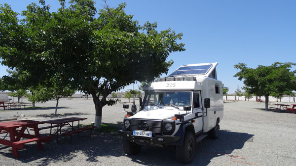
Lordsburg, NM
KOA Campground
On Sunday, August 17 hardly two hours to reach the KOA Campground in
Lordsburg to bivouac, publish the pages of my website and to send
emails.