-- Leh, Nubra valley
The red squares of the map show the bivouac waypoints given by the table of campsite-position menu.
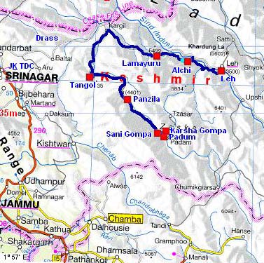
the road tracklog
from Tangol à Leh
from 13/08 to 20/06/2007
The 13/08 I drove the last 160 kilometres to arrive at the foot of the monastery of Karsha in eight hours, stops deduced. The landscapes are sublimes in their austerity. The road skirts a solid mass of Nun-Kun glaciers at more than 7,000 meters high. At the pass of Pensi I met the first Zanskaris. The village at the foot of the monastery was deprived of tourist and the inhabitants were occupied by agricultural work. I had visited the monastery at the time of the Great walking in Zanskar in 1994 and I had stayed there in 2002 by walking the Chadar.
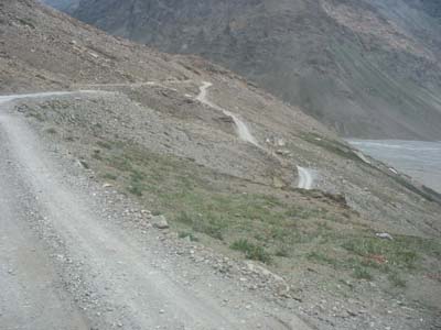
Slope of Pensi-La
towards Karsha
the 13/08/2007
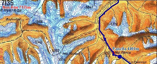
Road tracklog
towards Karsha
the 13/08/2007
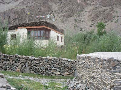
Traditional house
Tungri
the 13/08/2007
The 14/08 I undertaken to climb the path now concreted which leads to the main building of the monastery. I was the only visitor. I attended in front of the room of prayer with a ceremony of offerings the divinities. While walking down from the terrace I met two French people, Christian and Laure, members of the AAZ association and at present in Padum. They invited me to lunch. I became acquainted with Marc at the origin of the opening of a school in Pipiting Monastery in 1988 and the construction of the new building in Ufti in 2000. I spent the afternoon with Christian and Laure to make visits of courtesy to their friends in Padum. In the evening Marc offered a reception to the people in contact with AAZ and Lamdon Model High School in Ufti.
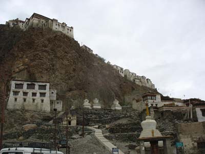
Monastery
Karsha
the 14/08/2007
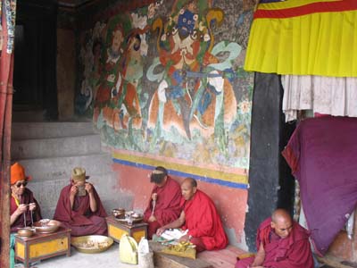
Religious ceremonial
Karsha
the 14/08/2007
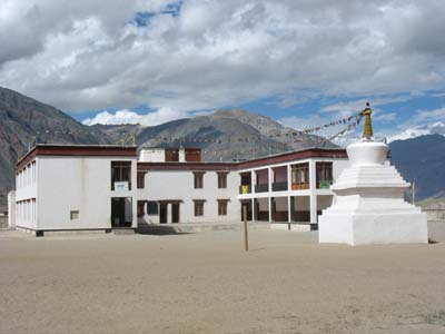
Lamdon Model High School
Ufti
the 14/08/2007
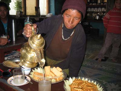
Chang pot
Padum
the 14/08/2007
The 15/08 is the Independence Day of India. In the morning I attended the procession of the police of the borders and the schools of Zanskar. Lamdon Model High School received the first aware for the execution of its presentation. After the lunch I left my three friends to go to visit a monastery in Sani where I establish my bivouac. This monastery belongs to the drukpa sect.
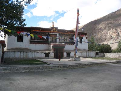
Drukpa Monastery
Sani
the 15/08/2007
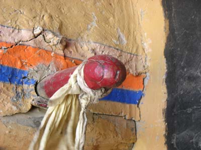
Phallus
Drukpa Monastery
Sani
the 15/08/2007
Weather being exceptionally beautiful, I decided to go back to Kargil in three days. I left the 16/08 little before 09:00 to stop on the way before Pensi La on problems flat site which I found towards 15:30.
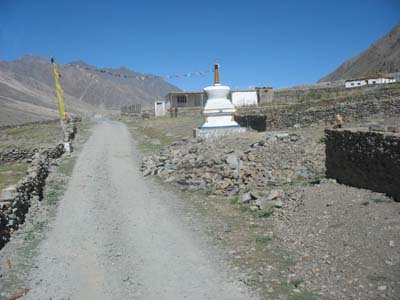
the track skirts a hamlet
en route
the 16/08/2007
The 17/08 it
took one hour to drive the 13 kilometres from the bivouac to the Pensi La for
uneven of 400 meters. The pass has an altitude given by maps of 4401 meters
high. This day there, the GPS with the sight of six satellites into direct and
an accuracy of 4 meters posted an altitude of 4506 meters high at the top of
the antenna of my truck (approximately 3 meters from the ground). Then I
stopped to visit the monastery of Rangdum. It is located on a piton dominating
the valley of Suru. The room of prayer presents some beautiful paintings of
the 15th century and statues of divinities. Shortly after the monastery I
saw at the edge of the track a very beautiful house. Finally the track skirts
the massif of Nun-Kun.
The austere beauty of Zanskar deserves to do the six-day detour, certainly the
track is often difficult.
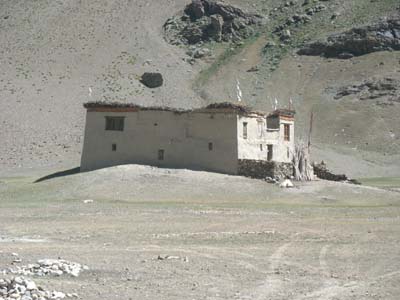
House in Suru valley
en route
the 17/08/2007
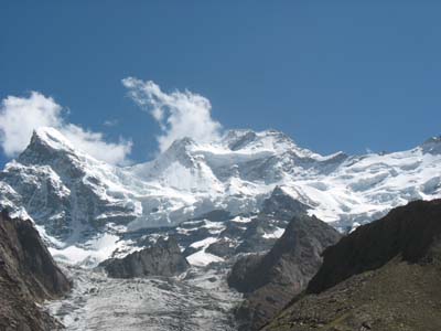
Massif of Nun-Kunl
en route
the 17/08/2007
The 18/08 the road from Tangol to Kargil appeared more difficult to me at the return than to go it; many holes and in the final part some trucks with a painful overtaking. In the evening at the bivouac in Lamayuru, as in May, I had the visit of Andre Anautica. We exchanged some remarks.
The 19/08 I was to join Leh by stopping to see again the monastery of Rizong visited in
1993 at the time of a trek.
The road from Lamayuru to Khaltse passes through the gorges of Sangeluma and
Yapola avoiding the road by the peak with the tumble towards Yapola. The map
below shows both tracklogs, in red the road in May and blue the road in
August. The black circle shows a loss of the sight of the satellites due to
the narrowness of the gorges.
The junction of the road to Rizong is located at the exit of the village of
Wule Tokpo, (N34°15.270'-E077°05.451').
The road is asphalted up to the monastery and accessible to any vehicle with
less than three meters high due to two sections with trees. The carpark could
be a bivouac. I went to the monastery on foot in less than one hour leaving
the truck to the crossroads.
Then a traffic jam of several kilometres caused by an accident insisted to me
to take the bridge to Alchi and to bivouac on the heights instead of going in
Leh.
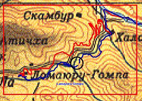
Tracklog
of the road in Mai
then in August
the 19/08/2007
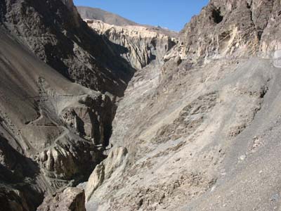
Narrow gorge
en route
the 19/08/2007
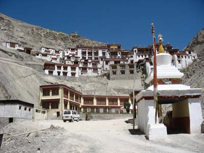
Rizong Monastery
the 19/08/2007
At the beginning of the following week I stayed in Leh to plan the continuation of the trip in Ladakh before the 15/09 probable date of the road closing to Manali depending on the snows.